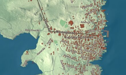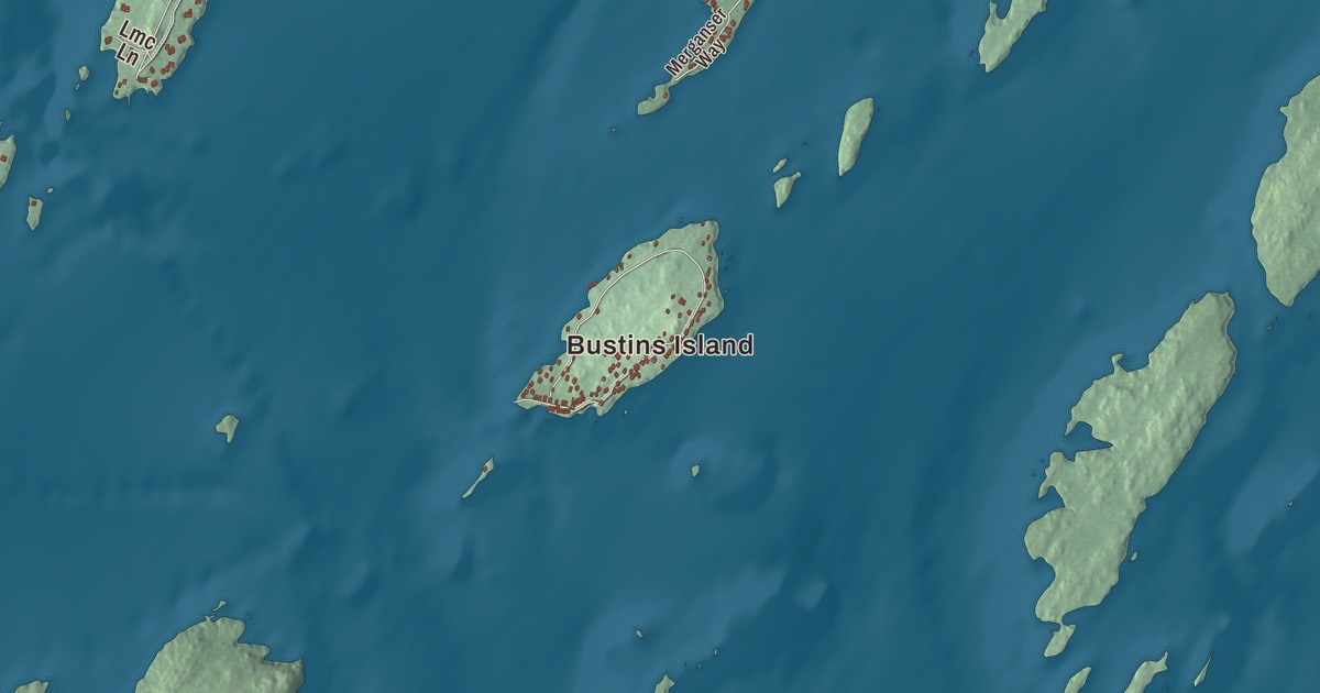
Mast Landing and South Freeport belong to the waterfront side of Freeport’s story, and Main Street is another name to look for in the aerial view. Both places and the road are printed on this map, along with Bustins Island and Florida Lake. Click here to purchase a print of this map for your wall.
Freeport is a town in Cumberland County, at the northeastern end of Casco Bay.
KNOWOL made this map in 2026 from public survey data and gave it the look of an old atlas. United States Geological Survey elevation data shades the terrain; Census Bureau files provide the roads and town boundary. The aerial view brings buildings, neighborhoods, ponds and waterways together in a town with 8,737 residents at the 2020 census.
The Harraseeket villages
Freeport was once part of North Yarmouth, known as Harraseeket after the river. It became a separate town on February 14, 1789. Its early villages included Mast Landing, Porter’s Landing, South Freeport and Freeport Corner.
At Mast Landing, timber cut inland was brought to the tidal river for shipment, including logs destined to become ships’ masts. Mills also used water power there. At Porter’s Landing, shipbuilding was a major business; Rufus Soule built ships after purchasing a yard in 1834.
South Freeport had several shipyards, along with fishing, canning and farming. The Harraseeket Historic District preserves maritime village areas along the river and was listed on the National Register of Historic Places in 1974. Porter Landing is the name printed in the aerial view.
A boot at Freeport Corner
In 1912, Leon Leonwood Bean opened a store in the basement of his brother’s apparel shop at Freeport Corner. He sold the Maine Hunting Shoe, also called the Bean Boot. L.L. Bean’s retail and catalog business grew from that beginning into a company with customers far beyond Maine.
The inland village already had a commercial history. Railroad service arrived in 1849, and E. B. Mallet established a sawmill, brickyard, granite quarry and shoe factory. Clothing was also made here by local workers using fabric sent from New York and Boston.
The surviving castle tower
Amos Gerald built the Casco Castle hotel in South Freeport in 1903 to encourage trolley travel. The hotel was lost to fire in 1914, but its stone tower survives.
Freeport also has Wolfe’s Neck Woods State Park and the Desert of Maine. Amtrak’s Downeaster stops in town, connecting Freeport with Portland and Boston. The waterfront villages, parks and stores are different parts of the same town.
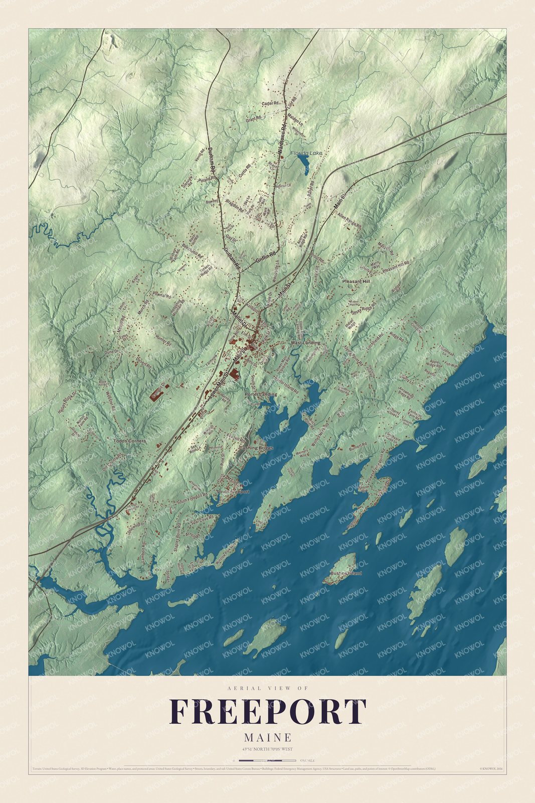
Click to explore a larger preview. The digital watermark does not appear on printed maps.
See it on a wall
The Freeport map as a framed print. Swipe for more.


Island, landings and roads
Bustins Island and Cushing Briggs are printed on the map, followed by Mast Landing, Pleasant Hill, Porter Landing, South Freeport and Todds Corners. Florida Lake has its own printed name. The smaller roads and building patterns fill in the aerial view around those places.
Main Street, Wardtown Road, Lower Main Street, Durham Road, Griffin Road and Mallet Drive are printed by name. Freeport borders Brunswick and Durham to the north, Pownal to the west and Yarmouth to the southwest.
For people who call Freeport home, this map puts the landings, neighborhoods and island together as it looks today. It can hang in an office, library or den and help teach children the geography and history beyond the shopping streets. Zoom in on the preview above to explore the details, then click here to get your copy of the Freeport, Maine map.

Sources