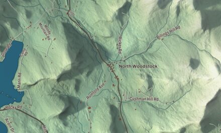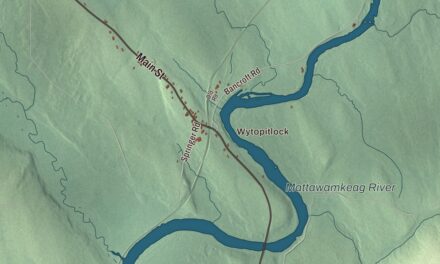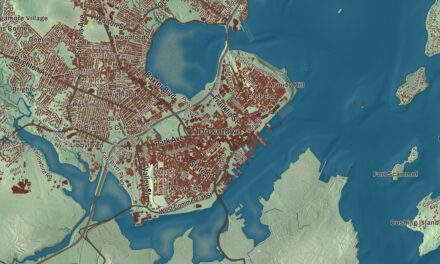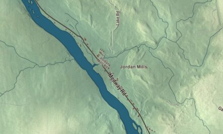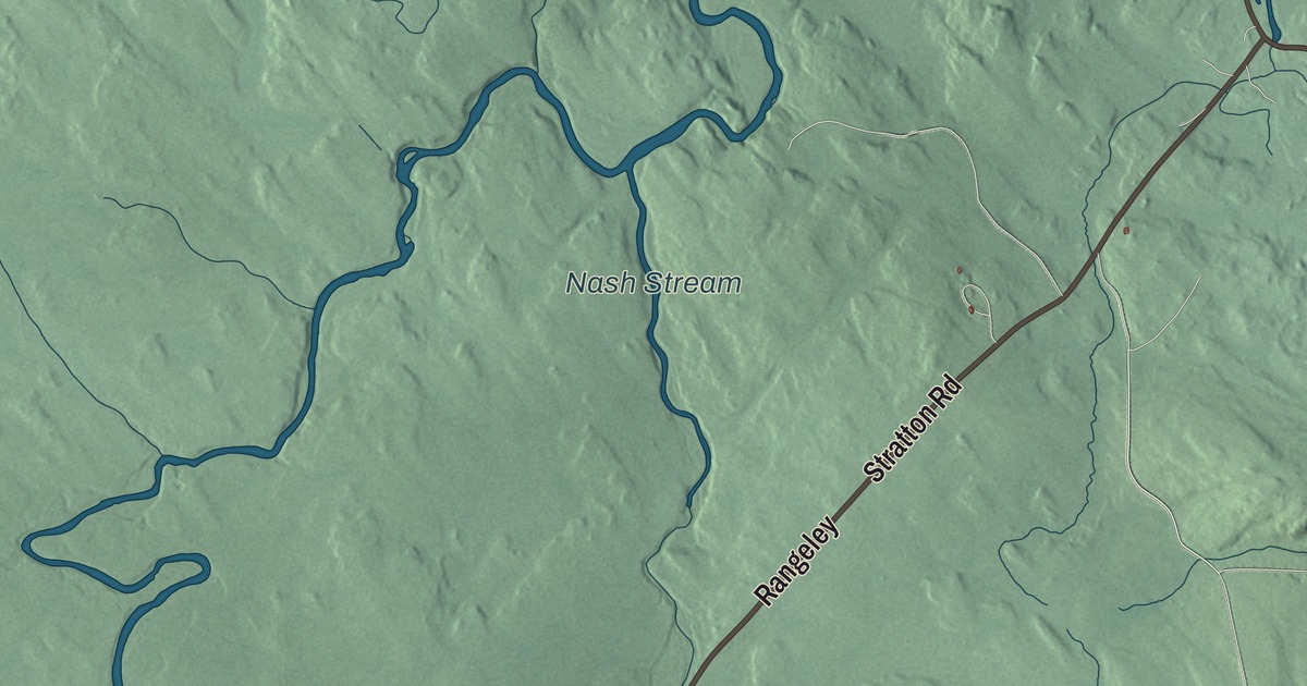
If you’re from Coplin, you’ll find Carrabassett Road and Stratton Road printed on this map of Coplin, Maine. Carrabassett Drive, Rangeley Road, Kennebago Road and Borque Road are there too, with Nash Stream and the South Branch Dead River on the water. Click here to purchase a print of this map for your wall.
Coplin is a plantation in Franklin County, with 131 people at the 2020 census.
KNOWOL made this map in 2026 from public survey data, finished to look like a page from an old atlas. Its hills are shaded from United States Geological Survey elevation data. The roads and the plantation line come from the Census Bureau, which counts 33.1 square miles in Coplin, all of it land.
A plantation in the mountains
Coplin is still one of Maine’s plantations, and its early history is thinly documented. The area was part of Bloomfield Plantation, organized in 1841, and Coplin Plantation was established in 1866. Its listed elevation is 1,368 feet.
The Coplin Plantation Schoolhouse is the only school building the community is known to have built, and it was probably already standing when the plantation was formed. A local history says it went up in the 1820s, though the building itself points to the middle of the 1800s. It taught children until 1943. The Coplin Plantation Historical Society formed in 1985 to care for it, the foundation was rebuilt in 1996, and it was listed on the National Register of Historic Places in 1997. Inside, it keeps its wainscoting and pressed metal walls and ceilings.

Click to explore a larger preview. The digital watermark does not appear on printed maps.
See it on a wall
The Coplin map as a framed print. Swipe for more.


On the road to Rangeley
The schoolhouse stands on the north side of State Route 16, about 4.5 miles southwest of where Route 16 meets Route 27 in Stratton. Those two highways come up through Carrabassett Valley together, past Sugarloaf Mountain, and part ways in Stratton, with Route 16 forking west toward Rangeley and Route 27 heading north to Eustis and the Canadian border.
Carrabassett Road and Stratton Road are printed on the map, and so are Carrabassett Drive, Rangeley Road, Kennebago Road and Borque Road. Nash Stream and the South Branch Dead River are labeled on the map.
This Coplin map makes a handsome addition to an office, library or den, and it can help teach children the geography and history of the area. It’s made for everyone who calls Coplin home, from Stratton Road to Nash Stream, as it looks today. Zoom in on the preview above to explore the details, then click here to get your copy of the Coplin, Maine map.

Sources