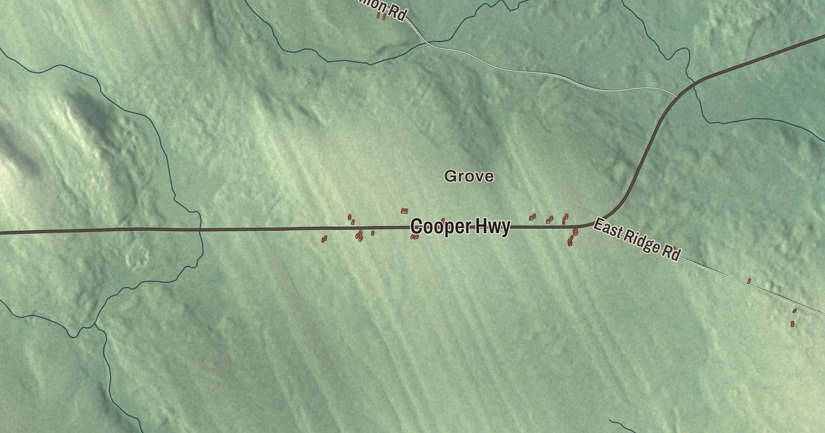
Cooper Highway and Grove are the first names to look for on this map of Cooper, Maine, and Vining Lake and Lake Cathance are labeled on the water. East Ridge Road, North Union Road, Breakneck Road, Camp Road and Grove Pond Road fill in the rest. Click here to purchase a print of this map for your wall.
Cooper is a town in Washington County, with 168 people at the 2020 census.
KNOWOL made this map in 2026 from public survey data and gave it an old atlas look. The terrain is shaded from United States Geological Survey elevation data, and the roads and the town line come from the Census Bureau, which measures Cooper at 32.57 square miles, with 1.86 of them under water.
General Cooper’s town
Cooper was incorporated in 1822, and the town was named for General John Cooper, who owned land here. The census counted 154 people here in 2010 and 168 in 2020. Its listed elevation is 345 feet.
State Route 191 is the town’s link to the rest of Washington County. It runs 61.24 miles from Lubec to Baring Plantation, giving travelers a way around Calais and a road to the Cutler Naval Station. Coming north from Cathance Township, it follows Lake Cathance in Cooper. Then it heads due east just below the 45th parallel, possibly because of a 19th-century worry that the border with Canada would be drawn along that line, the way it runs in New York and Vermont.
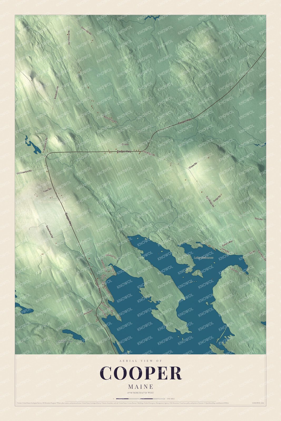
Click to explore a larger preview. The digital watermark does not appear on printed maps.
See it on a wall
The Cooper map as a framed print. Swipe for more.


Across the map
Grove is printed on the map, and so is Cooper Highway. East Ridge Road, North Union Road, Breakneck Road, Camp Road and Grove Pond Road are printed too. Vining Lake and Lake Cathance are labeled on the map, and the smaller roads around them are drawn in as well.
This map of Cooper makes a fine addition to an office, library or den, and it can help teach children the geography and history of the area. It’s made for everyone who calls Cooper home, from Grove to the shore of Lake Cathance, as it looks today. Zoom in on the preview above to explore the details, then click here to get your copy of the Cooper, Maine map.

Sources