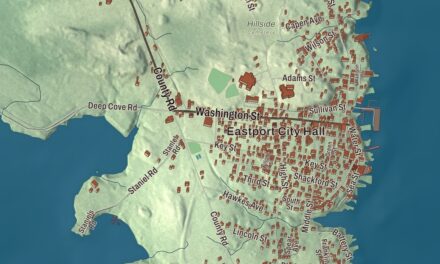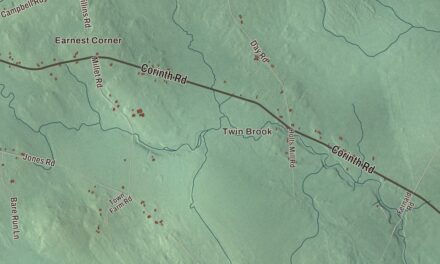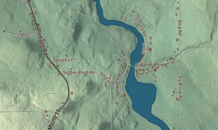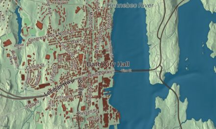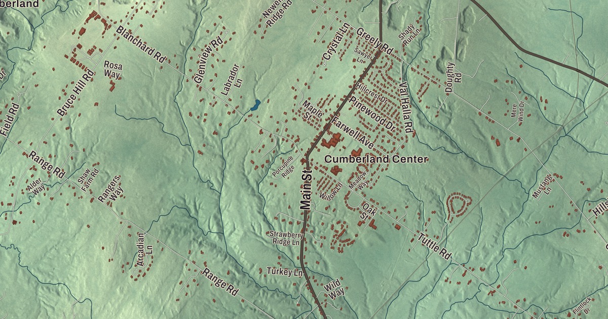
Cumberland runs from Cumberland Foreside on Casco Bay to West Cumberland on the Windham line, and this map of Cumberland, Maine takes in all of it. Look for Foreside Road, Cumberland Center and Cumberland Center Station, then Main Street, Longwoods Road, Gray Road, New Gray Road, Middle Road and Knights Pond. Click here to purchase a print of this map for your wall.
Cumberland is a town in Cumberland County, with 8,473 people at the 2020 census.
KNOWOL made this map in 2026 from public survey data and gave it the look of an old atlas. The roads and the town line come from the Census Bureau, which measures Cumberland at 26.25 square miles, 3.37 of them water, and United States Geological Survey elevation data shades the land.
The captain who named the town
Cumberland broke off from North Yarmouth and became its own town in March 1821. The new town government chose Ephraim Sturdivant to give it a name, and he picked Cumberland. Sturdivant had gone to sea by the age of 12 and traded in the West Indies and Europe. In 1810 he brought a cargo of merino sheep from Portugal to Sturdivant Island, and his page credits him as the first person to bring merino sheep to Maine. During the War of 1812 he had President Madison’s permission to command the schooner Reaper as a privateer, and he went on to serve as the town’s first treasurer.
His house, built in 1810, still stands at 114 Foreside Road in Cumberland Foreside. Twelve tall pines once grew on the hill behind it, known as Ephraim’s Mount, and ship captains used “the Apostles” as a landmark coming into Portland Harbor until the last of them fell in 1935. The stretch of Foreside Road around the house is called the Sturdivant neighborhood, and the Gyger House at number 70, its oldest part from the 18th century, stands there too.
Farms, the fair and a Shaker song
Cumberland has a long farming history, and a few working farms are left, among them Sweetser’s Apple Barrel & Orchards, Spring Brook Farms and Double T Orchards. The Cumberland Fair goes back to October 1868, when the first one ran two days in the center of town with produce, handicrafts, an ox-pull and horse racing. Today the Cumberland Farmers’ Club puts it on at the Cumberland Fairgrounds, usually in the last week of September, and it hosts the Maine State Pumpkin and Squash Weigh-Off. Since 1960 the town’s motto has been “Where what comes around keeps going around!”
Joseph Brackett was born in Cumberland in 1797 as Elisha Brackett and grew up among the Shakers, rising to lead the society in Maine. He’s generally credited with “Simple Gifts,” the Shaker dancing song written in 1848, which was little known outside the Shaker communities until Aaron Copland used its melody in Appalachian Spring in 1944. The mathematician Katharine Ott, who grew up in Cumberland, won the Association for Women in Mathematics’ 2014 National Service Award for organizing a day of math activities for girls in secondary school and their teachers, and Hoddy Hildreth, who also grew up here, served in the Maine Senate and on the boards of the Conservation Law Foundation and the Maine League of Conservation Voters.
Knight’s Pond and the islands
Knight’s Pond Preserve, on the North Yarmouth line, covers 213 acres and is the largest undeveloped single property in Cumberland. Landowners made the pond in the late 1950s by damming Mill Brook, and in 2015 Cumberland and North Yarmouth bought it together to keep it open. People walk, bike, fish, skate and ski there, and the woods north of the Greely Road Extension parking area hold stone rubble from Portland’s Union Station, torn down in 1961. Near the middle of town, Twin Brook is a small town-run park for walkers, skiers and team practices.
Chebeague Island, out in Casco Bay, was tied to Cumberland for 184 years. It became its own town on July 1, 2007, after the Maine Senate and House voted for the separation.
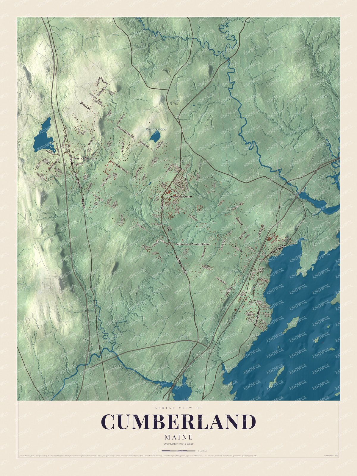
Click to explore a larger preview. The digital watermark does not appear on printed maps.
See it on a wall
The Cumberland map as a framed print. Swipe for more.


From the bay to West Cumberland
Cumberland Center is printed on the map, and so is Cumberland Center Station. Main Street, Longwoods Road, Foreside Road, Gray Road, New Gray Road and Middle Road are printed too. West Cumberland is printed out toward the inland edge of town, and Knights Pond is labeled on the map.
This Cumberland map makes a fine addition to an office, library or den, and it can help teach children the geography and history of the area. It’s made for everyone who calls Cumberland home, from Foreside Road to West Cumberland, as it looks today. Zoom in on the preview above to explore the details, then click here to get your copy of the Cumberland, Maine map.

Sources
- Cumberland, Maine, Wikipedia
- List of municipalities in Maine, Wikipedia
- Ephraim Sturdivant, Wikipedia
- Ephraim Sturdivant House, Wikipedia
- Gyger House, Wikipedia
- Cumberland Fair, Wikipedia
- Joseph Brackett, Wikipedia
- Simple Gifts, Wikipedia
- Katharine Ott, Wikipedia
- Hoddy Hildreth, Wikipedia
- Knight’s Pond Preserve, Wikipedia
- Chebeague Island, Maine, Wikipedia