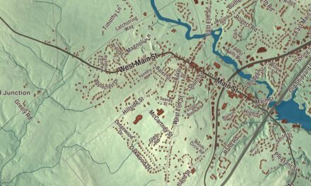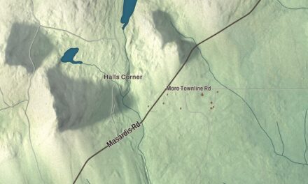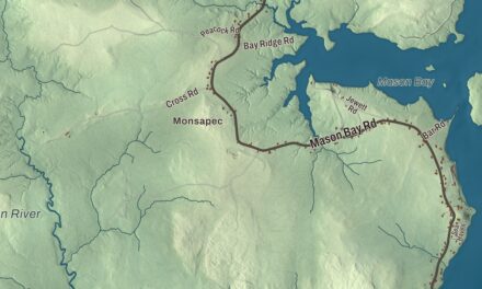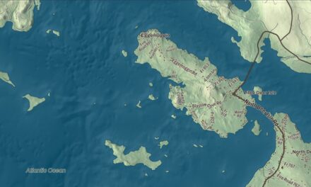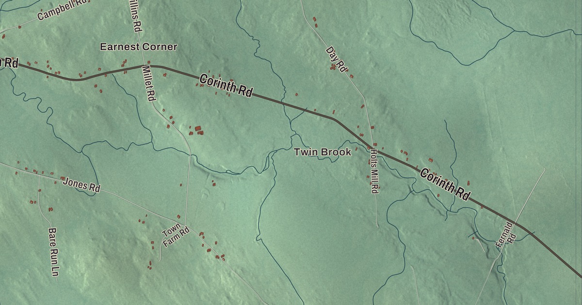
If Twin Brook or Hicks Corner is part of your Garland, start there on this map. Garland Pond and the roads around town give you more familiar names to find. Click here to purchase a print of this map for your wall.
Garland is a town in Penobscot County.
KNOWOL made this map in 2026 from public survey records, combining modern geography with the look of a vintage atlas. United States Geological Survey elevation data shapes the terrain, and Census Bureau files supply the roads and municipal boundary. Buildings, ponds and waterways complete the aerial view.
From Lincoln to Garland
The township was granted to Williams College, then sold to proprietors in 1798. It was called Lincoln after Levi Lincoln, one of those proprietors. Settlement followed in 1802, and incorporation in 1811 brought the name Garland, honoring Joseph Garland of Salisbury, New Hampshire.
Garland had 1,026 residents in the 2020 census. Its local history also includes a Grange chapter established the year after the statewide organization formed in 1873. The chapter’s hall on Oliver Hill Road was built in 1891 and entered the National Register of Historic Places in 1975.
A hall for meals and meetings
Garland Grange Hall combines Greek Revival and Italianate features. Its downstairs rooms were arranged for a kitchen and dining, with an auditorium upstairs. Those separate spaces tell you something concrete about the building’s role in community life, accommodating meals as well as larger meetings.
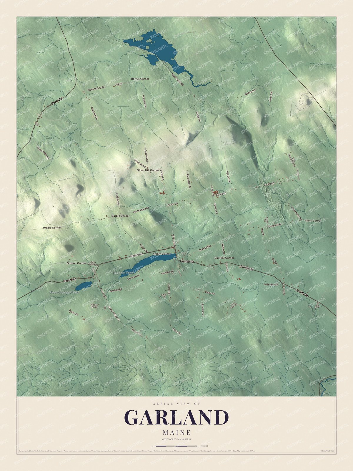
Click to explore a larger preview. The digital watermark does not appear on printed maps.
See it on a wall
The Garland map as a framed print. Swipe for more.


Exploring the Garland map
Find Twin Brook, Hicks Corner, Preble Corner, Berrys Corner and Durbin Corner. Dexter Road, Corinth Road, Dover Road and Valley Avenue Road carry printed names, as do Oliver Hill Road and Foss Hill Road. Oliver Hill Road also connects the map’s names with the sourced history of the Grange hall.
Garland Pond and West Garland Pond are both named on the artwork. Kenduskeag Stream begins at Garland Pond and runs through several towns before reaching Bangor and the Penobscot River. That wider route gives the pond a place in the region’s waterways.
For people who call Garland home, the map brings familiar roads and places together as it looks today. Hang it in an office, library or den, or use it to teach children the geography and history of the area. Zoom in on the preview above to explore the details, then click here to get your copy of the Garland, Maine map.

Sources