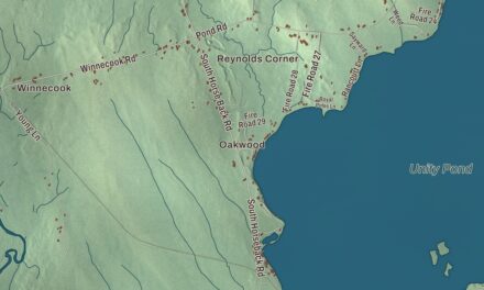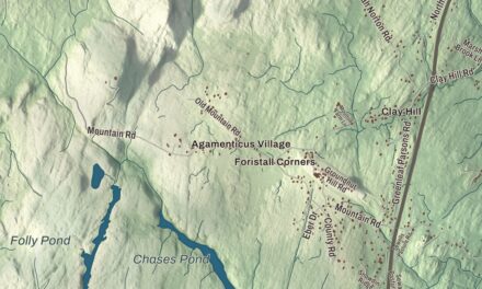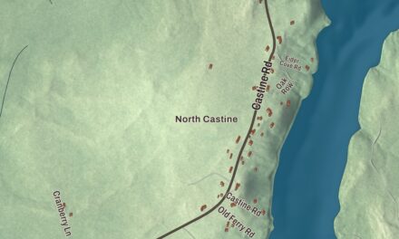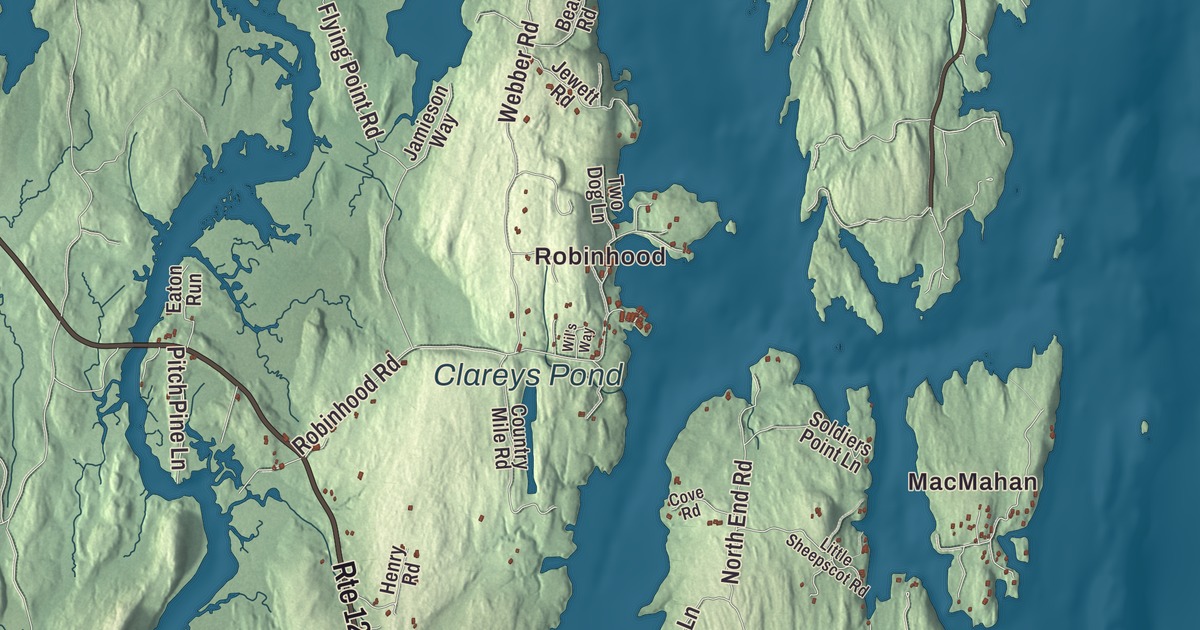
Robinhood, Five Islands and Bay Point each offer a familiar starting point on the Georgetown map. Charles Pond and Clareys Pond are printed too, alongside the island’s roads. Click here to purchase a print of this map for your wall.
Georgetown is a town in Sagadahoc County, near the mouth of the Kennebec River.
KNOWOL made this map in 2026 from public survey records, combining modern geography with the look of a vintage atlas. United States Geological Survey elevation data shapes the terrain, and Census Bureau files supply the roads and municipal boundary. Buildings, ponds and waterways complete the aerial view.
The name stayed with the island
Georgetown was incorporated in 1716 as Georgetown-on-Arrowsic. The old municipality eventually included Parker’s Island, Woolwich, Phippsburg and Bath, including what became West Bath. By 1841, the other parts had separated into towns, leaving Parker’s Island with the Georgetown name.
Fishing and the merchant marine were major local occupations. Residents also raised livestock and produced butter and cheese, and nineteenth-century businesses included sawmills, shingle mills and shipbuilding. The 2020 census counted 1,058 residents.
Reid State Park and a farm illustrator
Walter Reid donated land to the state in 1946 for Reid State Park. The park includes sandy beaches, dunes, tide pools, marsh and a lagoon, with habitat used by nesting shorebirds. Those are distinct parts of the island’s coastal landscape.
Dahlov Ipcar moved to a Georgetown farm with her husband after their marriage in 1936. Farming shared her life with work as an author, illustrator and sculptor. A solo exhibition of her work opened at the Museum of Modern Art in 1939, and in 1945 she illustrated Margaret Wise Brown’s children’s book The Little Fisherman.
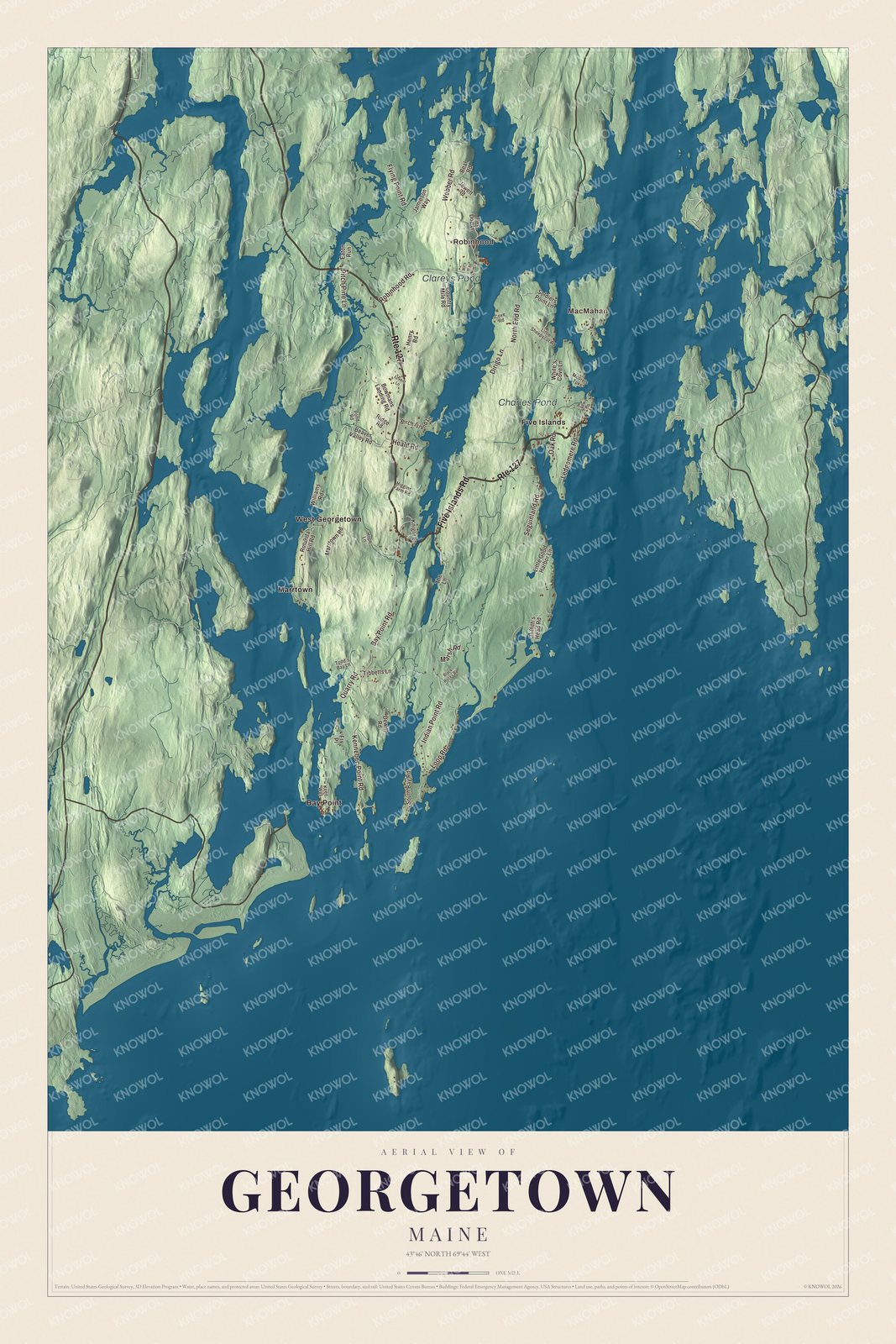
Click to explore a larger preview. The digital watermark does not appear on printed maps.
See it on a wall
The Georgetown map as a framed print. Swipe for more.


Exploring the Georgetown map
Look for Robinhood, MacMahan, Bay Point, Five Islands and Marrtown. Five Islands Road, Bay Point Road, Indian Point Road and North End Road are named, along with Seguinland Road and Webber Road. The island is accessible by car from the mainland.
Charles Pond and Clareys Pond have printed names of their own. Georgetown lies between the mouths of the Sheepscot and Kennebec rivers on the Gulf of Maine. The aerial view brings roads, buildings and waterways together within the town boundary.
For people who call Georgetown home, the map brings familiar roads and places together as it looks today. Hang it in an office, library or den, or use it to teach children the geography and history of the area. Zoom in on the preview above to explore the details, then click here to get your copy of the Georgetown, Maine map.

Sources