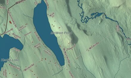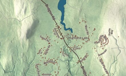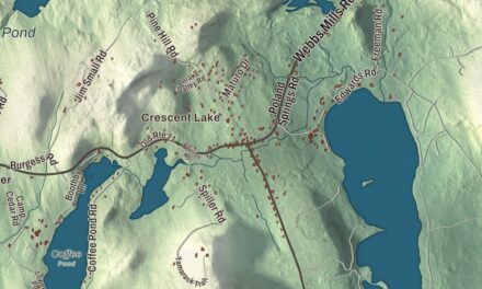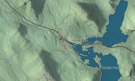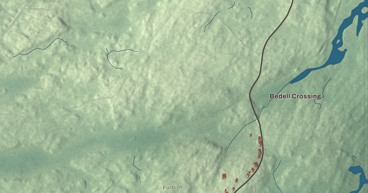
Bedell Crossing and Chauncey Creek are places to find on this Kittery Point map. Look for Pepperrell Road and Brave Boat Harbor Road, then explore the community’s streets and buildings. Click here to purchase a print of this map for your wall.
Kittery Point is a named community in York County.
KNOWOL made this map in 2026 from public survey records, United States Geological Survey elevation data and Census Bureau files. Its atlas layout brings together Kittery Point’s streets, buildings, ponds and waterways, and terrain, the community boundary and the pattern of buildings. The community is mapped with its own boundary. The finished artwork gives Kittery Point its own place title.
The houses at the harbor
Kittery Point is a community within the town of Kittery. Its early economy included fishing and the shipment of timber to England and the West Indies.
The John Bray House dates to 1662 and was built by a shipwright. The Lady Pepperrell House followed in 1760, a Georgian house built for William Pepperrell’s widow. Fort McClary’s surviving blockhouse dates to 1844.
John Haley Bellamy
Woodcarver John Haley Bellamy was born in Kittery in 1836 and is associated with Kittery Point. He learned furniture making in Portsmouth and worked with ship carver Laban Beecher in Boston.
Bellamy made wooden eagles, decorative ship carvings and patented clock cases. In 1880, he received a commission for the eagle figurehead of USS Lancaster. That carving is now in The Mariners’ Museum in Newport News, Virginia.
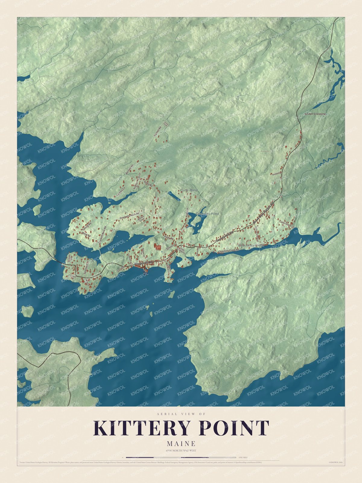
Click to explore a larger preview. The digital watermark does not appear on printed maps.
See it on a wall
The Kittery Point map as a framed print. Swipe for more.


Explore the Kittery Point map
Bedell Crossing is printed on the artwork, along with Pepperrell Road, Tenney Hill Road and Brave Boat Harbor Road. Haley Road, Chauncey Creek Road and Crocketts Neck Road are road names to find too.
Deerings Pond, Cutts Pond and Chauncey Creek are labeled on this map. Look over the drawn streets around them and compare the buildings with the relief of the terrain.
This map shows Kittery Point as it looks today, made for people who call Kittery Point home. Hang it in your office, library, or den, or use it to teach children the geography and history of the area. Zoom in on the preview above to explore the details, then click here to get your copy of the Kittery Point, Maine map.

Sources