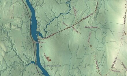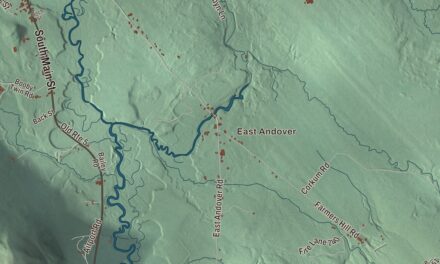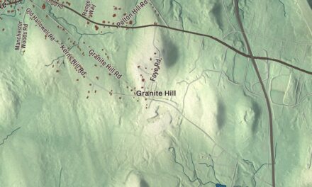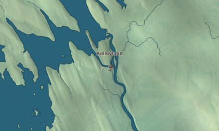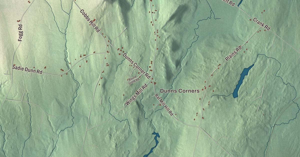
Pond Road and Belgrade Road thread through Mount Vernon on this map, with Parker Pond, Long Pond and Torsey Lake around them. Click here to purchase a print of this map for your wall.
Mount Vernon is a town in Kennebec County.
KNOWOL made this map in 2026 from public survey records, United States Geological Survey elevation data and Census Bureau files. Its atlas layout brings together Mount Vernon’s roads, buildings, ponds and waterways, and terrain, the town boundary and the pattern of buildings.
Named for Washington’s estate
Mount Vernon was incorporated on June 28, 1792, and named for George Washington’s Virginia estate. Water covers 5.52 of its 43.42 square miles, and the town is a popular recreation spot in central Maine: its northern part belongs to the Belgrade Lakes Region and its southern part to the Winthrop Lakes Region. The 2020 census counted 1,721 residents.
Parker Pond lies in four towns, Fayette, Mount Vernon, Chesterville and Vienna. Relatively undeveloped and one of the major bodies of water in the Winthrop Lakes Region, it’s 76 feet deep and covers about 2.5 square miles.
Two lawmakers from Mount Vernon
Moses Sherburne was born here in 1808. He practiced law in Phillips, served in the Maine legislature and as a probate judge in Franklin County, and in 1853 President Franklin Pierce appointed him to the Minnesota Territorial Supreme Court. Sherburne County, Minnesota, is named after him. John Hovey Rice was born in Mount Vernon in 1816, when Maine was still part of Massachusetts. He served as an aide-de-camp in the Aroostook War of 1838 and represented Maine in Congress as a Republican from 1861 to 1867.
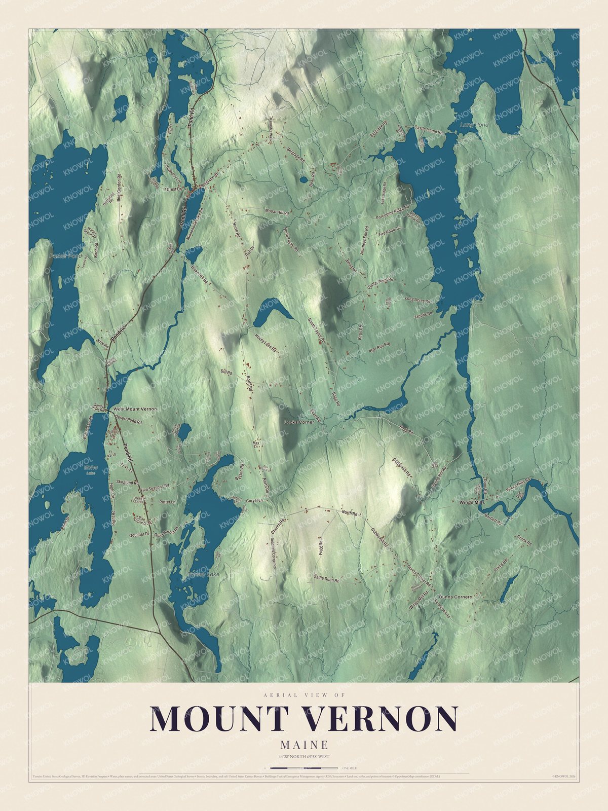
Click to explore a larger preview. The digital watermark does not appear on printed maps.
See it on a wall
The Mount Vernon map as a framed print. Swipe for more.


Explore the Mount Vernon map
Start with Dunns Corners and Locks Corner, then follow Pond Road, Birch Road, Blake Hill Road, North Taylor Road, Hovey Luce Road and Belgrade Road across town. Those are printed names, and West Mount Vernon and Wings Mills are farther out.
Long Pond, Parker Pond and Torsey Lake are labeled too. Follow the shorelines and compare the camps and homes along the water with the farms and woods between the lakes.
For people who call Mount Vernon home, this map shows the town as it looks today. Put it in your office, library, or den, or use it to teach children the geography and history of the area. Zoom in on the preview above to explore the details, then click here to get your copy of the Mount Vernon, Maine map.

Sources