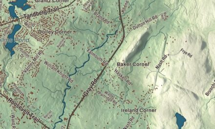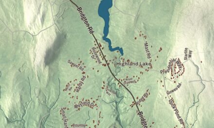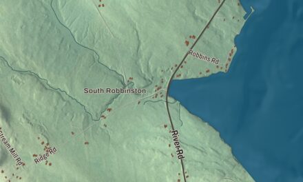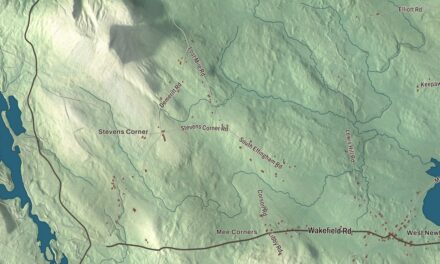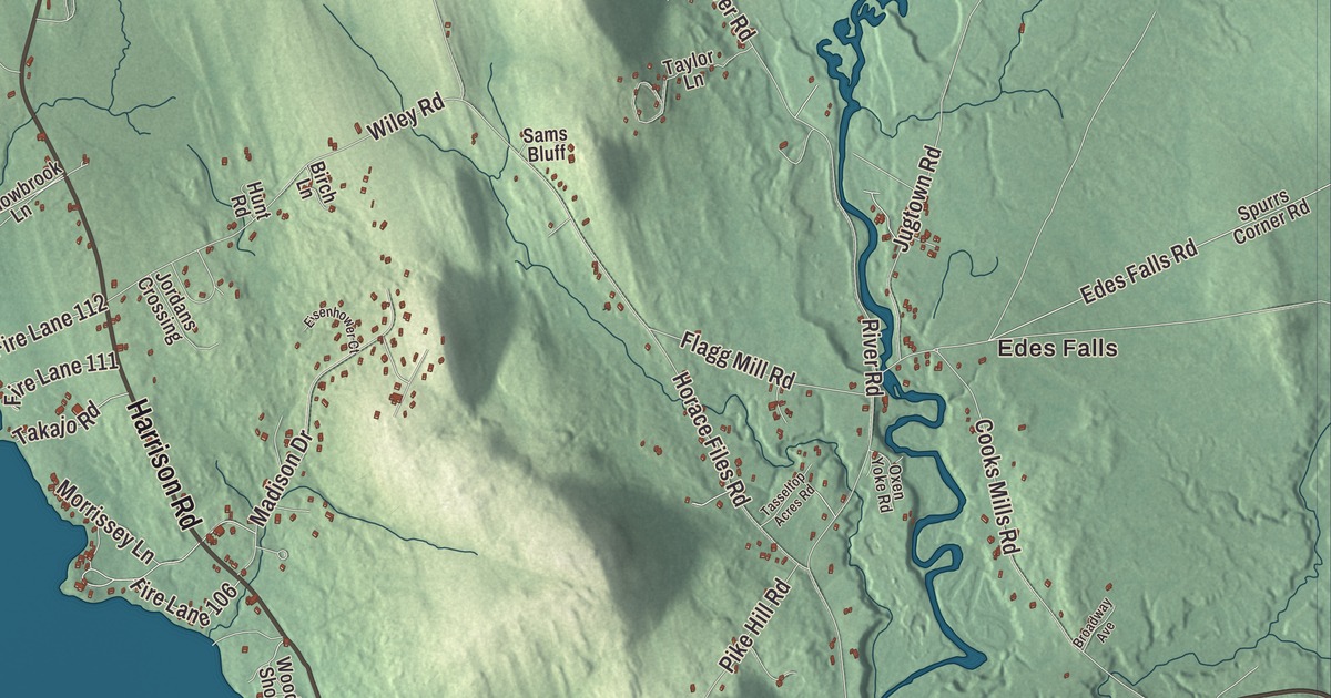
Roosevelt Trail, Casco Road and Sebago Road lead across this map of Naples, a town set among Sebago Lake, Long Lake, Brandy Pond and Trickey Pond. Click here to purchase a print of this map for your wall.
Naples is a town in Cumberland County.
KNOWOL made this map in 2026 from public survey records, United States Geological Survey elevation data and Census Bureau files. Its atlas layout brings together Naples’s roads, buildings, ponds and waterways, and terrain, the town boundary and the pattern of buildings.
Settled in 1774, named for Italy
The Naples area was settled in 1774, and the town was incorporated on March 4, 1834, from parts of Otisfield, Harrison, Raymond and Bridgton, taking its name from Naples, Italy. Between 1845 and 1856 it annexed more land from Sebago, Otisfield and Bridgton. Farming was limited by gravelly soil strewn with glacial boulders, but the uplands made good grazing, and hay became the principal crop. A canning factory and a cooperage worked in Naples village, and the town also made carriages, clothing, boots and shoes.
Songo Lock was built for the Cumberland and Oxford Canal a few years before the town was incorporated. It linked Long Lake and Brandy Pond with Sebago Lake, allowing boats to pass from Harrison to Portland. It’s the last surviving lock of the canal, enlarged in 1911, and it’s now used mostly by pleasure boats in summer at the north end of Sebago Lake State Park. The lock is on the National Register of Historic Places.
A lake resort
The lakes made tourism the main industry, and Henry Wadsworth Longfellow and Nathaniel Hawthorne were among the 19th-century visitors. Charles L. Goodridge of the Sebago Lake, Songo River & Bay of Naples Steamship Company built the Bay of Naples Inn on a knoll at the south end of Long Lake, and it opened on July 26, 1899, with 80 bedrooms. John Calvin Stevens designed it. The inn was a popular resort in the early 20th century, stayed open through the 1951 season, and was razed in 1964.
Automobile tourists began arriving after the Theodore Roosevelt International Highway was designated in 1919, and the route has been US Route 302 since 1935. Sebago Lake State Park, which opened in 1938 as one of Maine’s original five state parks, lies partly in Naples.
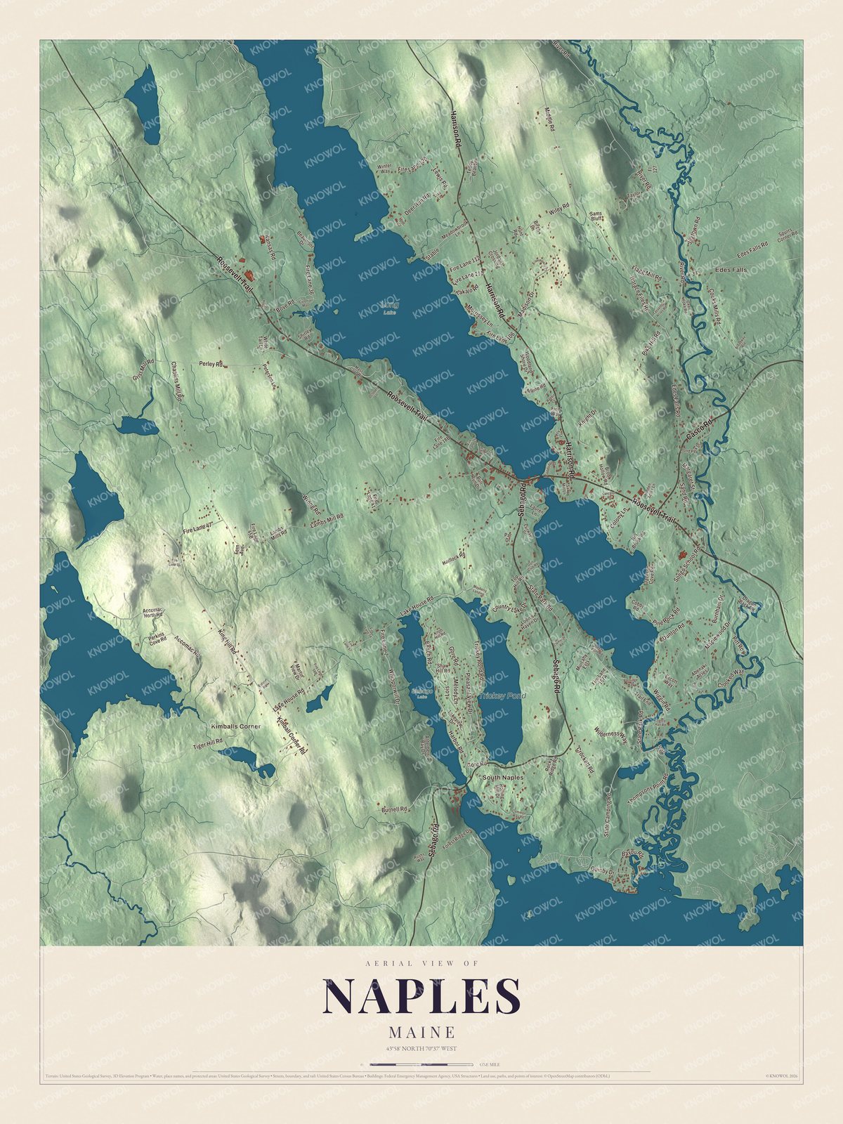
Click to explore a larger preview. The digital watermark does not appear on printed maps.
See it on a wall
The Naples map as a framed print. Swipe for more.


Explore the Naples map
Start with Edes Falls and South Naples, then follow Roosevelt Trail, Harrison Road, Sebago Road, Casco Road, River Road and Lake House Road across town. Those are printed names, and Kimballs Corner is farther out.
Trickey Pond is labeled on the map. The Songo River drains the town, running 3.1 miles from Brandy Pond into Sebago Lake. Trace the water from lake to lake and compare the shoreline cottages with the woods inland.
For people who call Naples home, this map shows the town as it looks today. Put it in your office, library, or den, or use it to teach children the geography and history of the area. Zoom in on the preview above to explore the details, then click here to get your copy of the Naples, Maine map.

Sources