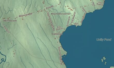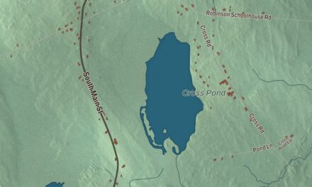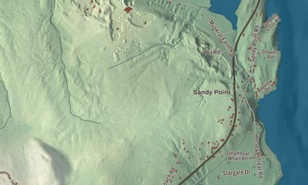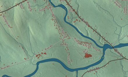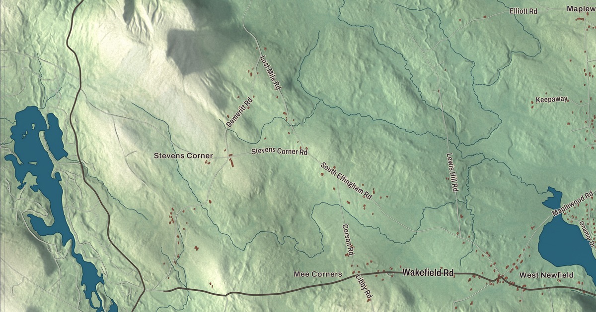
Water Street, Wakefield Road and Acton Ridge Road cross this map of Newfield, between Shapleigh Pond, Silver Lake and Rock Haven Lake. Click here to purchase a print of this map for your wall.
Newfield is a town in York County.
KNOWOL made this map in 2026 from public survey records, United States Geological Survey elevation data and Census Bureau files. Its atlas layout brings together Newfield’s roads, buildings, ponds and waterways, and terrain, the town boundary and the pattern of buildings.
Washington Plantation
Newfield’s land was part of a large tract sold in 1668 by the Newichawannock chief Sunday, also called Wesumbe, to Francis Small, a trader from Kittery. The township was surveyed and first settled as Washington Plantation in 1778, and a number of its settlers had been soldiers in the Revolutionary War. It was incorporated as Newfield on February 25, 1794, and by 1859 it had 1,418 people.
The Little Ossipee River runs through Newfield village, and its water once powered two gristmills, two lumber mills, a barrel stave mill, a shook mill, a planing mill and a carding mill; West Newfield had its own sawmill, gristmill and stave mill. The town tried mining silver and iron, but it wasn’t profitable. The river rises at Balch Pond in Newfield, passes through Shapleigh Pond and forms part of the line with Shapleigh before it comes back into town. Province Mountain, at 1,176 feet, is the highest point.
Willowbrook
North of the town center, around a mill pond on Chellis Brook, lies what was once the historic center of Newfield. Don King of Topsfield, Massachusetts, bought an old farm here in 1965, then bought the properties around the pond and restored their buildings, and Willowbrook Museum Village opened on May 1, 1970, with 34 buildings on about 10 acres. Among them was the Amos Straw Country Store, a Greek Revival store of the 1850s with a meeting hall upstairs. The museum closed for good on October 10, 2016, and much of the property is listed on the National Register as the Newfield (Willowbrook) Historic District.
The astronomer Horace Parnell Tuttle was born in Newfield. He discovered or co-discovered many comets, among them 55P/Tempel-Tuttle and 109P/Swift-Tuttle, the parent bodies of the Leonid and Perseid meteor showers. Nathan Clifford opened his first law practice in Newfield and met his wife, Hannah Ayer, here; he later served as U.S. Attorney General and as an associate justice of the U.S. Supreme Court from 1858 to 1881.
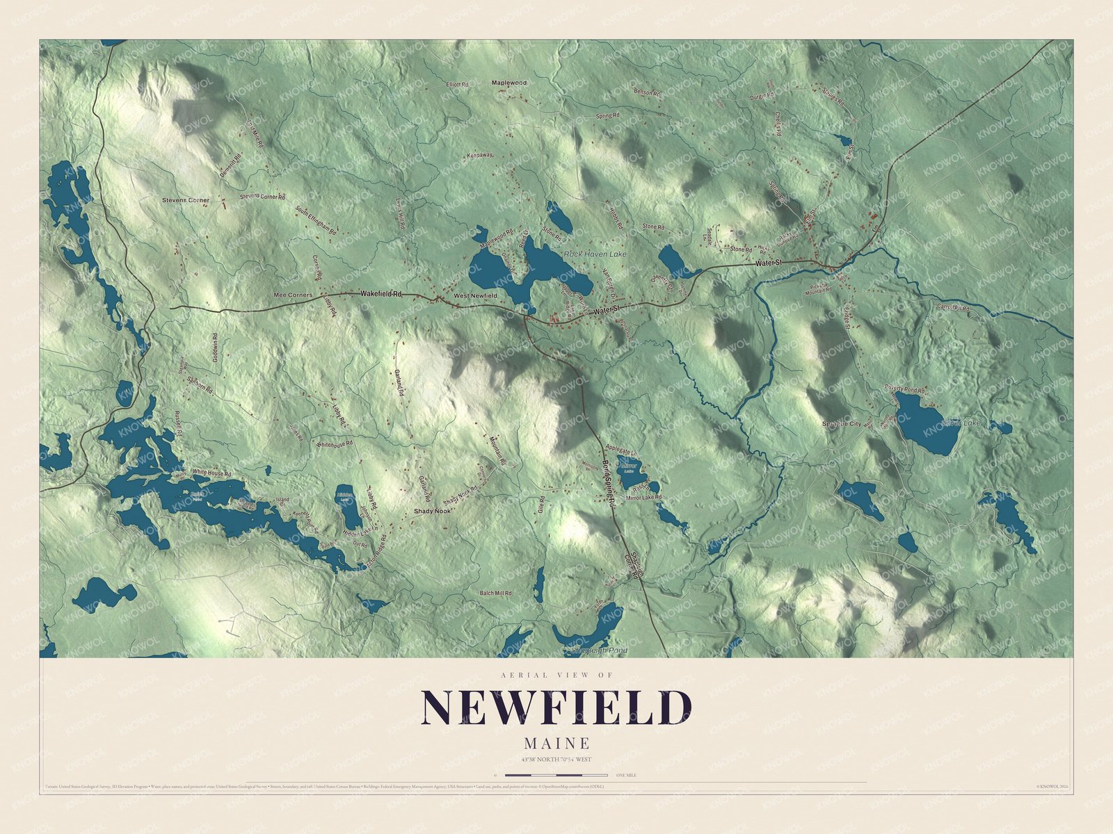
Click to explore a larger preview. The digital watermark does not appear on printed maps.
See it on a wall
The Newfield map as a framed print. Swipe for more.


Explore the Newfield map
Start with Stevens Corner and Sprague City, then follow Bond Spring Road, Water Street, Wakefield Road, Acton Ridge Road, Garland Road and Whitehouse Road across town. Those are printed names, and Mee Corners, Maplewood, Shady Nook and West Newfield sit farther out.
Rock Haven Lake, Silver Lake and Shapleigh Pond are labeled as well. Trace the Little Ossipee River from Shapleigh Pond toward the village, where the mills once worked, and compare the lakeshore buildings with the woods on the hills.
For people who call Newfield home, this map shows the town as it looks today. Put it in your office, library, or den, or use it to teach children the geography and history of the area. Zoom in on the preview above to explore the details, then click here to get your copy of the Newfield, Maine map.

Sources