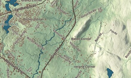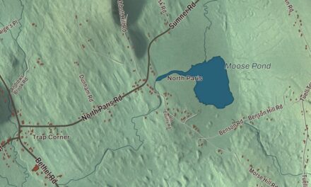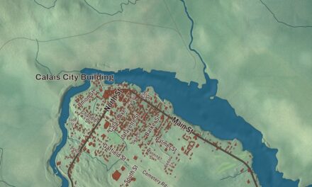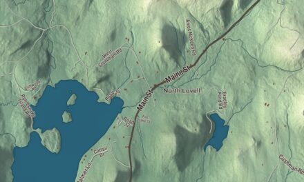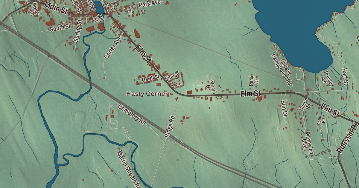
Newport’s town line wraps around all of Sebasticook Lake, and this map sets the lake among Moosehead Trail, Main Street, Elm Street and North Newport. Click here to purchase a print of this map for your wall.
Newport is a town in Penobscot County.
KNOWOL made this map in 2026 from public survey records, United States Geological Survey elevation data and Census Bureau files. Its atlas layout brings together Newport’s roads, buildings, ponds and waterways, and terrain, the town boundary and the pattern of buildings.
East Pond Plantation
Newport was settled around 1808 as East Pond Plantation and incorporated on June 14, 1814. Farming was a principal early occupation, and early industries included several sawmills, a gristmill, a foundry, a cabinet shop and a number of harness and blacksmith shops. By 1859 Newport was an important producer of carriages, praised as “not excelled by any in the state.” The Maine Central Railroad made Newport the end of its Dexter & Newport line, which opened in 1868, and by 1880 the town had a marble, granite and slate works and a maker of boots and shoes.
A woolen mill was built in 1891, the same year the Aroostook Condensed Milk Company was founded; it became the Maine Condensed Milk Company in 1894 and Borden’s Condensed Milk Company in 1902. In 1936 Newport was one of the towns to have a Movie Queen filmed in it, a half-hour silent film shot in black and white on 16 mm film to show the town’s shops and economy. The film now lives in the Northeast Historic Film repository and belongs to the Newport Historical Committee.
Sebasticook Lake
Sebasticook Lake lies entirely within Newport, and it’s the largest lake contained in one town in Maine. The East Branch Sebasticook River flows 12 miles into its north end from Lake Wassookeag in Dexter, and the Dexter and Newport Railroad ran along its western shore. Under the water near the mouth of one tributary are the Sebasticook Lake fishweirs, rows of wooden stakes sharpened with stone axes, with radiocarbon dates as far back as 3000 BCE. They’re one of the oldest structures of their kind in North America and the only one in eastern North America that has been directly dated.
In the village, at Spring and Railroad Streets, the Hexagon Barn of about 1850 is believed to be the only building of its type in Maine. At North Newport, the church Abiah Steward built in 1857 was raised for two congregations to share. Lewis O. Barrows, born in Newport in 1893, was the town’s treasurer for twelve years and went on to become governor of Maine. Cooper Flagg, born in Newport, began high school at Nokomis Regional High School here before going on to the NBA, and the Route 2 bridge over the Sebasticook River in Newport was dedicated in 2011 to Donald Sidney Skidgel, a Medal of Honor recipient for his actions in the Vietnam War.
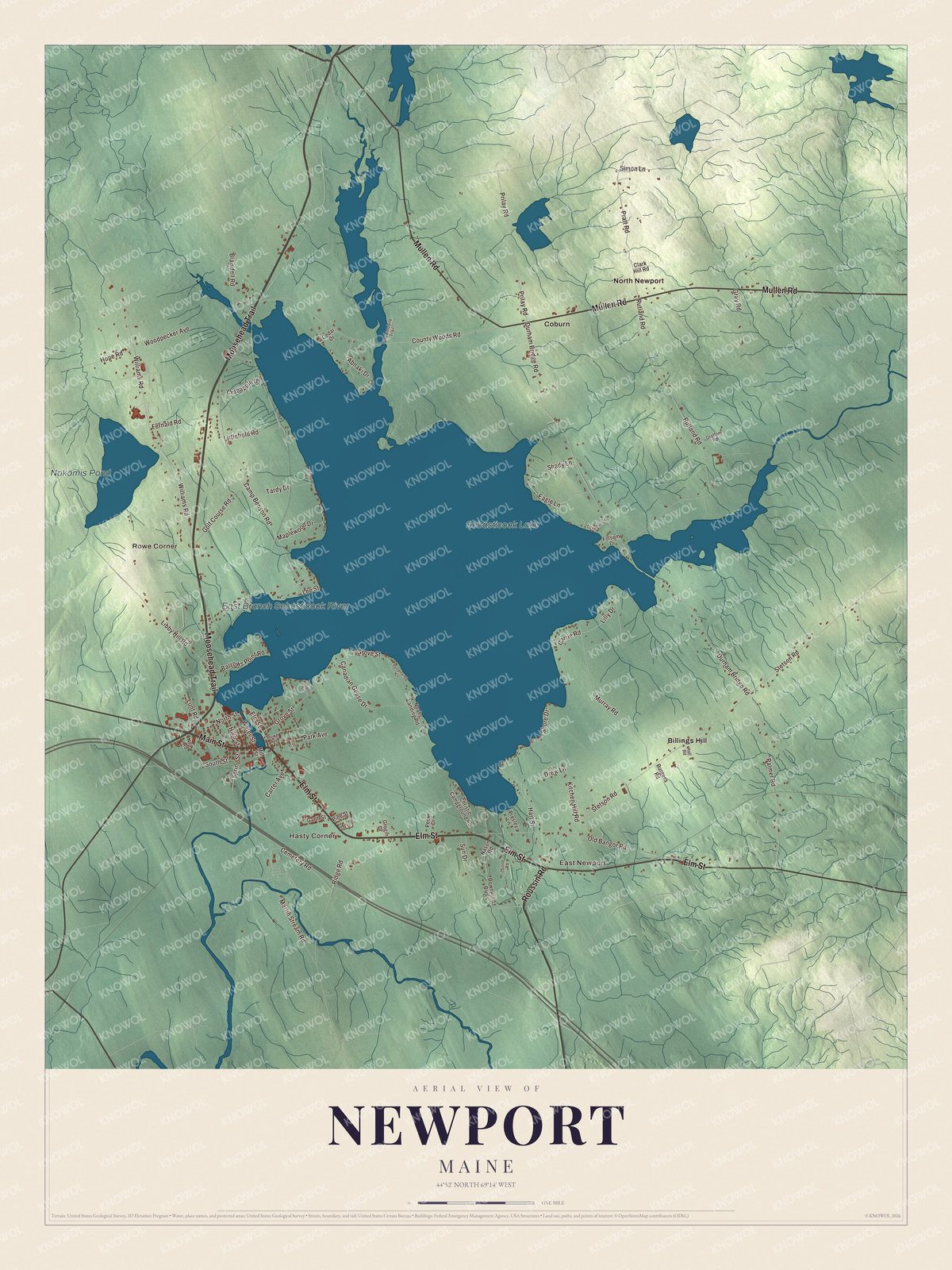
Click to explore a larger preview. The digital watermark does not appear on printed maps.
See it on a wall
The Newport map as a framed print. Swipe for more.


Explore the Newport map
Start with Hasty Corner and East Newport, then follow Moosehead Trail, Main Street, Mullen Road, Elm Street, Roussin Road and Lilly Drive across town. Those are printed names, and Rowe Corner, Billings Hill, Coburn and North Newport sit farther out.
Sebasticook Lake, Nokomis Pond and the East Branch Sebasticook River are labeled as well. Follow the East Branch down to the north end of the lake, then trace the western shore, where the railroad to Dexter once ran.
For people who call Newport home, this map shows the town as it looks today. Put it in your office, library, or den, or use it to teach children the geography and history of the area. Zoom in on the preview above to explore the details, then click here to get your copy of the Newport, Maine map.

Sources