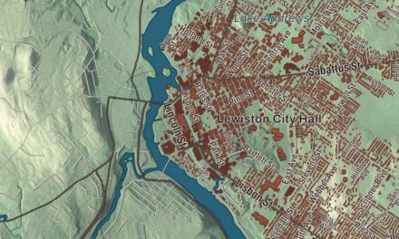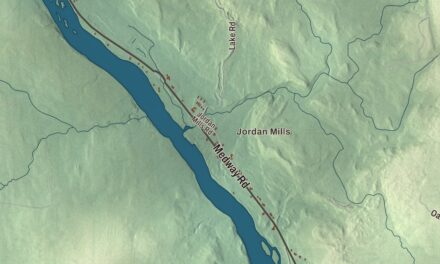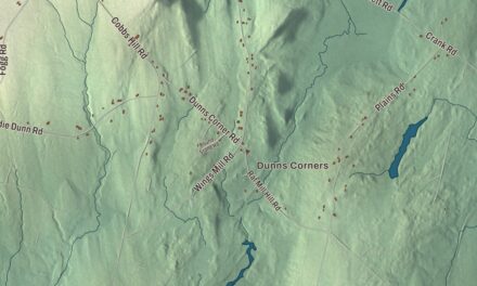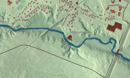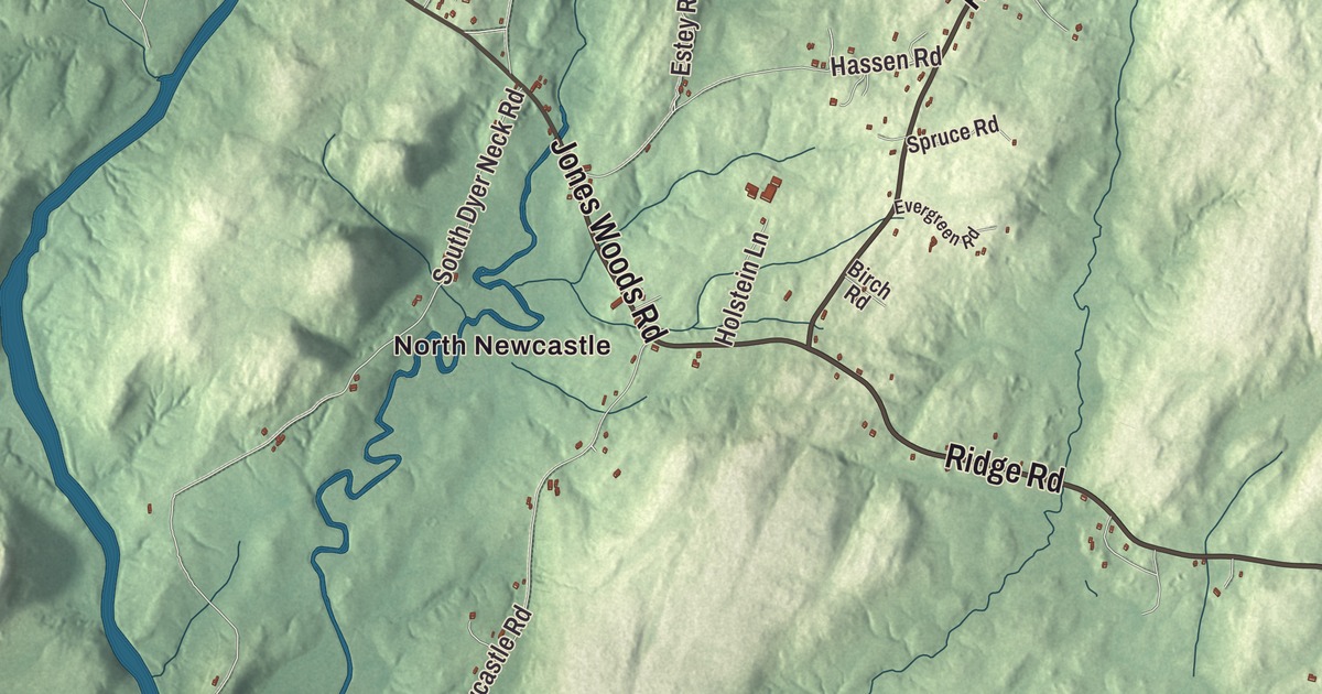
Atlantic Highway, Pond Road and Sherman Lake belong on any map of Newcastle, and this one also takes in Sheepscot, North Newcastle and South Newcastle. Click here to purchase a print of this map for your wall.
Newcastle is a town in Lincoln County.
KNOWOL made this map in 2026 from public survey records, United States Geological Survey elevation data and Census Bureau files. Its atlas layout brings together Newcastle’s roads, buildings, ponds and waterways, and terrain, the town boundary and the pattern of buildings.
Sheepscot Plantation
Newcastle began as Sheepscot Plantation, one of the earliest European settlements in Maine, started in the 1630s by fishermen and about 50 families. During the colonial wars the settlement was destroyed and abandoned more than once, and the area stayed largely empty for about 40 years until Colonel David Dunbar led a new settlement in 1730. He named it Newcastle for Thomas Pelham-Holles, the Duke of Newcastle. It became a district on June 19, 1753, and a full town on August 23, 1775, which let it send representatives to the Massachusetts General Court.
The village of Sheepscot, on the Sheepscot River at the Alna line, is now a National Register historic district. Its closely spaced houses line The King’s Highway, one of Maine’s oldest roads, and the first bridge over the Sheepscot was built there in 1794.
Ships, churches and a governor
Ships were built on the Damariscotta River for 150 years, from as early as 1770 until 1920, and more than 32 shipyards have been documented, most of them on the upper river. William T. Glidden, born in Newcastle in 1805, went to sea at 14 and was a captain by 21, and he became a partner in the clipper ship firm Glidden & Williams. In 1845 he built the brick Glidden-Austin Block at 52 Main Street, and his family gave the land for St. Andrew’s Church, built in 1883 as the first American design of the English architect Henry Vaughan.
Near Damariscotta Mills, two Irish immigrants, James Kavanagh and Matthew Cottrill, paid for St. Patrick’s Catholic Church, built in 1807 of brick hauled across the frozen Damariscotta River, with lime for the mortar brought from Ireland. It’s the oldest surviving Roman Catholic church in New England, and it has a bell cast by Paul Revere & Sons. Its designer, the Irish housewright Nicholas Codd, also built the Kavanagh house of 1803 between Pond Road and Damariscotta Lake, one of Maine’s most sophisticated examples of Federal architecture. James Kavanagh’s son Edward, born in Newcastle in 1795, was the first Catholic elected to Congress from New England and served as governor of Maine in 1843 and 1844.
Frances Perkins’s true home
Frances Perkins, the first woman to hold a position in the U.S. Cabinet, spent childhood summers with her grandmother at the Perkins family homestead on River Road and lived there later in life. She always considered it her “true home.” As Secretary of Labor under Franklin D. Roosevelt, she helped shape Social Security, the minimum wage and the laws against child labor. The 57-acre saltwater farm, with its 1837 brick farmhouse, became the Frances Perkins National Monument in December 2024.
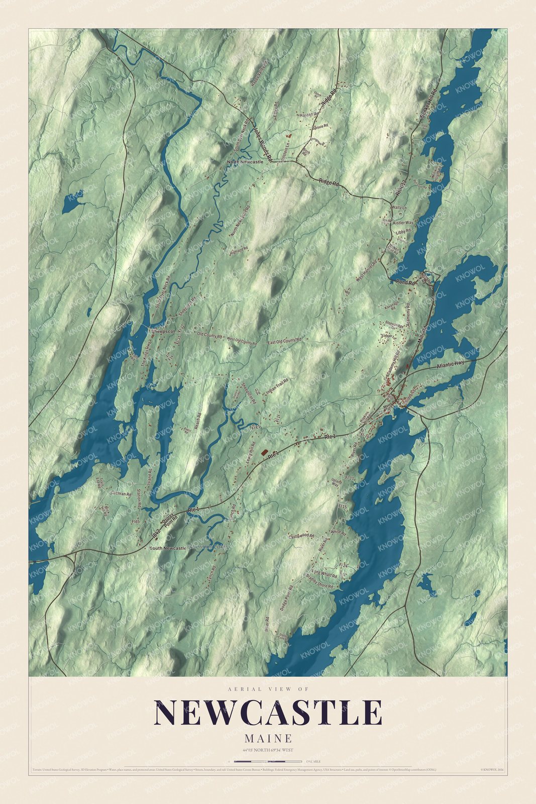
Click to explore a larger preview. The digital watermark does not appear on printed maps.
See it on a wall
The Newcastle map as a framed print. Swipe for more.


Explore the Newcastle map
Start with North Newcastle and Sheepscot, then follow Pond Road, Mills Road, Jones Woods Road, Ridge Road, Bunker Hill Road and Atlantic Highway across town. Those are printed names, and South Newcastle sits farther out.
Sherman Lake is labeled as well. Follow Pond Road toward Damariscotta Lake, past the Kavanagh house, then trace the Damariscotta River on the east side of town, where the village and the old shipyards stood.
For people who call Newcastle home, this map shows the town as it looks today. Put it in your office, library, or den, or use it to teach children the geography and history of the area. Zoom in on the preview above to explore the details, then click here to get your copy of the Newcastle, Maine map.

Sources
- Newcastle, Maine, Wikipedia
- Sheepscot Historic District, Wikipedia
- William T. Glidden, Wikipedia
- Glidden-Austin Block, Wikipedia
- St. Andrew's Church (Newcastle, Maine), Wikipedia
- St. Patrick's Catholic Church (Newcastle, Maine), Wikipedia
- Gov. Edward Kavanaugh House, Wikipedia
- Edward Kavanagh, Wikipedia
- Frances Perkins Homestead, Wikipedia