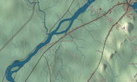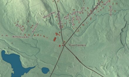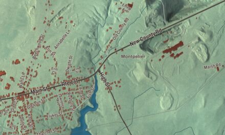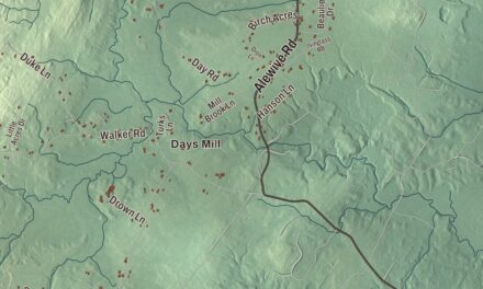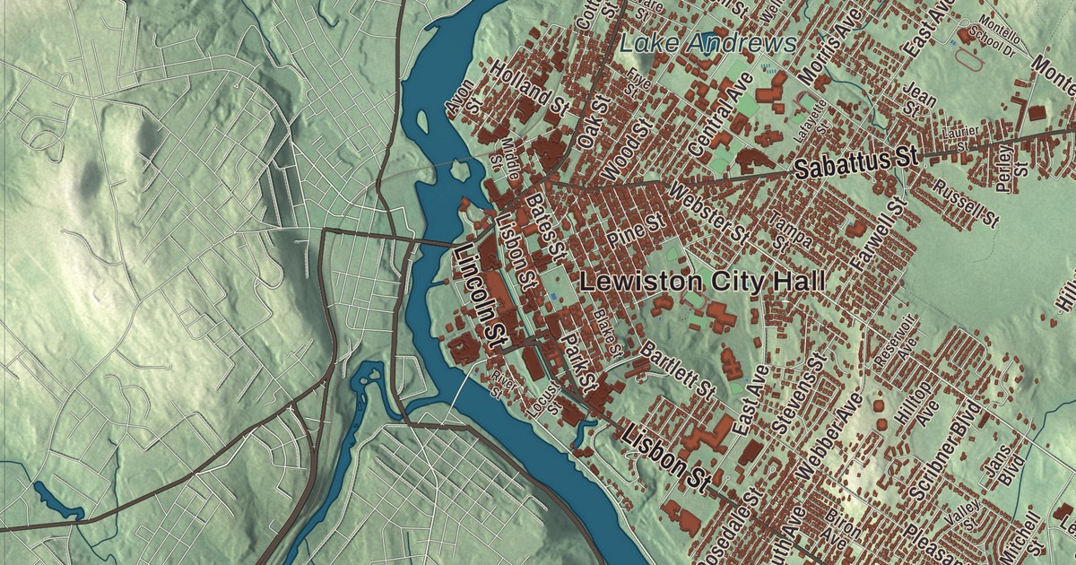
Lewiston City Hall, Lisbon Street and Lake Andrews give you different places to begin exploring Lewiston. Find Foggs Corner and the streets you know, then look over the city in this aerial view. Click here to purchase a print of this map for your wall.
Lewiston is a city in Androscoggin County.
KNOWOL made this map in 2026 from public survey records, United States Geological Survey elevation data and Census Bureau files. Its atlas layout brings together Lewiston’s streets, buildings, neighborhoods, ponds and waterways, and terrain, the city boundary and the pattern of buildings.
A town, then a city
Lewiston incorporated as a town in 1795 and became a city in 1863. The Androscoggin River supplied water power for its textile industry, and canals carried that power to the mills.
The Bates Mill was completed in 1852. Its workforce included Irish immigrants, French Canadians and local workers. During the Civil War, it produced textiles for the Union Army.
The Maine State Seminary opened in 1855, educating women and Black students along with other students from Maine. It later became Bates College, named for early supporter Benjamin Bates.
The city hall
Lewiston City Hall stands at Pine and Park Streets. Boston architect John Calvin Spofford designed the present building, dedicated in 1892 after the earlier hall burned.
Brick and granite form the exterior, with an entrance recessed in a rounded arch. A central tower rises above the building, with a belfry and a curved roof. The hall joined the National Register of Historic Places in 1976.
Marsden Hartley
Artist, poet and essayist Marsden Hartley was born in Lewiston in 1877. He studied art in Cleveland and New York, and spent summers in Lewiston and western Maine during the early part of his career.
Alfred Stieglitz exhibited Hartley’s work in New York in 1909. Hartley later worked in Europe, Mexico and Maine, and published essays and poetry as well as creating visual art. In 2020, the Bates College Museum of Art partnered on a project to document his known works.
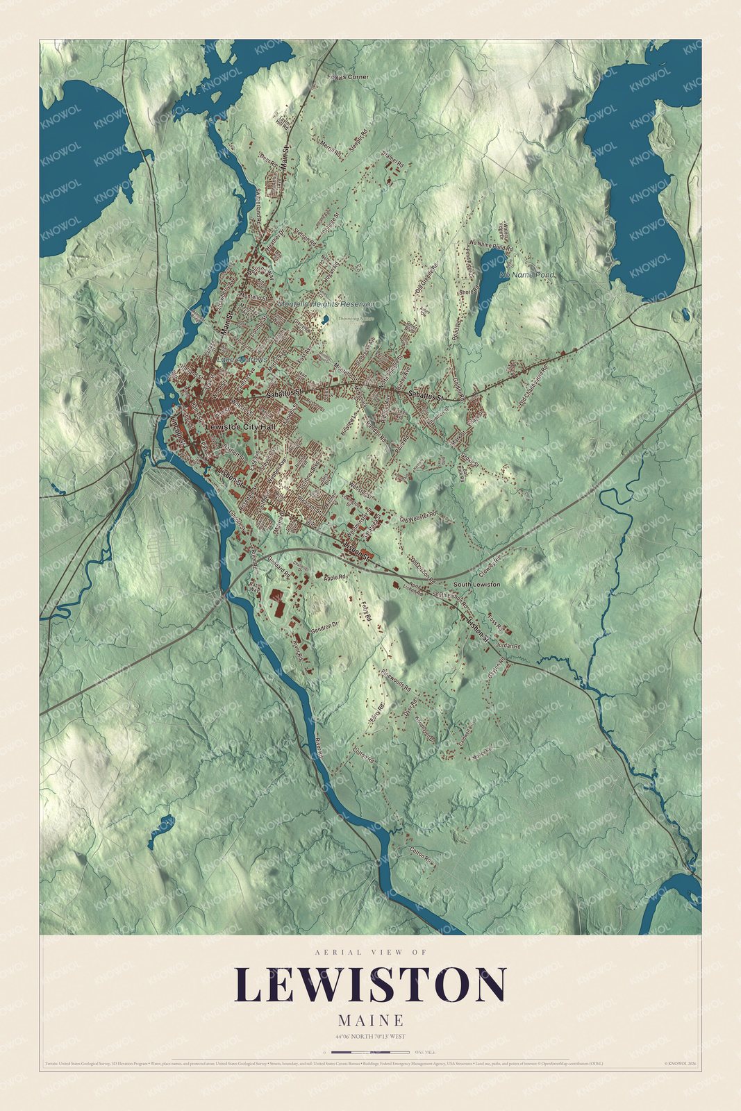
Click to explore a larger preview. The digital watermark does not appear on printed maps.
See it on a wall
The Lewiston map as a framed print. Swipe for more.


Explore the Lewiston map
Lewiston City Hall and Foggs Corner are printed on the artwork, along with South Lewiston. No Name Pond, Montello Heights Reservoir and Lake Andrews are labeled too.
Lincoln Street, Lisbon Street and Sabattus Street are printed roads. Main Street, River Road and Webster Street give you more names to locate. The city’s public library stands at Lisbon and Pine Streets.
This map shows Lewiston as it looks today, made for people who call Lewiston home. Hang it in your office, library, or den, or use it to teach children the geography and history of the area. Zoom in on the preview above to explore the details, then click here to get your copy of the Lewiston, Maine map.

Sources