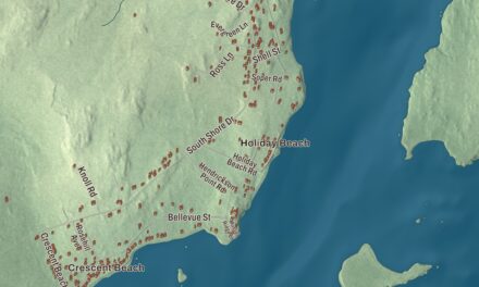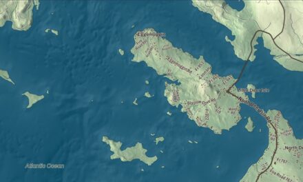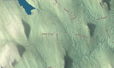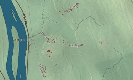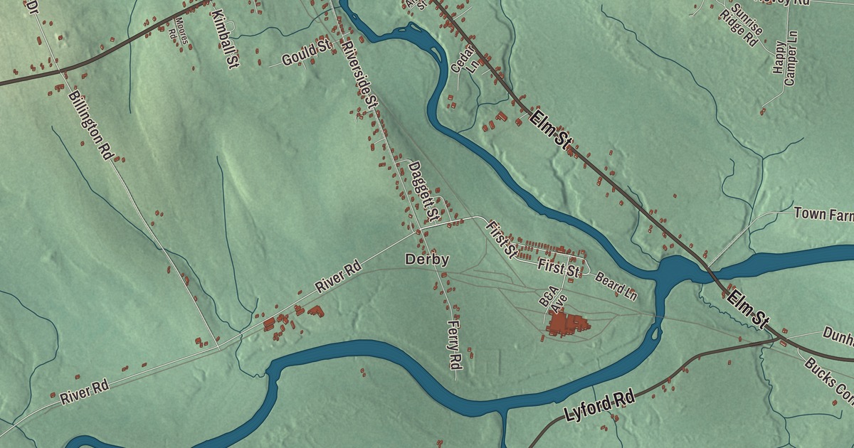
Derby, West Main Street and the Sebec River are part of everyday life in Milo, and this map shows them where the three rivers meet. Click here to purchase a print of this map for your wall.
Milo is a town in Piscataquis County.
KNOWOL made this map in 2026 from public survey records, United States Geological Survey elevation data and Census Bureau files. Its atlas layout brings together Milo’s streets, buildings, ponds and waterways, and terrain, the town boundary and the pattern of buildings.
The Town of Three Rivers
Milo lies where the Sebec River meets the Piscataquis, and the Pleasant River also runs within its lines, giving the town its nickname, the Town of Three Rivers. Benjamin Sargent and his son Theophilus came from Methuen, Massachusetts, and settled what was then Township Number 3 on May 2, 1802.
The town was incorporated on January 21, 1823, and named for Milo of Croton, an athlete from ancient Croton in Magna Graecia. That year Winborn A. Swett dammed a 14-foot drop in the river and built the first sawmill, and Thomas White soon added a carding and fulling mill. Trafton’s Falls supplied water power for early industry.
Derby and the railroad shops
After the Bangor and Piscataquis Railroad arrived, Milo grew into a small mill town. The Boston Excelsior Company built a factory in 1879, and the American Thread Company built one in 1901 and 1902.
Two early railroads met at Milo Junction, and after they merged into the Bangor and Aroostook, the junction became the company town of Derby, with the second largest railroad car shop and repair facility in New England. Derby grew to include stores and 72 identical employee houses in four rows along First and Second Streets, which the railroad sold in 1959.
Stories that started here
Elizabeth George Speare’s children’s novel The Sign of the Beaver grew from a true story recorded in a history of Milo, about a teenage boy left alone to keep his family’s cabin who was helped by local Native people after a bear ruined his supplies. The diary of Milo’s Sergeant William T. Livermore was one of the few surviving accounts behind the Little Round Top charge in Michael Shaara’s novel The Killer Angels, and a copy is kept at the Milo Historical Society.
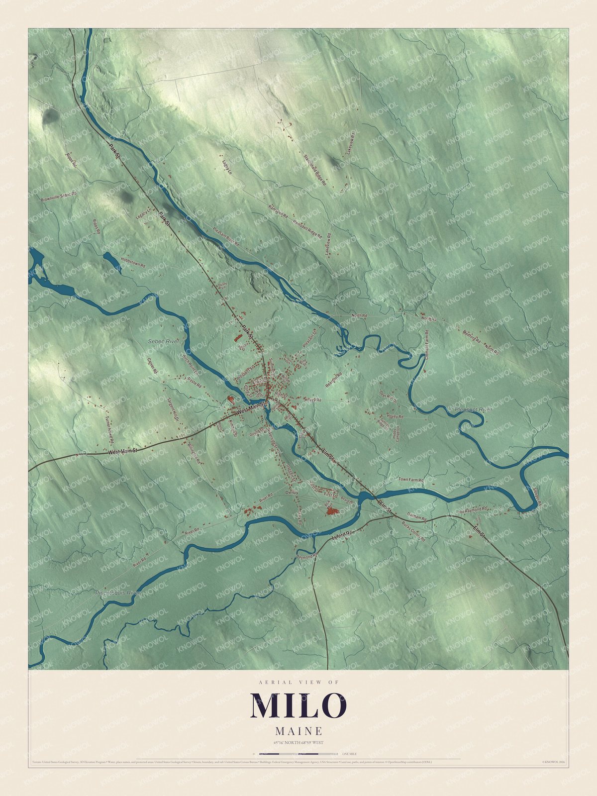
Click to explore a larger preview. The digital watermark does not appear on printed maps.
See it on a wall
The Milo map as a framed print. Swipe for more.


Explore the Milo map
Start with Derby, then follow West Main Street, Park Street, Elm Street, Lyford Road, High Street and First Street across town. Those are printed street names.
The Pleasant River, Piscataquis River and Sebec River are all labeled on the map. Trace where they meet and compare the village streets with the farms and woods around them.
For people who call Milo home, this map shows the town as it looks today. Put it in your office, library, or den, or use it to teach children the geography and history of the area. Zoom in on the preview above to explore the details, then click here to get your copy of the Milo, Maine map.

Sources