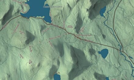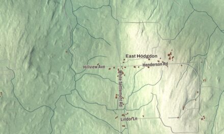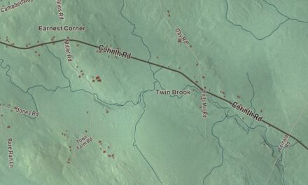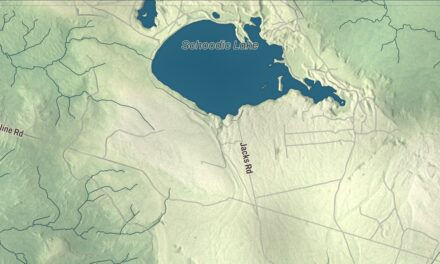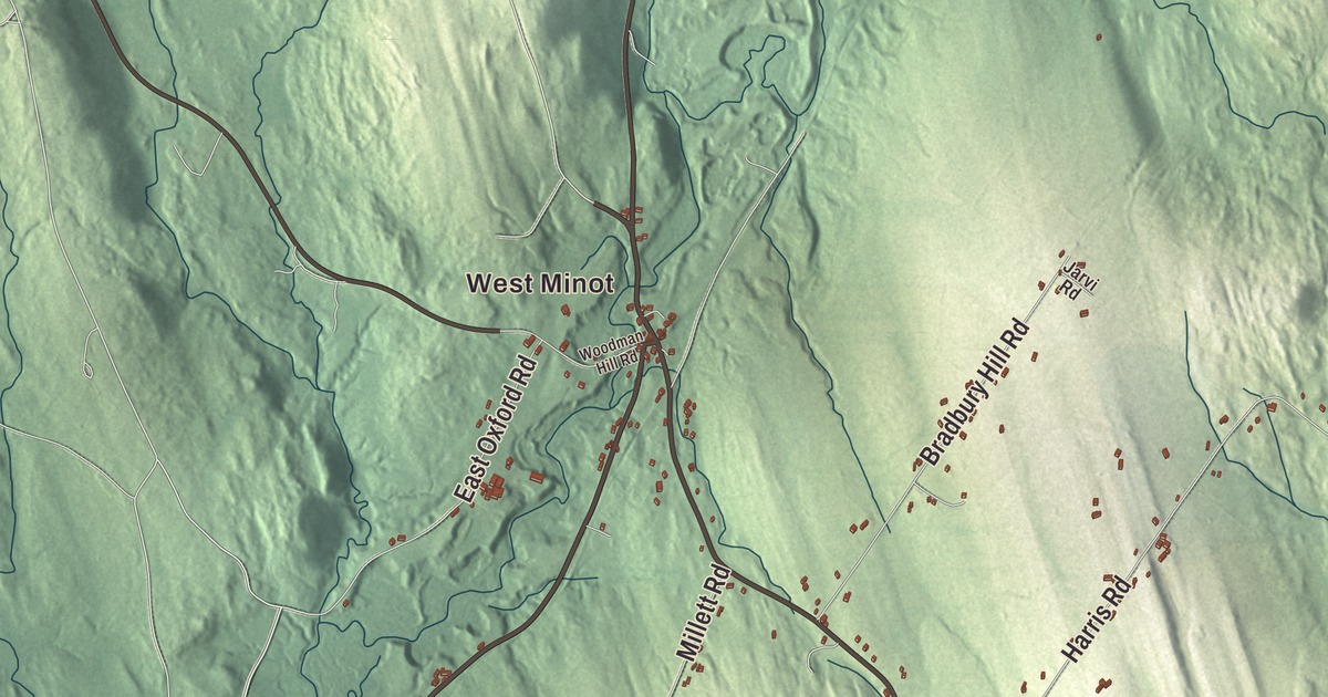
West Minot Road and Woodman Hill Road run through the hills many families here know well, and this map follows them across Minot. Click here to purchase a print of this map for your wall.
Minot is a town in Androscoggin County.
KNOWOL made this map in 2026 from public survey records, United States Geological Survey elevation data and Census Bureau files. Its atlas layout brings together Minot’s roads, buildings, ponds and waterways, and terrain, the town boundary and the pattern of buildings.
Set off from Poland in 1802
Minot was once part of Bakerstown Plantation, granted in 1765 by the Massachusetts General Court to Captain Thomas Baker and his company for their service at the 1690 Battle of Quebec. Bakerstown became Poland in 1795, and on February 18, 1802, Poland’s northeastern part was set off as Minot. The new town was named for George Richards Minot, a historian and judge of the General Court who had helped with its incorporation.
Moses Emery of Newbury, Massachusetts, was the first settler, in 1772, when several Anasagunticook people lived in the immediate area. Farming was the main early work on good soil among the hills, and mills at water power sites turned out lumber, clapboards, shingles, boxes and barrel staves. Leatherwork followed, especially boots, shoes, saddles and harnesses.
From Woodman Hill to California
Annie Wilkins was born in Minot in 1891 and grew up on the farm her grandfather started at Woodman Hill in West Minot. On November 8, 1954, at 63, she rode out of Minot with a former racehorse named Tarzan, a packhorse named Rex and her dog, and traveled more than 5,000 miles to California. She’s buried in the family plot at Maple Grove Cemetery in Minot. The poet Emma B. Dunham was also born in Minot, in 1826, and published her first poems before she was sixteen.
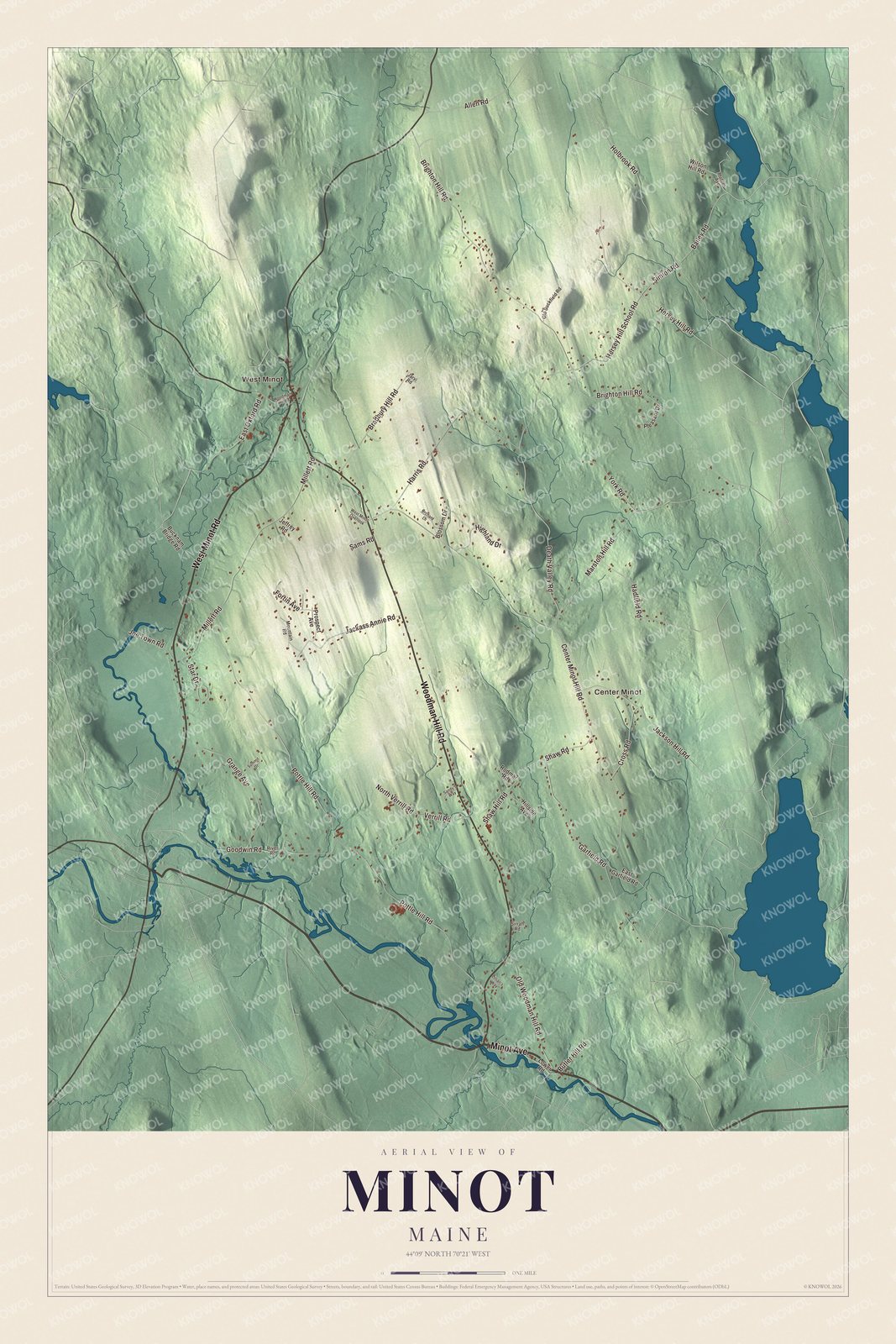
Click to explore a larger preview. The digital watermark does not appear on printed maps.
See it on a wall
The Minot map as a framed print. Swipe for more.


Explore the Minot map
Start with West Minot, then follow Minot Avenue, West Minot Road, Woodman Hill Road, Bailey Road, East Oxford Road and Marston Hill Road across town. Each of those names is printed on the artwork, and Center Minot is another place to find.
Compare the village clusters with the farms and woods between them. Enlarge the preview to find the road you grew up on.
For people who call Minot home, this map shows the town as it looks today. Put it in your office, library, or den, or use it to teach children the geography and history of the area. Zoom in on the preview above to explore the details, then click here to get your copy of the Minot, Maine map.

Sources