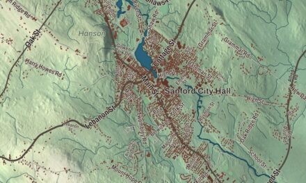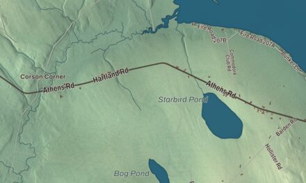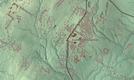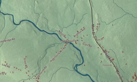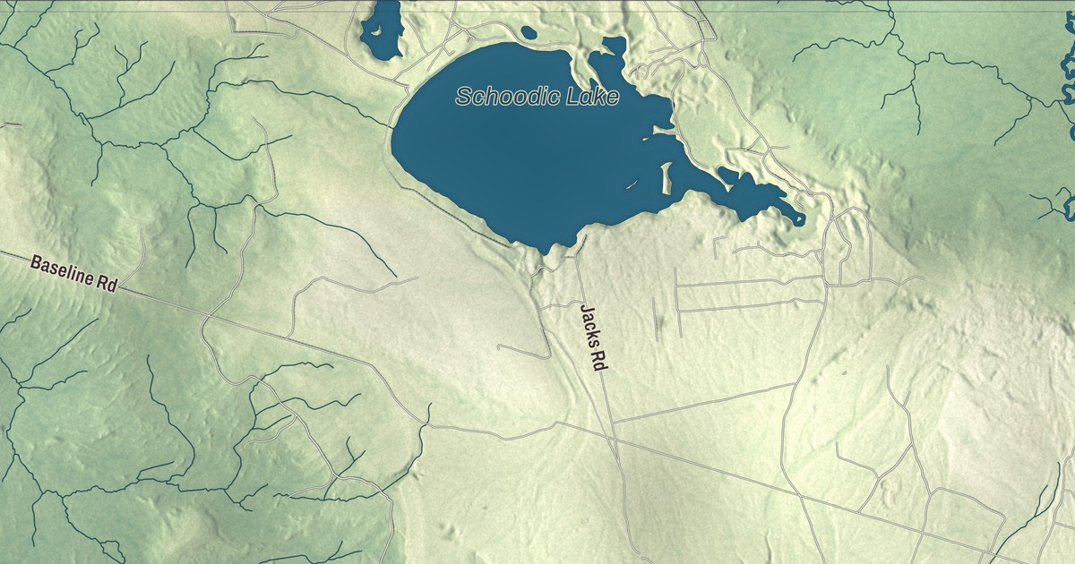
Main Street, Park Street and Milbridge Road are printed on this map of Cherryfield, Maine, and so are North Main Street, Willey District Road and Blacks Woods Road. Schoodic Lake and Downing Pond carry their names too. Click here to purchase a print of this map for your wall.
Cherryfield is a town in Washington County, with 1,107 people at the 2020 census.
KNOWOL made this map in 2026 from public survey data and gave it the look of an old atlas. The land is shaded from United States Geological Survey elevation data, and the roads and town line come from the Census Bureau, which counts 44.99 square miles in Cherryfield, 0.55 of them water. The Narraguagus River flows through the town.
Wild cherries and blueberries
Cherryfield was first settled about 1760 and is named for the wild cherries that once dotted the banks of the river. The town was incorporated on February 9, 1816, and in 1826 the part of Steuben called Narraguagus was added to the town. Today Cherryfield calls itself the “Blueberry Capital of the World.” The Narraguagus was once well known for fly fishing for Atlantic salmon, with anglers coming from far away for the Memorial Day weekend opening. Two breeding pairs of bald eagles make their home in the town.
General Alexander Campbell, born in Georgetown, Maine, in 1731, moved to Cherryfield sometime after 1768 and set up a successful lumber mill. He served in the militia at the Battle of Machias in 1777 and in the Penobscot Expedition of 1779, and he sat in the Massachusetts State Senate in the 1790s. His grandson, Colonel Samuel Campbell, ran lumber businesses in the Narraguagus valley and served on the Governor’s Council.
The historic village
About 75 acres on both sides of the river make up the Cherryfield Historic District, listed on the National Register of Historic Places in 1990. Its 52 contributing buildings are all wood-framed and date from about 1750 to 1890, and the district is known for its many Second Empire houses, a concentration described as notable for a small town. Park Street is printed on the map, and it’s one of the streets that bound the district.
Main Street is printed on the map. It’s State Route 193 here, and the Cherryfield Academy stands on its east side. The academy was founded as a private school in 1829, and its Greek Revival building went up in 1850 with town offices downstairs and classrooms above. The school closed in the 1960s, and the building now holds the town offices, the library and a community center. A short way north of Route 1 on Main Street is the Patten Building of 1865, where Frank Patten made and sold boots and shoes; it’s now owned by the local historical society. Farther up, at 122 Main Street, the Archibald-Adams House of about 1795 is one of the town’s oldest surviving buildings.
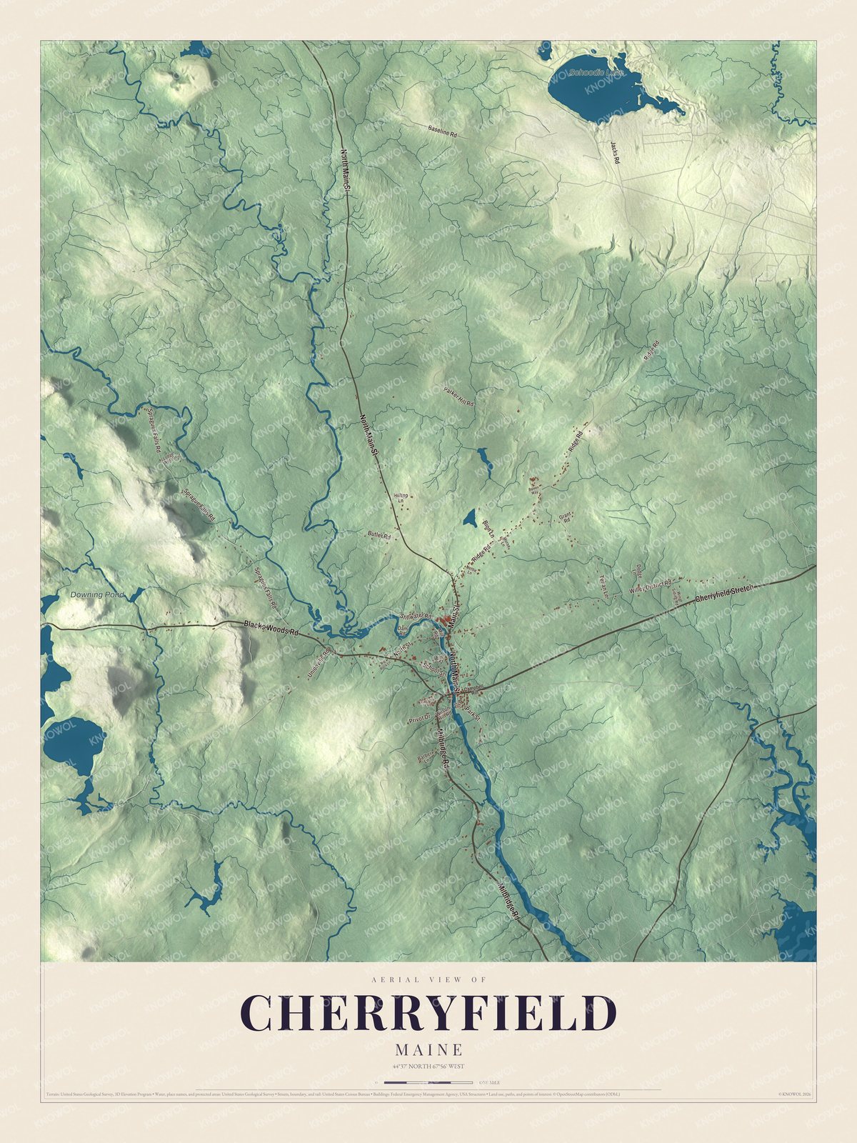
Click to explore a larger preview. The digital watermark does not appear on printed maps.
See it on a wall
The Cherryfield map as a framed print. Swipe for more.


Milbridge Road
Milbridge Road is printed on the map. It’s U.S. Route 1 through the east side of the village, and three Campbell houses stand along it. The General Alexander Campbell House, built in 1790 on the village’s highest point, is the oldest home in the village. Just west of it stands the Colonel Samuel Campbell House of 1883, one of the finest Queen Anne houses in eastern Maine. Across the road at New Street, the Frank Campbell House of 1875 has a mansard roof and a tower, designed by the Cherryfield architect Charles A. Allen.
Across the river on River Road is the William M. Nash House, a Cape that was remade as a Greek Revival house and then, in 1888, turned into an elaborate Second Empire house by the local architect William A. Allen. It’s the most elaborate of his known works.
Cherryfield’s notable people include Carlton Willey, who pitched in the major leagues for the Milwaukee Braves and the New York Mets, and Andy Santerre, who was a four-time champion of NASCAR’s Busch North Series. North Main Street, Willey District Road and Blacks Woods Road are printed on the map, and so are Schoodic Lake and Downing Pond.
This Cherryfield map makes a fine addition to an office, library or den, and it can help teach children the geography and history of the area. It’s made for everyone who calls Cherryfield home, from Main Street to Milbridge Road, as it looks today. Zoom in on the preview above to explore the details, then click here to get your copy of the Cherryfield, Maine map.

Sources
- Cherryfield, Maine, Wikipedia
- List of municipalities in Maine, Wikipedia
- Varney, A Gazetteer of the State of Maine (1886)
- Varney, A Gazetteer of the State of Maine (1886)
- Narraguagus River, Wikipedia
- Cherryfield Historic District, Wikipedia
- National Register of Historic Places listings in Washington County, Maine, Wikipedia
- Gen. Alexander Campbell House, Wikipedia
- Col. Samuel Campbell House, Wikipedia
- Frank Campbell House, Wikipedia
- Cherryfield Academy, Wikipedia
- Patten Building, Wikipedia
- Archibald-Adams House, Wikipedia
- William M. Nash House, Wikipedia
- Andy Santerre, Wikipedia