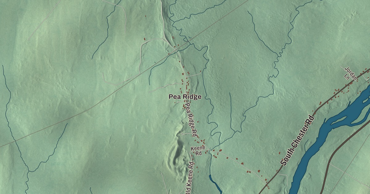
If you’re from Chester, you’ll find Pea Ridge and Pea Ridge Road on this map of Chester, Maine. South Chester Road, North Chester Road, Woodville Road, Loop Road and Twomey Road carry their names across the town as well. Click here to purchase a print of this map for your wall.
Chester is a town in Penobscot County, with 549 people at the 2020 census.
KNOWOL made this map in 2026 from public survey data, with the feel of an old county atlas. The hills are shaded from United States Geological Survey elevation data, and the roads and the town line come from the Census Bureau, which counts 45.83 square miles in Chester, all of it land.
A Penobscot County town
Chester was incorporated as a town on February 20, 1834, and it’s part of the Bangor metropolitan area today. Its listed elevation is 220 feet. Chester’s own page calls Pea Ridge the town’s cultural epicenter, which makes it a natural place to start on this print.
State Route 116 is the numbered road that reaches Chester. It starts at Old Town, follows the Penobscot River north, crosses the river south of Lincoln, and turns at the Mattamiscontis Road intersection toward Chester. Past Chester it keeps heading north toward Interstate 95 and ends at Medway, at Routes 11 and 157.
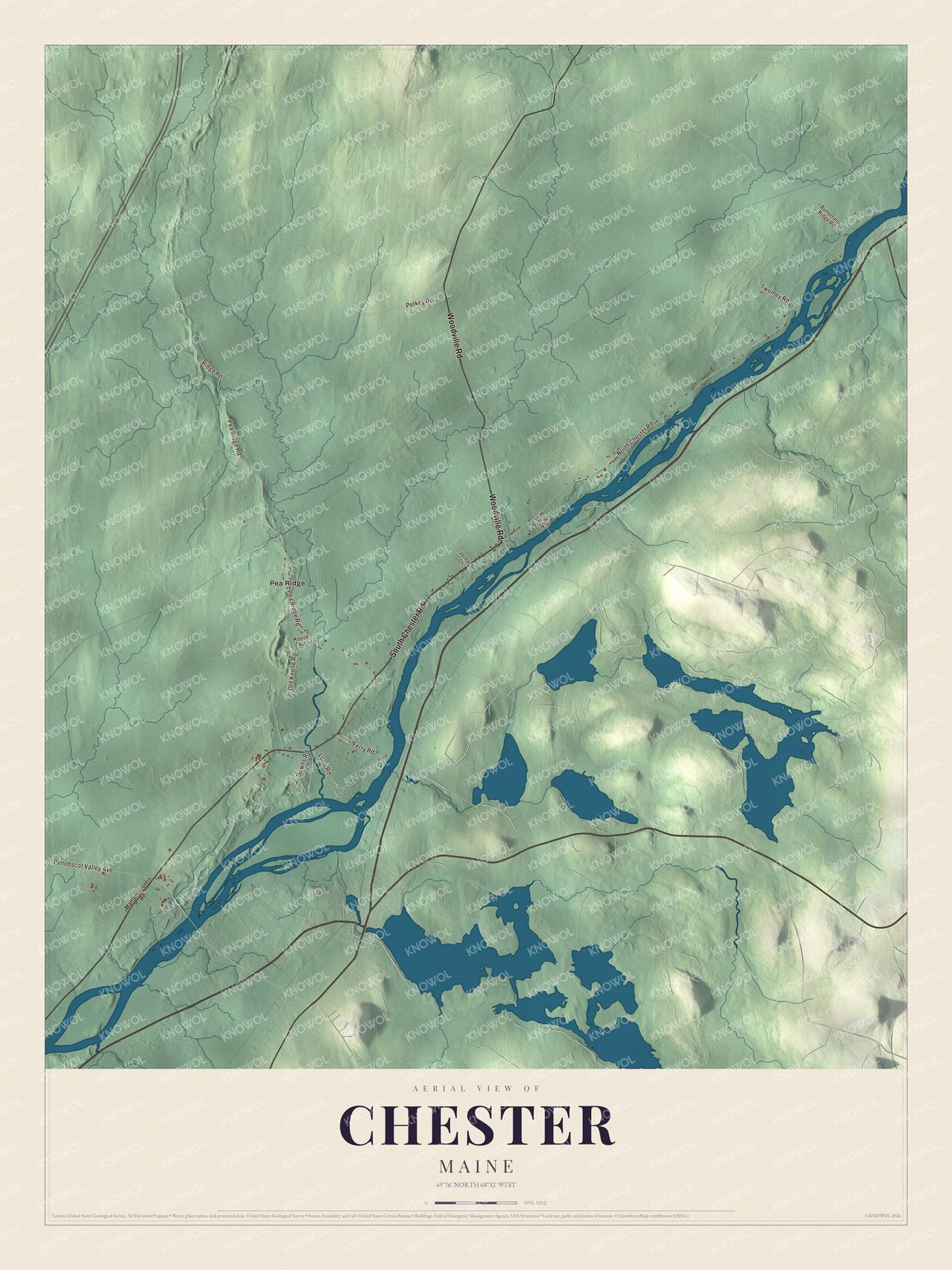
Click to explore a larger preview. The digital watermark does not appear on printed maps.
See it on a wall
The Chester map as a framed print. Swipe for more.


Finding your road
Pea Ridge is printed on the map, and so is Pea Ridge Road. South Chester Road and North Chester Road are printed too, along with Woodville Road, Loop Road and Twomey Road. The smaller lanes between them are drawn in too, and you can trace your own way home from any of those names.
This Chester map makes a good addition to an office, library or den, and it can help teach children the geography and history of the area. It’s made for everyone who calls Chester home, from Pea Ridge to Twomey Road, as it looks today. Zoom in on the preview above to explore the details, then click here to get your copy of the Chester, Maine map.

Sources