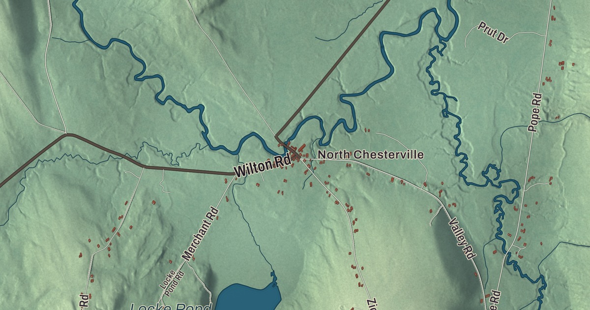
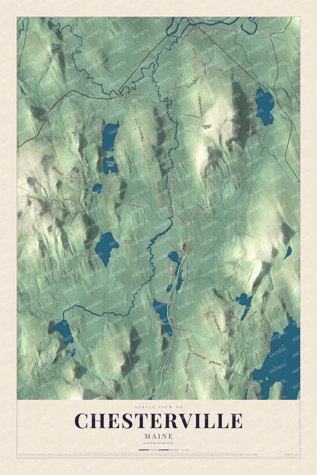
North Chesterville and Farmington Falls both sit on this map of Chesterville, Maine, and the roads between them carry their names: Chesterville Road, Vienna Road, Wilton Road, Valley Road, Pope Road and Soper Road. North Pond, Locke Pond and Norcross Pond are printed on the water. Click here to purchase a print of this map for your wall.
Chesterville is a town in Franklin County, with 1,328 people at the 2020 census.
This map was made by KNOWOL in 2026 from public survey data and styled after an old atlas page. United States Geological Survey elevation data shapes the hills, and the Census Bureau supplies the roads and the town line. The Bureau counts 37.55 square miles in Chesterville, 1.38 of them water.
Three villages
Chesterville was incorporated as a town in 1802, and by 1810 the census already counted 430 people here. The town has three villages: Chesterville itself, North Chesterville, and part of Farmington Falls. Its listed elevation is 361 feet.
Two Chesterville natives made their names in very different places. Hannah Elizabeth Bradbury was born here on March 3, 1827, studied at Farmington Academy, and became a teacher in Bangor and later principal of the Charlestown Female Seminary in Boston. Writing as H. B. G. and later as Mrs. H. B. Goodwin, she published novels including Sherbrooke, a story of New England life whose success was instant, and she spent the last 16 years of her life working with Wellesley College as a trustee. Samuel P. Morrill, born in Chesterville in 1816, was a minister who served Franklin County as register of deeds and went to Congress as a Republican from 1869 to 1871. He came home at the end of his life, died in Chesterville in 1892, and is buried in Chesterville Hill Cemetery. The Morrill Homestead, at 17 Lucy Knowles Road, was added to the National Register of Historic Places in 2022.
Click to explore a larger preview. The digital watermark does not appear on printed maps.
See it on a wall
The Chesterville map as a framed print. Swipe for more.


From North Chesterville to Farmington Falls
State Route 156 runs 23 miles from Weld to Farmington Falls, and it weaves in and out of Chesterville on the way. It passes through North Chesterville, a hamlet of houses along the road with one general store, and at Wilton Road it turns northwest to cross Wilson Stream into Farmington. It comes back into Chesterville at Farmington Falls, where it officially ends at State Route 41. Route 41 comes up from Vienna, enters Chesterville from New Sharon, and crosses into Farmington just past that junction.
North Chesterville and Farmington Falls are printed on the map, and so are Chesterville Road, Vienna Road, Wilton Road, Valley Road, Pope Road and Soper Road. North Pond, Locke Pond and Norcross Pond are labeled on the water.
This map of Chesterville makes a handsome addition to an office, library or den, and it can help teach children the geography and history of the area. It’s made for the people who call Chesterville home, from North Pond to Farmington Falls, as it looks today. Zoom in on the preview above to explore the details, then click here to get your copy of the Chesterville, Maine map.

Sources
- Chesterville, Maine, Wikipedia
- List of municipalities in Maine, Wikipedia
- Varney, A Gazetteer of the State of Maine (1886)
- Varney, A Gazetteer of the State of Maine (1886)
- H. B. Goodwin, Wikipedia
- Samuel P. Morrill, Wikipedia
- National Register of Historic Places listings in Franklin County, Maine, Wikipedia
- Maine State Route 156, Wikipedia
- Maine State Route 41, Wikipedia