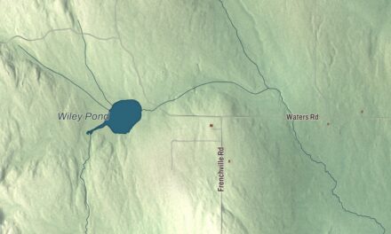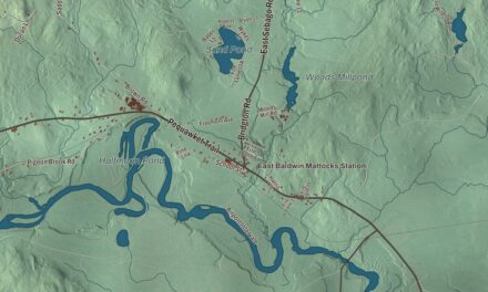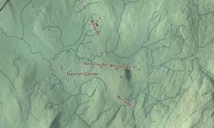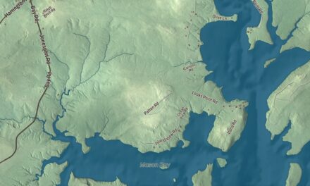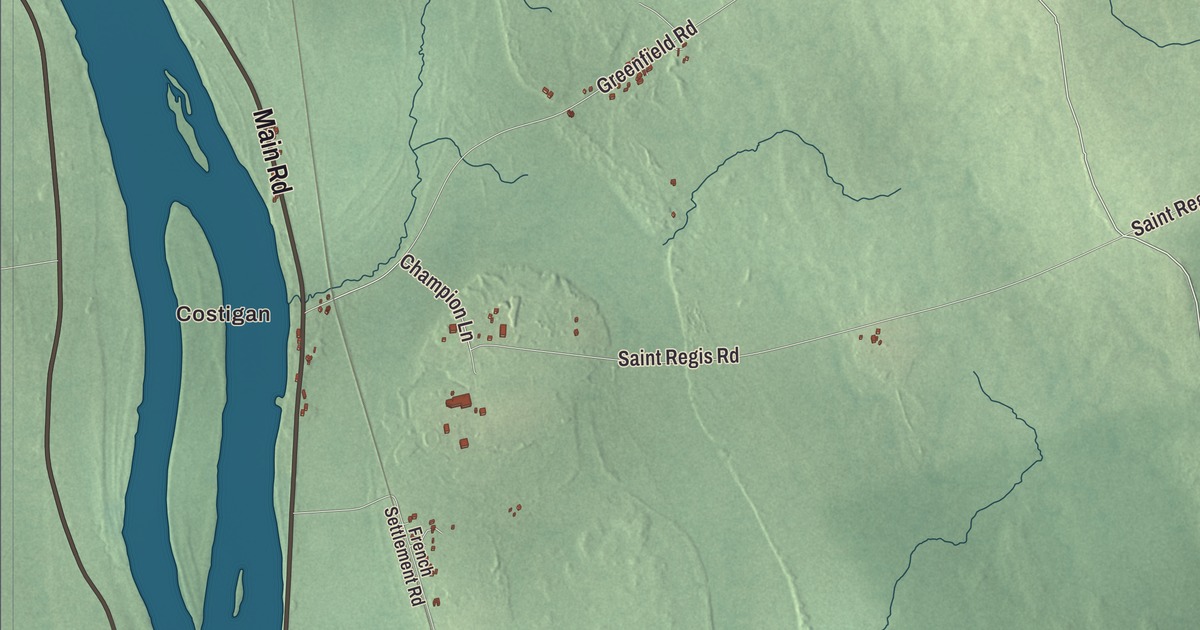
Main Street runs along the Penobscot through Milford, and this map follows it with Bradley Road, Call Road and Pine Street. Click here to purchase a print of this map for your wall.
Milford is a town in Penobscot County.
KNOWOL made this map in 2026 from public survey records, United States Geological Survey elevation data and Census Bureau files. Its atlas layout brings together Milford’s roads, buildings, ponds and waterways, and terrain, the town boundary and the pattern of buildings.
Sunkhaze plantation and the dam
The settlement was called Sunkhaze plantation before it was incorporated as Milford in 1833. It faces the city of Old Town across the Penobscot River, and in the 19th century it had a major water-powered sawmill on the river, with most of its lumber shipped from nearby Bangor.
A large sawmill stood in the 1880s and 1890s where the Bodwell Water Power Company Plant was built in 1906, at the eastern end of the Milford Dam. When it was built it was the largest hydroelectric facility in the state. Wallace C. Johnson, an engineer who had worked on hydroelectric projects at Niagara, designed its Romanesque brick building, which is listed on the National Register of Historic Places. The town’s slogan, “Best little town by a dam site,” refers to the Milford Dam.
Main Street, a refuge and a doctor
The Milford Congregational Church stands at Main and Ferry Streets. The church land was bought in 1883 and construction took two years, with Asa T. Wing of Old Town as contractor. The Queen Anne church is also on the National Register. The Sunkhaze Meadows National Wildlife Refuge lies in Milford too.
Lulu Hunt Peters, born to Thomas and Alice Hunt of Milford, became a physician and wrote the 1918 best seller Diet and Health: With Key to the Calories. She was the first person to widely popularize counting calories as a way to lose weight.
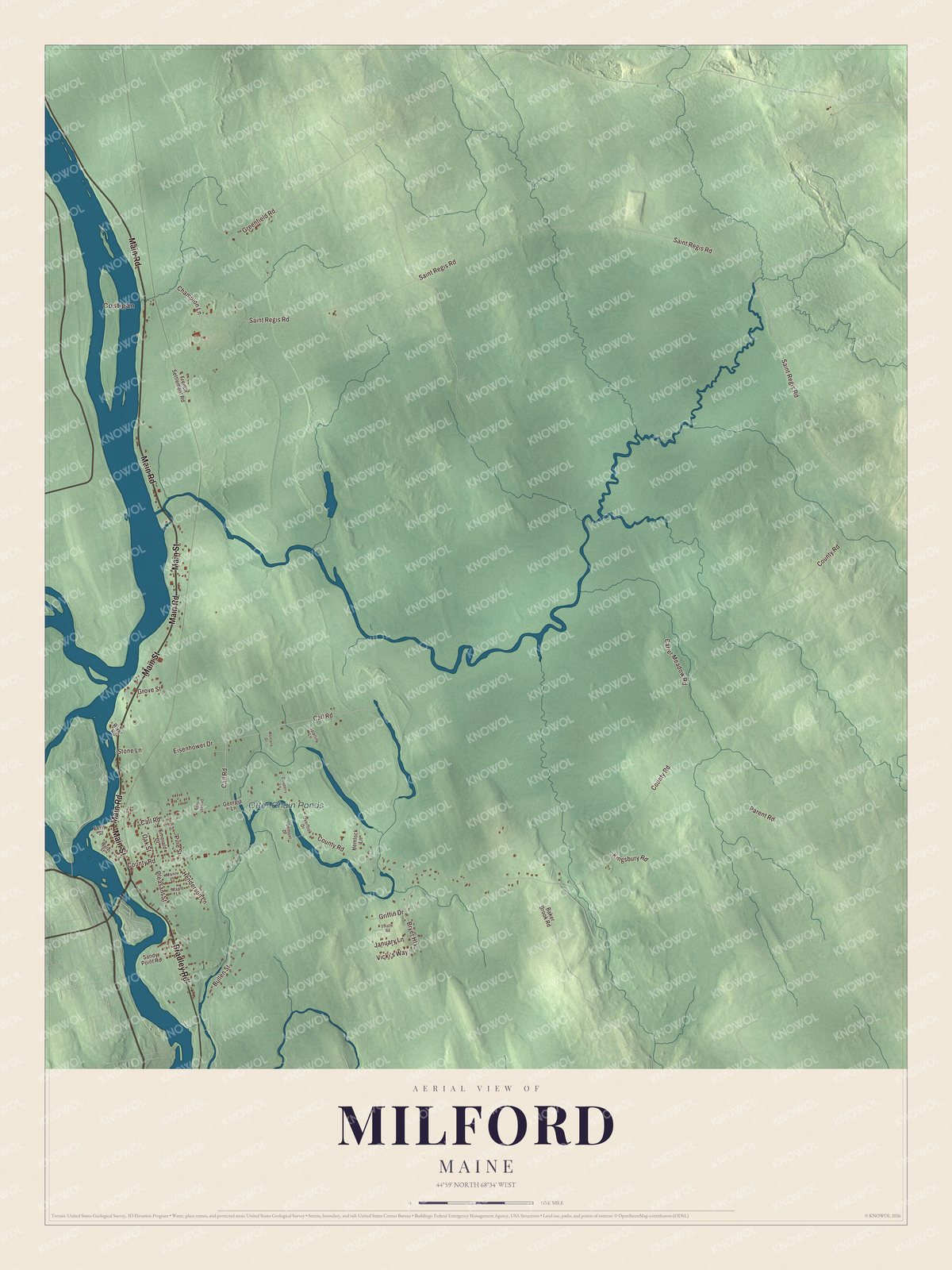
Click to explore a larger preview. The digital watermark does not appear on printed maps.
See it on a wall
The Milford map as a framed print. Swipe for more.


Explore the Milford map
Start with Costigan, then follow Bradley Road, Main Road, Main Street, Call Road, Griffin Drive and Pine Street across town. All of those names are printed on the artwork.
Follow Main Street along the river and compare the village with the wetlands and woods to the east. Enlarge the preview to find the roads you know.
For people who call Milford home, this map shows the town as it looks today. Put it in your office, library, or den, or use it to teach children the geography and history of the area. Zoom in on the preview above to explore the details, then click here to get your copy of the Milford, Maine map.

Sources