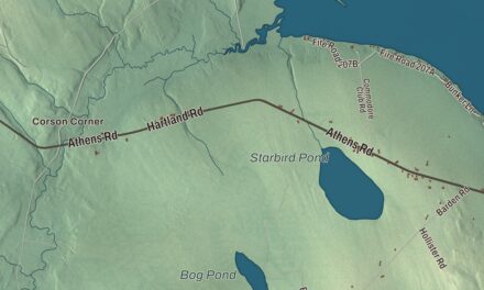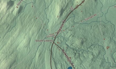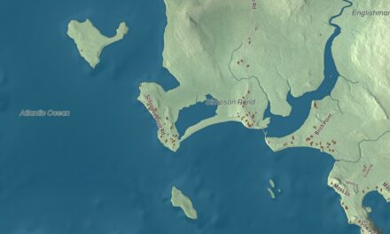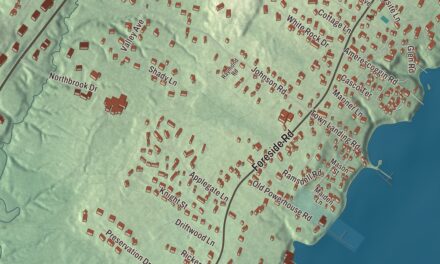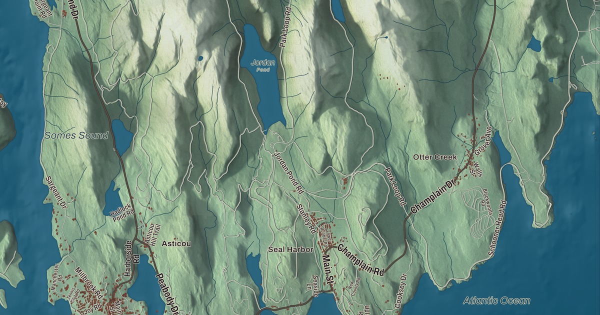
Somesville sits at the head of Somes Sound, and this map of the town of Mount Desert follows the sound to the sea, with Northeast Harbor and Seal Harbor along the coast. Click here to purchase a print of this map for your wall.
Mount Desert is a town in Hancock County.
KNOWOL made this map in 2026 from public survey records, United States Geological Survey elevation data and Census Bureau files. Its atlas layout brings together Mount Desert’s roads, buildings, ponds and waterways, and terrain, the town boundary and the pattern of buildings.
Six villages around a sound
Mount Desert was incorporated in 1789, and it takes in six villages: Otter Creek, Seal Harbor, Northeast Harbor, Somesville, Hall Quarry and Pretty Marsh. Water covers 18 of its 54.88 square miles, and the 2020 census counted 2,146 residents.
Somesville is the town’s oldest village. Abraham and Hannah Somes and James and Rachel Richardson, among the first families to settle on the island, arrived in 1761; Massachusetts governor Francis Bernard had asked Somes to settle there and build mills. The village and the sound were named for the Somes family. Logging mills, a shoe factory, a woolen mill and granite quarries followed, and in 1886 the annual shipment of cut stone was estimated at more than 3,500 tons. In 1975 the village center and harbor were listed on the National Register as the Somesville Historic District, which takes in the 1828 Isaac Somes House, the oldest in the village, and the 1852 Union Church.
Somes Sound nearly splits Mount Desert Island in two, and its deepest point is about 175 feet. It’s often called a fjord, though officials now call it a fjard, a smaller drowned glacial bay.
Northeast Harbor and Asticou
Northeast Harbor was once so popular with summer visitors from Philadelphia that it was sometimes known as “Philadelphia on the rocks.” In 1883 Augustus Chase Savage built the Asticou Inn there, and after an 1899 fire he and his son rebuilt it, reopening in 1901. After renovations finished in 2025, it took the name Asticou Hotel. The name Asticou comes from a Penobscot word believed to mean boiling kettle.
Across Peabody Drive, the inn’s owner Charles Kenneth Savage created the Asticou Azalea Garden in 1956. Much of its first plant collection came from Reef Point, landscape architect Beatrix Farrand’s summer place in Bar Harbor, and John D. Rockefeller Jr. helped pay for the move. It’s laid out in the style of a Japanese stroll garden, with fine gravel paths raked to suggest flowing water.
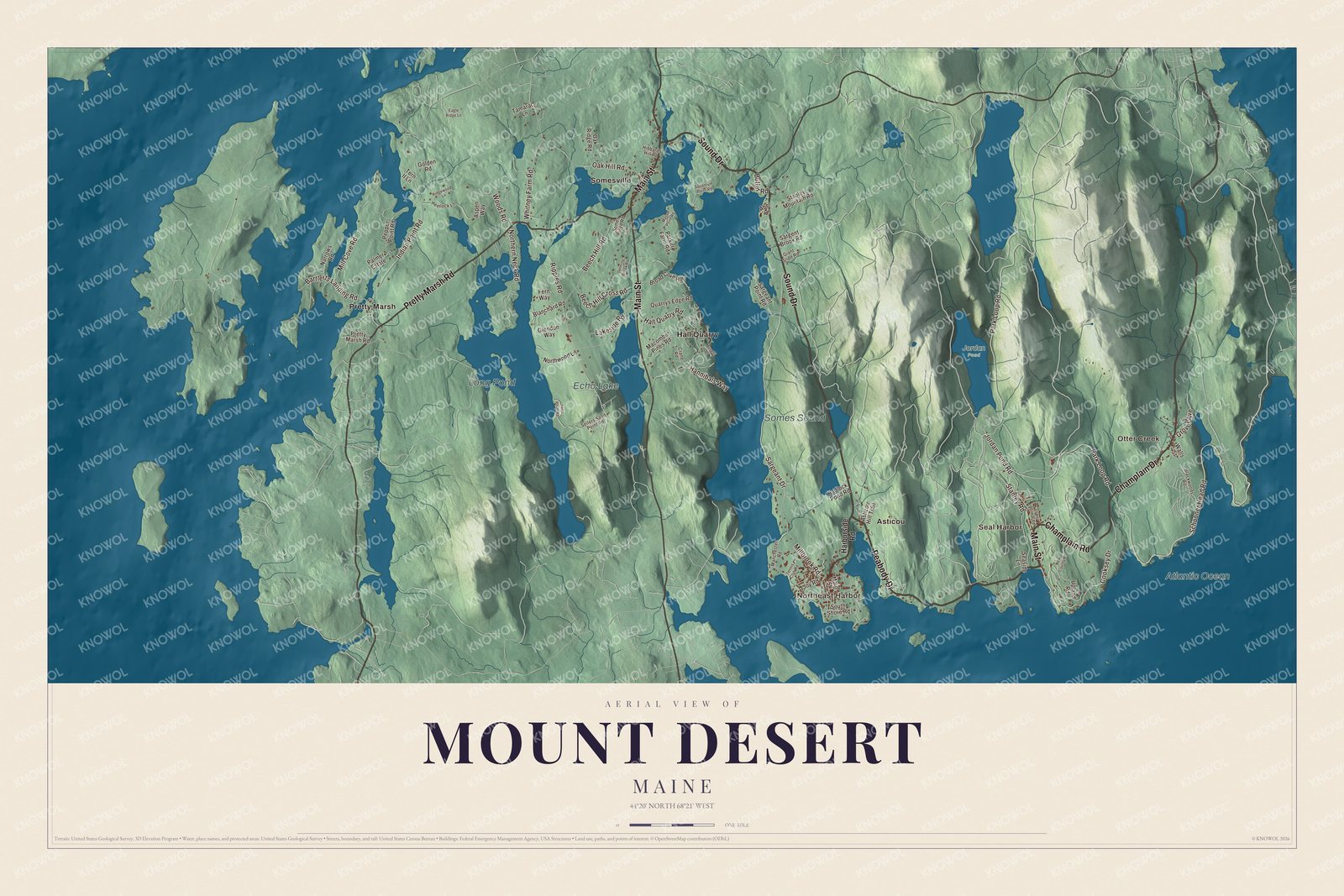
Click to explore a larger preview. The digital watermark does not appear on printed maps.
See it on a wall
The Mount Desert map as a framed print. Swipe for more.


Explore the Mount Desert map
Start with Otter Creek and Seal Harbor, then follow Peabody Drive, Main Street, Champlain Road, Champlain Drive, Pretty Marsh Road and Sound Drive across town. Those are printed names, and Northeast Harbor, Asticou, Hall Quarry, Pretty Marsh and Somesville are farther along.
Somes Sound, Long Pond, Echo Lake and the Atlantic Ocean are labeled too. Trace the sound from Somesville at its head down to the open ocean, and compare the harbor villages with the mountains and woods between them.
For people who call Mount Desert home, this map shows the town as it looks today. Put it in your office, library, or den, or use it to teach children the geography and history of the area. Zoom in on the preview above to explore the details, then click here to get your copy of the Mount Desert, Maine map.

Sources