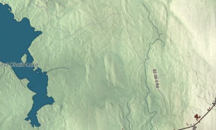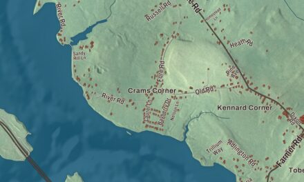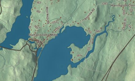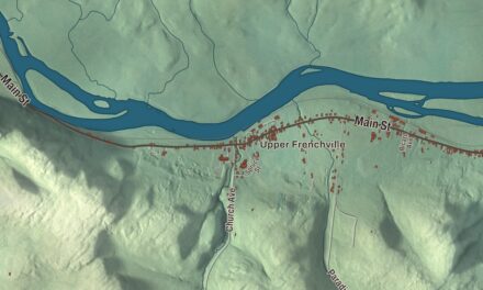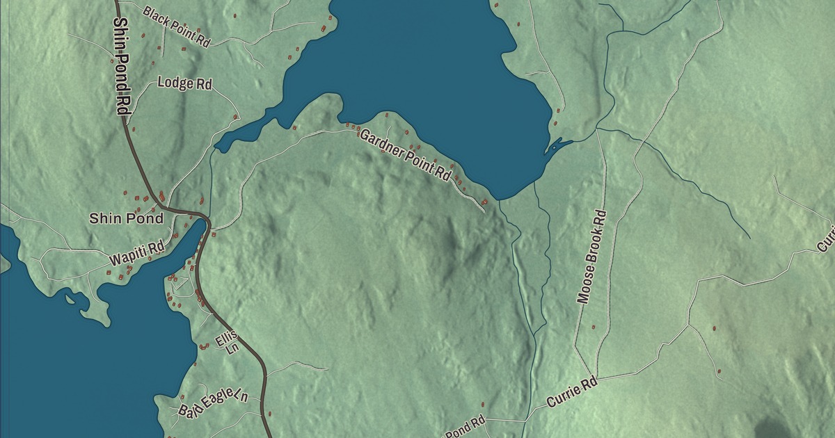
Shin Pond Road and North Road cross this map of Mount Chase, and Upper Shin Pond and Ackley Pond sit among the forest around them. Click here to purchase a print of this map for your wall.
Mount Chase is a town in Penobscot County.
KNOWOL made this map in 2026 from public survey records, United States Geological Survey elevation data and Census Bureau files. Its atlas layout brings together Mount Chase’s roads, buildings, ponds and waterways, and terrain, the town boundary and the pattern of buildings.
Named for its mountain
The town takes its name from Mount Chase, a peak of volcanic origin 2,440 feet high. The Penobscot and Wolastoqiyik people are believed to have used the land around Katahdin for thousands of years. Two families appear in the 1837 Maine Census, and the first permanent residents are dated to 1838. The place was organized as Mount Chase Plantation in 1862, and on March 2, 1864, it became the town of Mount Chase.
After the Civil War, the railroad reached Mattawamkeag, and a 50-mile stage route ran from there to Mount Chase, and supplies could be shipped in and goods and wild game shipped out more easily. A Gazetteer of the State of Maine in 1881 called the area well wooded and noted a sawmill on Crystal Brook on the east side of town, while another work of the time said farming had become the main occupation.
Camps on Shin Pond
Charles H. Sibley opened the Shin Pond House in the 1870s, at first the town’s only hotel. It was rebuilt more than once after fires, and after the last one, in 1979, Craig and Terry Hill built Shin Pond Village on the site in the early 1980s, with a general store, campsites, guest suites and cabins. Mt. Chase Lodge opened on Upper Shin Pond in 1960, and Rick and Sara Hill have run it since 1976. Sporting camps and guiding still help support the town, and snowmobiling has become a major winter sport.
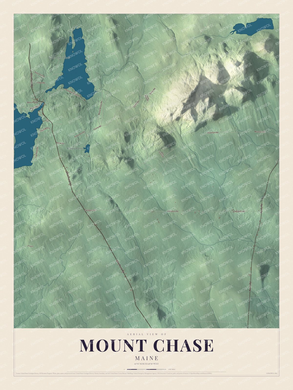
Click to explore a larger preview. The digital watermark does not appear on printed maps.
See it on a wall
The Mount Chase map as a framed print. Swipe for more.


Explore the Mount Chase map
Start with Shin Pond, then follow Shin Pond Road, North Road, Wapiti Road, Currie Road, Moose Brook Road and Lodge Road across town. Those are printed names on the artwork.
Upper Shin Pond and Ackley Pond are labeled too. Upper Shin Pond covers 544 acres and reaches 64 feet at its deepest. Patten is 10 miles away, and the north entrance to Baxter State Park is 15. Compare the camps near the water with the forest around them.
For people who call Mount Chase home, this map shows the town as it looks today. Put it in your office, library, or den, or use it to teach children the geography and history of the area. Zoom in on the preview above to explore the details, then click here to get your copy of the Mount Chase, Maine map.

Sources