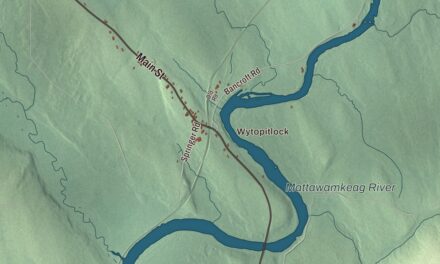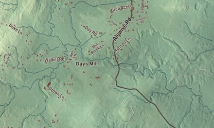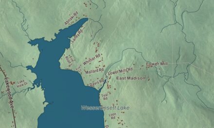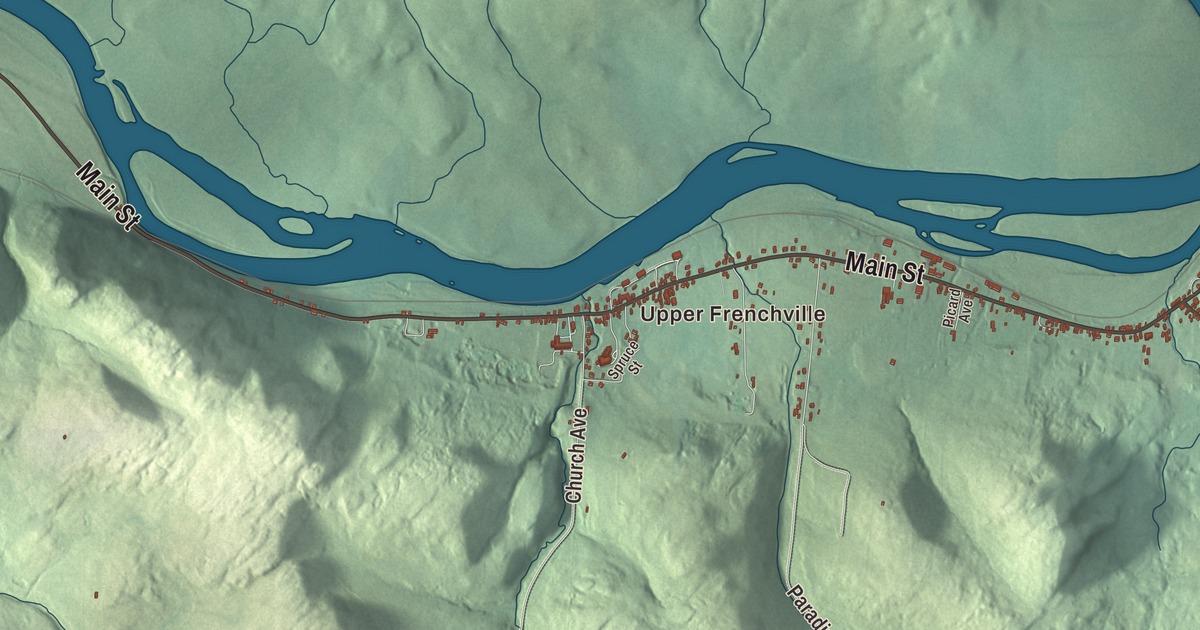
Upper Frenchville is printed on this map, with Main Street, Church Avenue and Saint Agatha Avenue among the named roads. Beyond the road names, the aerial view brings the town’s buildings and terrain together. Click here to purchase a print of this map for your wall.
Frenchville is a town in Aroostook County, on the south bank of the Saint John River.
KNOWOL made this map in 2026 from public survey data and gave it the look of an old atlas. United States Geological Survey elevation data provides the shaded ground, while Census Bureau files supply the roads and town boundary. The 2020 census counted 1,052 people in Frenchville, which remains a distinct town in Maine.
A town beside New Brunswick
Frenchville was incorporated in 1869. The Saint John River forms its international boundary with New Brunswick, Canada. French has a continuing place in the community, and the town history describes Valley French as part of local speech.
The town also holds Northern Aroostook Regional Airport and Corriveau Mill. Its railroad station and water tank preserve another part of the valley’s transportation history. These are places in Frenchville’s story, alongside the roads and buildings brought together in the map.
Water for the steam engines
The Bangor and Aroostook Railroad built Frenchville’s station and water tank around 1910. The small station had an agent’s room between its freight and passenger areas. Beside it stood a wooden water tower that supplied steam locomotives.
The tank’s railroad use ended in 1958 when the line changed to diesel engines. Frenchville bought it and used it as a reservoir for the fire department until 1981. The station remained in railroad service until 1971; local citizens later took responsibility for maintaining the historic property.
A caboose beside the station began as a Pullman troop transport car in 1943. The railroad acquired it in 1949 and converted it for caboose service, and it was donated to the Frenchville Historical Society in 1988. The station and water tank were added to the National Register of Historic Places in 1995.
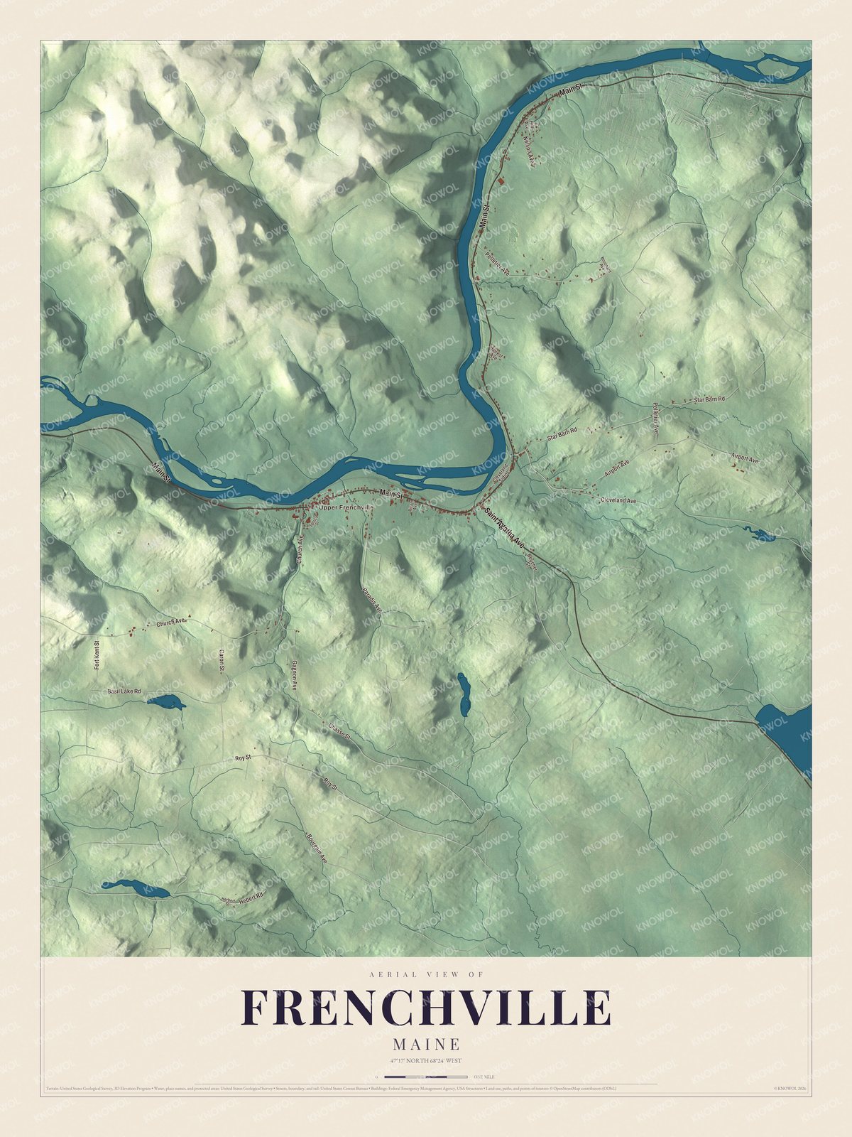
Click to explore a larger preview. The digital watermark does not appear on printed maps.
See it on a wall
The Frenchville map as a framed print. Swipe for more.


Upper Frenchville and Main Street
Main Street, Saint Agatha Avenue, Bourgoin Avenue, Church Avenue, Roy Street and Pelletier Avenue are printed by name. Upper Frenchville is printed too. The town’s other roads are drawn among the buildings and shaded terrain, giving you more to explore in the larger preview.
The historic station sits between Route 1 and the railroad tracks, west of the junction with Route 162. Its water tank and caboose recall different stages of rail travel. The surrounding valley also connects Frenchville with the communities on the other side of the Saint John River.
For anyone who calls Frenchville home, this map offers the town as it looks today, with familiar roads in one view. It can be an addition to an office, library or den and help teach children the geography and history of the area. Zoom in on the preview above to explore the details, then click here to get your copy of the Frenchville, Maine map.

Sources