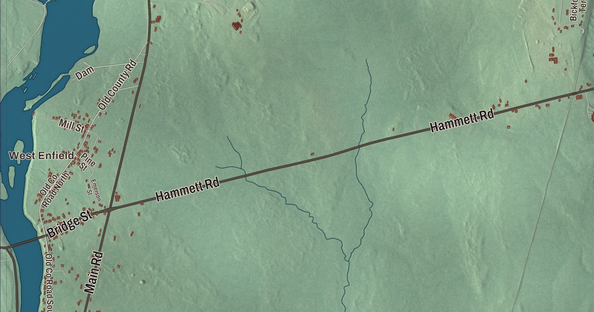
Cold Stream Pond covers the east side of this map of Enfield, Maine. Enfield Road, Main Road and Lincoln Road are here, and so are West Enfield, Morgan Beach, Bridge Street, Hammett Road and Lowell Road. Click here to purchase a print of this map for your wall.
Enfield is a town in Penobscot County, with 1,435 people at the 2020 census.
KNOWOL made this map in 2026 from public survey data and gave it the look of an old atlas. The Census Bureau measures the town at 33.00 square miles, 5.26 of them water, and its files give the roads and the town line. United States Geological Survey elevation data shades the ground, which has a listed elevation of 210 feet.
Cold Stream
Enfield was first settled about 1820 on the east bank of the Penobscot River, and it was first called Cold Stream. It was incorporated on January 31, 1835. Three state routes, 6, 116 and 155, cross the Penobscot together on the Howland-Enfield Bridge, a five-span truss bridge just below the river’s meeting with the Piscataquis, and come into town past a row of businesses to U.S. Route 2. From there Route 155 heads east alone, reaches the town center and turns north as Enfield Road, skirting the west end of Cold Stream Pond on its way to Lincoln.
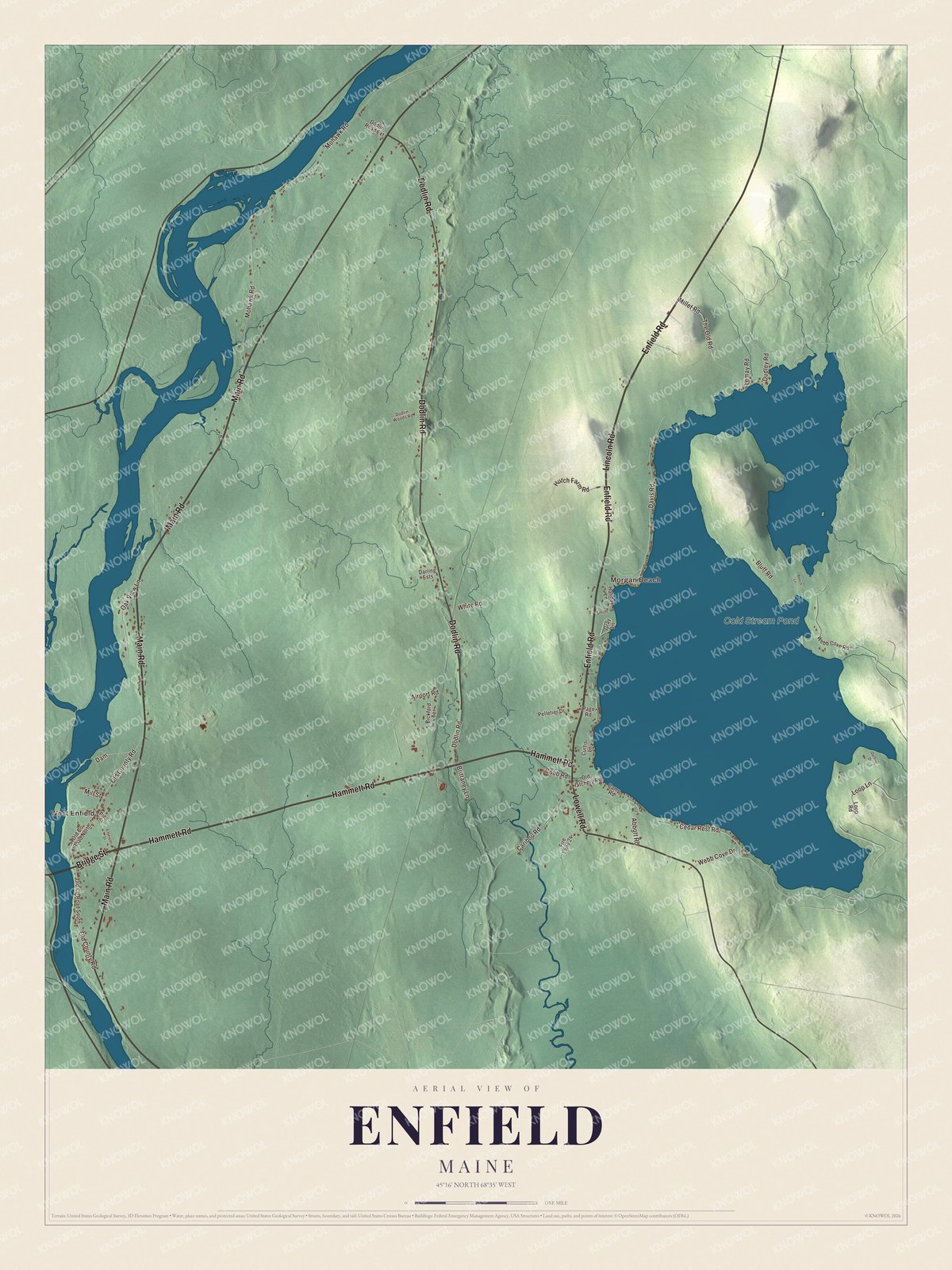
Click to explore a larger preview. The digital watermark does not appear on printed maps.
See it on a wall
The Enfield map as a framed print. Swipe for more.


The pond
Cold Stream Pond covers the eastern side of town, and Enfield has a large seasonal population, with many cottages on the pond. Private roads run off Route 155 to the houses along the shore, and another road leads to the Cold Stream Pond Recreation Area and Morgan Beach. There’s a public boat launch on Old Hatchery Road off State Route 188. A ridge pinches the pond in two, a smaller northern basin and a larger southern one, and Smelt Brook brings in water from Upper Cold Stream Pond and Little Round Pond in Lincoln. Lake trout native to the pond spawn in Webb Cove, in its southeast corner, and feed on the rainbow smelt that spawn in Smelt Brook; Atlantic salmon were brought to the pond in 1876.
The pond spills out at its southwest corner into Cold Stream, which runs 5 miles south to the Passadumkeag River, 2 miles above the Penobscot. The Passadumkeag’s Penobscot name means “at the land beyond the gravel bar.” Beside the outlet, the Cobb State Fish Hatchery uses the pond’s water to raise fish for stocking elsewhere.
Enfield people
Merle Fogg, who lived from 1898 to 1928, was a stunt pilot, and an airport in Florida, the Merle Fogg Airport, carries his name. Matthew Mulligan lived in Enfield and went to Penobscot Valley High School in Howland. He never played football in high school, but he joined the team at Husson University, moved on to the University of Maine, and played tight end in the National Football League for teams including the New England Patriots.
Around Enfield
Enfield Road and Main Road are printed on the map, and so are Lincoln Road, Bridge Street, Hammett Road and Lowell Road. West Enfield and Morgan Beach are printed too, and Cold Stream Pond is labeled on the map. The private roads along the shore and the town’s other roads are drawn in as well.
This Enfield map makes a fine addition to an office, library or den, and it can help teach children the geography and history of the area. It’s made for everyone who calls Enfield home, from West Enfield to Morgan Beach, as it looks today. Zoom in on the preview above to explore the details, then click here to get your copy of the Enfield, Maine map.

Sources