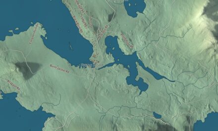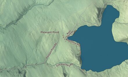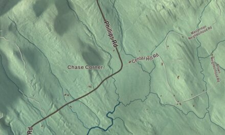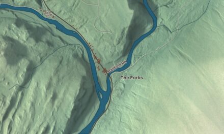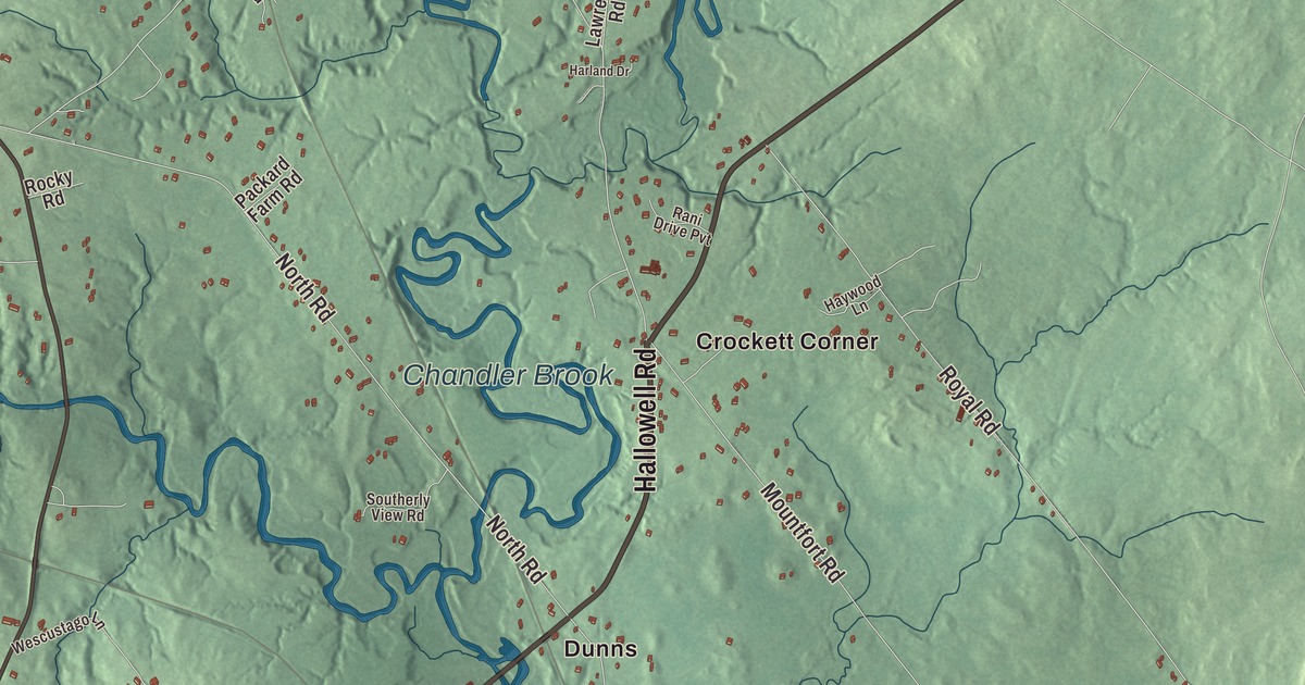
Gray Road and New Gloucester Road cross this map of North Yarmouth, the Cumberland County town chartered in 1680 that once reached all the way to the sea. Click here to purchase a print of this map for your wall.
North Yarmouth is a town in Cumberland County.
KNOWOL made this map in 2026 from public survey records, United States Geological Survey elevation data and Census Bureau files. Its atlas layout brings together North Yarmouth’s roads, buildings, ponds and waterways, and terrain, the town boundary and the pattern of buildings.
Ancient North Yarmouth
Settlers first came to this area in 1636, and it was abandoned twice before a lasting settlement took hold in 1713. The Wabanaki called the river country Wescustogo. William Royall bought a farm on the river in the 1640s, and the Royal River still bears his name, though its official spelling drops the second L. John Cousins settled a neck of land nearby that also carries his name.
North Yarmouth was chartered on September 22, 1680. The “North” set it apart from Yarmouth on Cape Cod, since Maine was then part of Massachusetts. The old town reached to the sea and took in what became Harpswell, Freeport, Pownal, Cumberland and Yarmouth, which were set off one by one until Yarmouth left in 1849. For the town’s tricentennial in 1980, William Hutchinson Rowe’s 1937 history of Ancient North Yarmouth and Yarmouth was reissued.
Walnut Hill and the farms
An 1886 gazetteer called Walnut Hill, in the western part of town, its greatest height, with Little Walnut about a mile to the east. The village of Walnut Hill began between them, and the Maine Central Railroad had a station there, beside the largest group of houses in town. The Royal River ran north to south through North Yarmouth, the land was good, and farming was almost the only business, with some lumber, carriages, flour and meal made as well.
The First Congregational Church stands where Gray Road meets New Gloucester Road. It was built in 1839, and Asa Cummings was one of its early ministers. Toddy Brook, a tributary of the Royal River, passes beneath Memorial Highway, and Toddy Brook Golf Course sits at the corner of Sligo Road and Memorial Highway. The town’s notable people include sea captains Sylvanus Blanchard, Samuel Drinkwater, Jonathan Greeley and Levi Marston, along with shipbuilder Lyman Fessenden Walker, mill owner William Hawes and missionary and author Rufus Anderson.
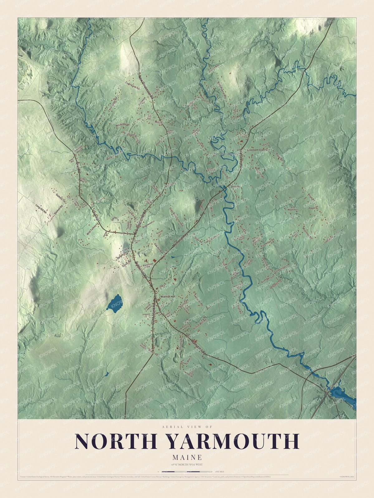
Click to explore a larger preview. The digital watermark does not appear on printed maps.
See it on a wall
The North Yarmouth map as a framed print. Swipe for more.


Explore the North Yarmouth map
Start with Crockett Corner and Dunns, then follow Walnut Hill Road, Gray Road, Hallowell Road, New Gloucester Road, Memorial Highway and Cumberland Road across town. Those names are printed on the artwork. Then look outward toward Walnut Hill, and find Chandler Brook, which is labeled too.
Walnut Hill Road is State Route 115 and Memorial Highway is State Route 9. Follow them across the farmland and woods, and compare the houses gathered near the crossroads with the open country between them.
For people who call North Yarmouth home, this map shows the town as it looks today. Put it in your office, library, or den, or use it to teach children the geography and history of the area. Zoom in on the preview above to explore the details, then click here to get your copy of the North Yarmouth, Maine map.

Sources