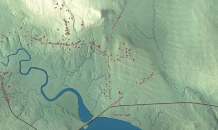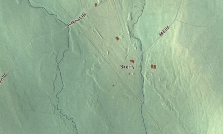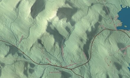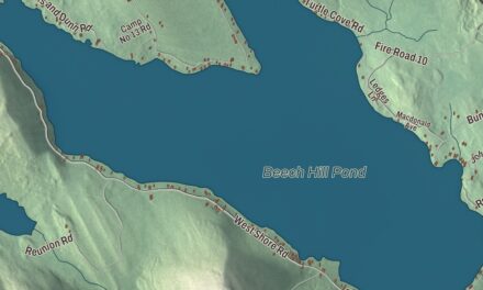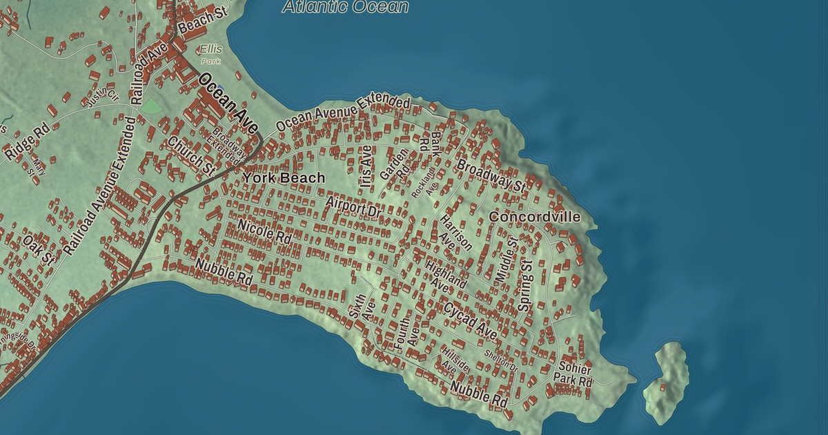
Long Beach Avenue, Ocean Avenue, Main Street, York Street, Clyde Street and Cape Neddick Road all carry their names on this map of Cape Neddick. Concordville and Long Beach are printed too, along with York Beach, Briley Pond and the Atlantic Ocean. Click here to purchase a print of this map for your wall.
Cape Neddick is a named community in the town of York, York County, with 3,037 people at the 2020 census.
KNOWOL made this map in 2026 from public survey data and gave it the look of an old atlas. The shaded relief comes from United States Geological Survey elevation data, and the streets come from the Census Bureau, which treats Cape Neddick as a census-designated place of about 4 square miles. The community is mapped with its own boundary, running from Cape Neddick Harbor in the north to Route 1 in the west and the York Harbor line in the south, and the finished artwork gives Cape Neddick its own place title. That boundary takes in the whole Cape Neddick peninsula and all of York Beach, with a beach on either side of the cape.
The Nubble
Families were living on Cape Neddick before 1655, among them the Goochs, Weares, Wantons, Stovers and Wheelwrights. Its most distinctive feature came much later. Cape Neddick Light stands on Nubble Island, about 100 yards off Cape Neddick Point, and it’s commonly known as the Nubble. Plans for a light here went back to 1837, Congress set aside $15,000 in 1874, and the light was first lit on July 1, 1879. The tower stands 41 feet tall, but the steep rocky islet lifts its light to 88 feet above the sea, and the railing around the lantern is decorated with 4-inch brass models of the lighthouse itself. The tower was first painted red and has been white since 1902, the year the red keeper’s house was built, and the light was automated in 1987.
The Nubble is one of the last eight lights in Maine that still have their Fresnel lens. A picture of it went into space aboard the Voyager spacecraft on the Golden Record, among images of Earth’s best-known features like the Great Wall of China and the Taj Mahal. Visitors watch it from Sohier Park on the mainland, and twice a year it’s outlined in Christmas lights, once around July 25 and again in December. Its page has its own stories, too, like the keeper’s 19-pound cat that was said to swim the channel to visit friends on the mainland.
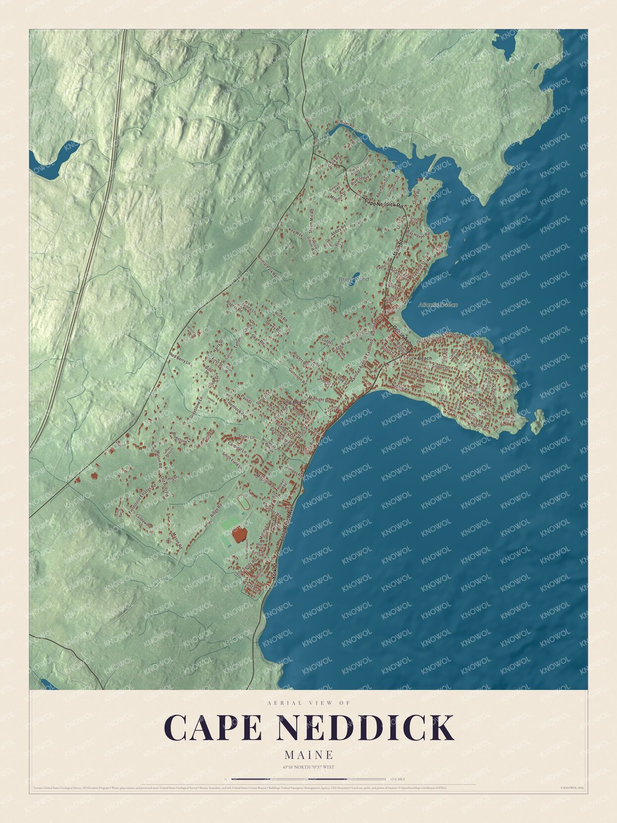
Click to explore a larger preview. The digital watermark does not appear on printed maps.
See it on a wall
The Cape Neddick map as a framed print. Swipe for more.


Concordville and York Beach
Concordville and Long Beach are printed on the map. Concordville got its name early in its days as a middle-class summer resort, because so many of its vacationers came from New Hampshire. The Conant-Sawyer Cottage on Kendall Road, built in 1877 with a mansard roof and a tower, belonged in turn to a doctor from Somersworth, to Charles Henry Sawyer, a Dover businessman who served as governor of New Hampshire, and to a shoe manufacturer from Rochester.
York Beach is printed too. It’s made up of Long Sands and Short Sands, the two beaches on either side of the cape, and Long Sands runs 1.3 miles. Short Sands has the busier village, with arcades, shops and restaurants, and York Days fills it each August with a craft fair, a softball tournament and fireworks. Main Street is printed on the map. On its west side in the village center stands the Hawkes Pharmacy, a Tudor Revival building put up in 1902 by Wilson and Ralph Hawkes for their drugstore and a dry goods shop. Its page calls it the commercial building in York Beach that keeps significant historic features, and it’s the only known building other than a house by its architect, Fred Watson. At 99 Freeman Street, Pebbledene, a Queen Anne and Shingle Style house of 1896, was the last large summer house built in the area and takes its name from the pebbles on the nearby beaches.
Long Beach Avenue, Ocean Avenue, York Street, Clyde Street and Cape Neddick Road are printed on the map, and so are Briley Pond and the Atlantic Ocean. About a mile north of the village, St. Peter’s By-The-Sea, a stone and wood summer chapel of 1897, was built on Christian Hill so that fishermen at sea could see the cross on its steeple.
This Cape Neddick map makes a handsome addition to an office, library or den, and it can teach children the geography and history of a summer place on the York coast. It’s made for anyone who calls Cape Neddick home, from Concordville to Long Beach, as it looks today. Zoom in on the preview above to explore the details, then click here to get your copy of the Cape Neddick, Maine map.

Sources