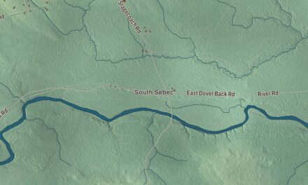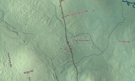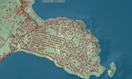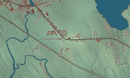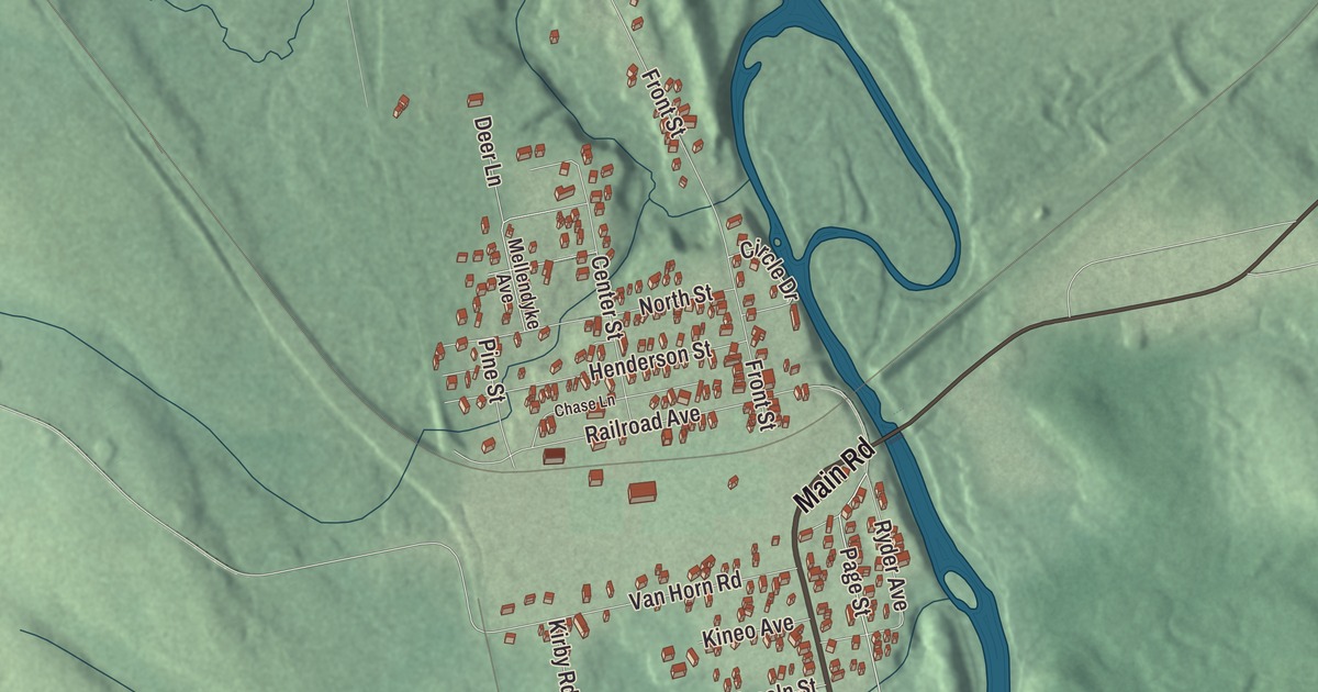
Railroad Avenue leads the street names printed on this map of Brownville Junction with Main Road, Main Street, Page Street, Front Street and Ryder Avenue. Click here to purchase a print of this map for your wall.
Brownville Junction is a village in the town of Brownville, Piscataquis County, with 506 people at the 2020 census.
KNOWOL made this map in 2026 from public survey data and gave it the look of an old atlas. The relief is shaded from United States Geological Survey elevation data, and the streets come from the Census Bureau, which has counted Brownville Junction as a place of its own since just before the 2020 census. The community is mapped with its own boundary, and the finished artwork gives Brownville Junction its own place title.
Where two railroads crossed
Brownville Junction came into being in 1889. That year the Canadian Pacific Railway built the International Railway of Maine as part of its line across the continent, linking Montreal with Saint John, New Brunswick. The new line passed three miles north of Brownville village and crossed the older Bangor and Katahdin Iron Works Railway, and the place where they met was named Brownville Junction. The older line became part of the Bangor and Aroostook Railroad in 1891, and the junction became the interchange between the Bangor and Aroostook and the Canadian Pacific. Ownership of the lines changed several times over the years, and today they belong to CPKC. In 2019 the Canadian Pacific bought the Central Maine and Québec Railway, and trains again ran from Brownville Junction to New Brunswick.
The branch north of the junction once led to the Katahdin Iron Works, northwest of the village at Silver Lake, where iron was made from 1845 to 1890 in a stone blast furnace fed by charcoal kilns. Trains stopped running to the ironworks in 1922, but Sara Green, the postmistress there, kept driving an automobile fitted with flanged wheels over the old tracks until the rails were pulled up in 1933. The site is now a state historic site, with its restored blast furnace and one charcoal kiln. The junction’s high school had a noted student, too: Allan Butterfield, born in Brownville in 1946, went to Brownville Junction High School, and as a chemist at the University of Kentucky he was named among the world’s leading experts on Alzheimer’s disease by the Expertscape rankings.
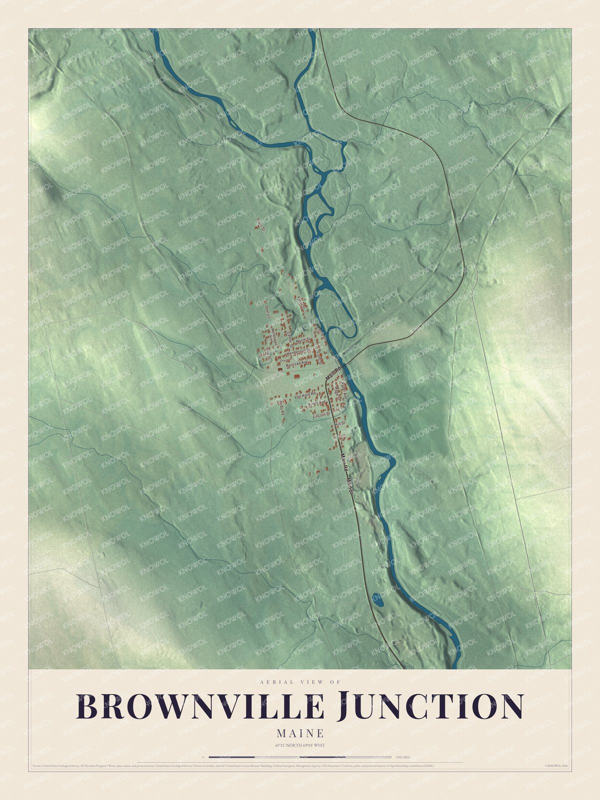
Click to explore a larger preview. The digital watermark does not appear on printed maps.
See it on a wall
The Brownville Junction map as a framed print. Swipe for more.


Main Road and the village streets
Main Road and Main Street are printed on the map. The village sits in the west-central part of Brownville, on the west side of the Pleasant River, and State Route 11 passes through it, running 3 miles south to Brownville village and 7 miles to Milo, and 31 miles northeast to Millinocket. Page Street, Front Street, Railroad Avenue and Ryder Avenue are printed as well. The village stands about 380 feet above sea level.
This Brownville Junction map makes a handsome addition to an office, library or den, and it can teach children the geography and history of a railroad village. It’s made for anyone who calls Brownville Junction home, from Railroad Avenue to Ryder Avenue, as it looks today. Zoom in on the preview above to explore the details, then click here to get your copy of the Brownville Junction, Maine map.

Sources