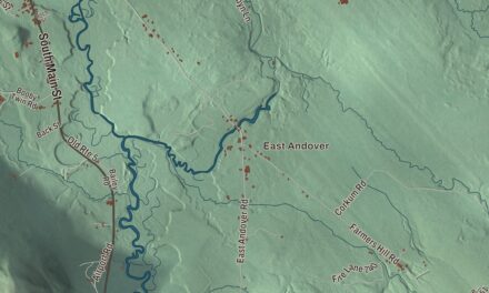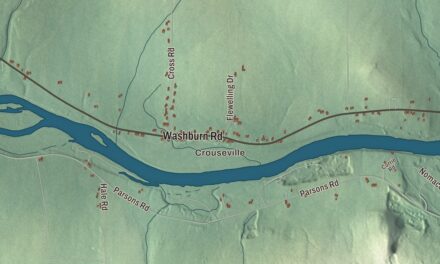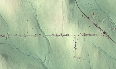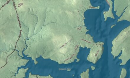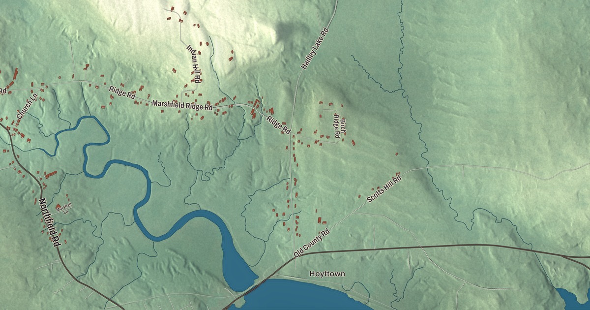
Hoyttown is a starting point for exploring this Marshfield map. Look for Court Street and Marks Lake, then examine the roads and buildings around them. Click here to purchase a print of this map for your wall.
Marshfield is a town in Washington County.
KNOWOL made this map in 2026 from public survey records, United States Geological Survey elevation data and Census Bureau files. Its atlas layout brings together Marshfield’s roads, buildings, ponds and waterways, and terrain, the town boundary and the pattern of buildings.
Lura Beam remembered her childhood
Marshfield was incorporated in 1846. Writer and educator Lura Beam was born here in 1887.
Beam’s 1957 book A Maine Hamlet recalls growing up with her grandparents in Marshfield. It describes the residents, institutions and daily life of the community around the turn of the twentieth century.
She also worked for the American Association of University Women, organizing traveling art exhibitions for its branches. Her career included teaching in North Carolina and Tennessee and research on aging and retirement.
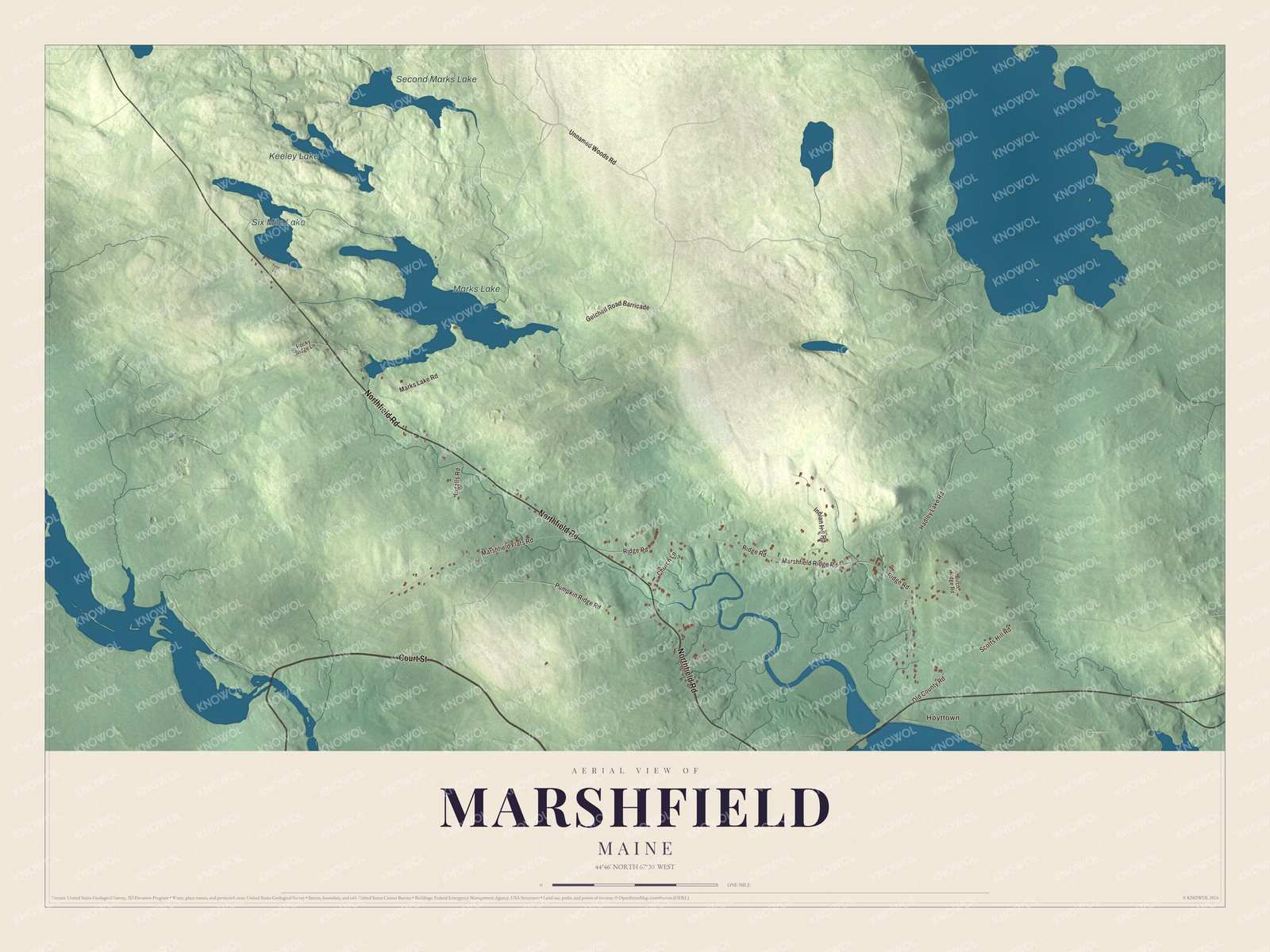
Click to explore a larger preview. The digital watermark does not appear on printed maps.
See it on a wall
The Marshfield map as a framed print. Swipe for more.


Explore the Marshfield map
Hoyttown, Marks Lake, Six Mile Lake, Second Marks Lake and Keeley Lake are printed names. Court Street, Northfield Road and Unnamed Woods Road give you roads to find in the aerial view.
Marshfield Ridge Road, Ridge Road and Hadley Lake Road are printed too. Compare the buildings and drawn roads with the water and terrain, then enlarge the preview to examine a place you recognize.
For people who call Marshfield home, this map shows the town as it looks today. Put it in your office, library, or den, or use it to teach children the geography and history of the area. Zoom in on the preview above to explore the details, then click here to get your copy of the Marshfield, Maine map.

Sources