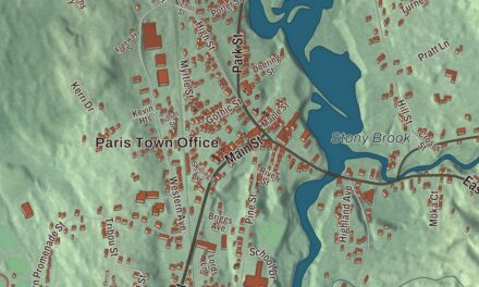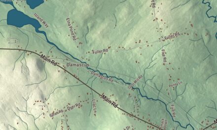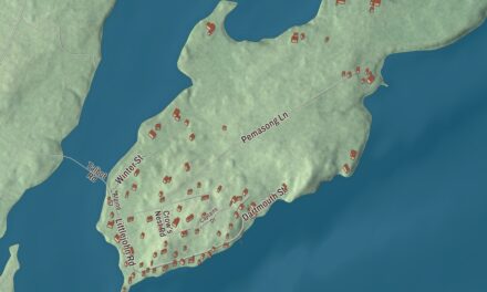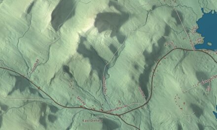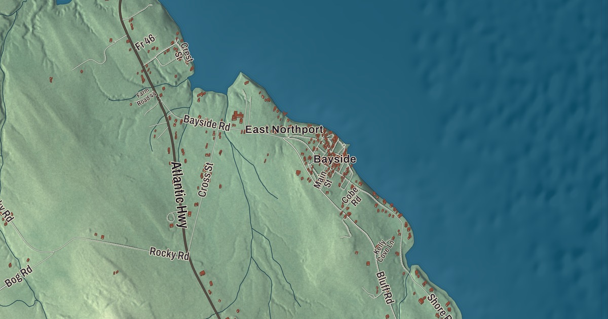
Bluff Road runs through Bayside on this map of Northport. The old camp meeting grounds there, beside the bay, hold more than a hundred Victorian cottages. Click here to purchase a print of this map for your wall.
Northport is a town in Waldo County.
KNOWOL made this map in 2026 from public survey records, United States Geological Survey elevation data and Census Bureau files. Its atlas layout brings together Northport’s roads, buildings, ponds and waterways, and terrain, the town boundary and the pattern of buildings.
A town on Penobscot Bay
The first people to try settling Northport arrived shortly before the Revolution, among them Thomas Burkmar, Samuel Bird, Henry Pendleton and Micaiah Drinkwater. They had barely begun when the war called them into the army, and settlement waited for the peace. Northport was incorporated on February 13, 1796.
An 1886 gazetteer described nine miles of seacoast and many hills, with Mount Percival’s two peaks giving fine views of the bay. Saturday Cove took its name, it’s said, from a Saturday landing by a party of Belfast’s early settlers. Farming and fishing were the main work, with sawmills, coopers, a boat builder and a cheese factory whose cheese sold readily. Pitcher Pond and Knight Pond, closely connected, ran along much of the southern line. Today Pitcher Pond covers 370 acres and Knight Pond 95.
The camp meeting at Bayside
In 1848 land was bought on the shore of Penobscot Bay for the Northport Wesleyan Grove Camp Meeting, and in 1850 it passed to an association of 23 Methodist churches in Knox and Waldo counties. Early visitors stayed in boarding houses and tents. After the association was chartered by the state in 1873, cottages went up fast, more than 100 by 1878. The 1886 gazetteer counted about 300 cottages and a large hotel, and it said the place already deserved to be called the Cottage City of the Penobscot.
The camp meeting faded in the 1920s and 1930s and was dissolved in 1937, but its grounds became Bayside, a seaside summer village that still governs itself as the Northport Village Corporation, set up in 1915. The Bayside Historic District is the largest surviving camp meeting area in the state. Its small cottages carry Gothic Revival trim, bargeboards and sawn porch details, and Auditorium Park stays open as a public park where the auditorium once stood. The Bayside Inn, built around 1900 to 1920, is the only hotel building left from that time.
Ira M. Cobe, a Chicago lawyer and investment banker who led the village corporation from 1915 to 1927, built the Cobe Estate on Bluff Road, starting in 1912. His wife, Anne, was from Belfast, and the house was built in Northport so she could be nearer her family in summer. It’s one of the largest Colonial Revival houses in the state, with grounds designed by Warren H. Manning, and it later stood in for the Crane Mansion in the soap opera Passions.
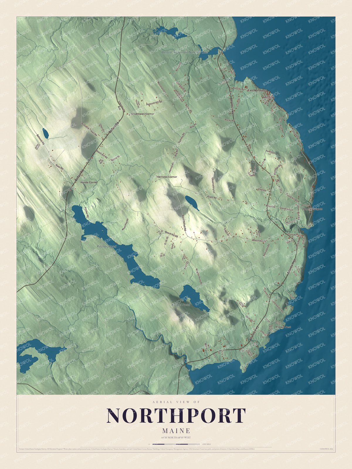
Click to explore a larger preview. The digital watermark does not appear on printed maps.
See it on a wall
The Northport map as a framed print. Swipe for more.


Explore the Northport map
Start with Bayside and Crows Nest, then follow Atlantic Highway, Belfast Road, Back Belfast Road, Bluff Road, Bog Road and Herrick Road across town. Those names are printed on the artwork. Then look outward toward East Northport, Greenlaws Corner, Herricks Corner, Hurds Corner and Temple Heights.
Pitcher Pond, Knight Pond and Belfast Reservoir Number One are labeled too. Compare the small cottage lots of Bayside with the farms and woods inland.
For people who call Northport home, this map shows the town as it looks today. Put it in your office, library, or den, or use it to teach children the geography and history of the area. Zoom in on the preview above to explore the details, then click here to get your copy of the Northport, Maine map.

Sources