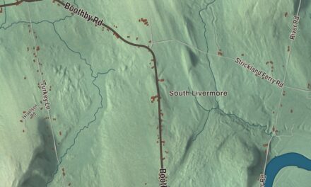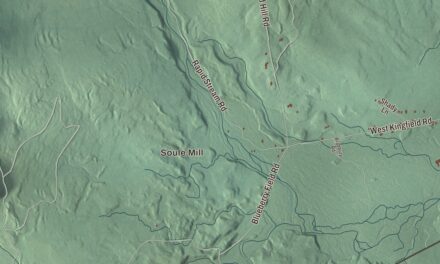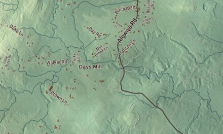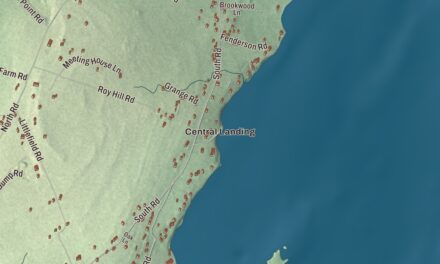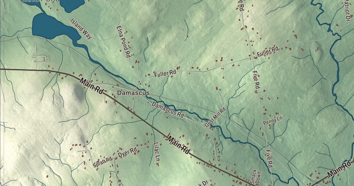
If you know Carmel, Maine, you know Main Road and Hampden Road, and both are printed on this map. Plymouth Road, Cook Road, Five Road and Irish Road carry their names too, along with Damascus, Etna Pond, Souadabscook Stream, Tracy Brook and Harvey Stream. Click here to purchase a print of this map for your wall.
Carmel is a town in Penobscot County, with 2,867 people at the 2020 census.
This map was made by KNOWOL in 2026 from public survey data, with the look of an old atlas. United States Geological Survey elevation data shades the ground, and the roads and town line come from the Census Bureau. By the bureau’s count Carmel covers 36.90 square miles, 0.37 of them water, and it’s part of the Bangor metropolitan area.
Named for Mount Carmel
Martin Kinsley of Hampden bought the township in 1795 and began selling lots. The first settlers were Abel Ruggles and the Reverend Paul Ruggles, and they named the place in honor of the prophet Elijah’s experience on Mount Carmel. Carmel was incorporated as a town in 1811. Hampden Road is printed on the map. It shares its name with the town Kinsley came from.
The center of town is where U.S. Route 2 and State Route 100 meet State Route 69. Route 69 comes into Carmel, crosses Route 2 and Route 100 there, and turns south toward Newburgh. Interstate 95 runs east and west across the southern part of town, though both of its exits, 167 and 174, sit just outside the town line.
The actress Myrna Fahey was born in Carmel in 1933 and went to Carmel Grammar School until she was six, and by early 1940 her family had moved to Southwest Harbor. She went on to play Maria Crespo in Walt Disney’s Zorro and Madeline Usher in The Fall of the House of Usher, and she appeared in episodes of 37 television series, Bonanza and Perry Mason among them.
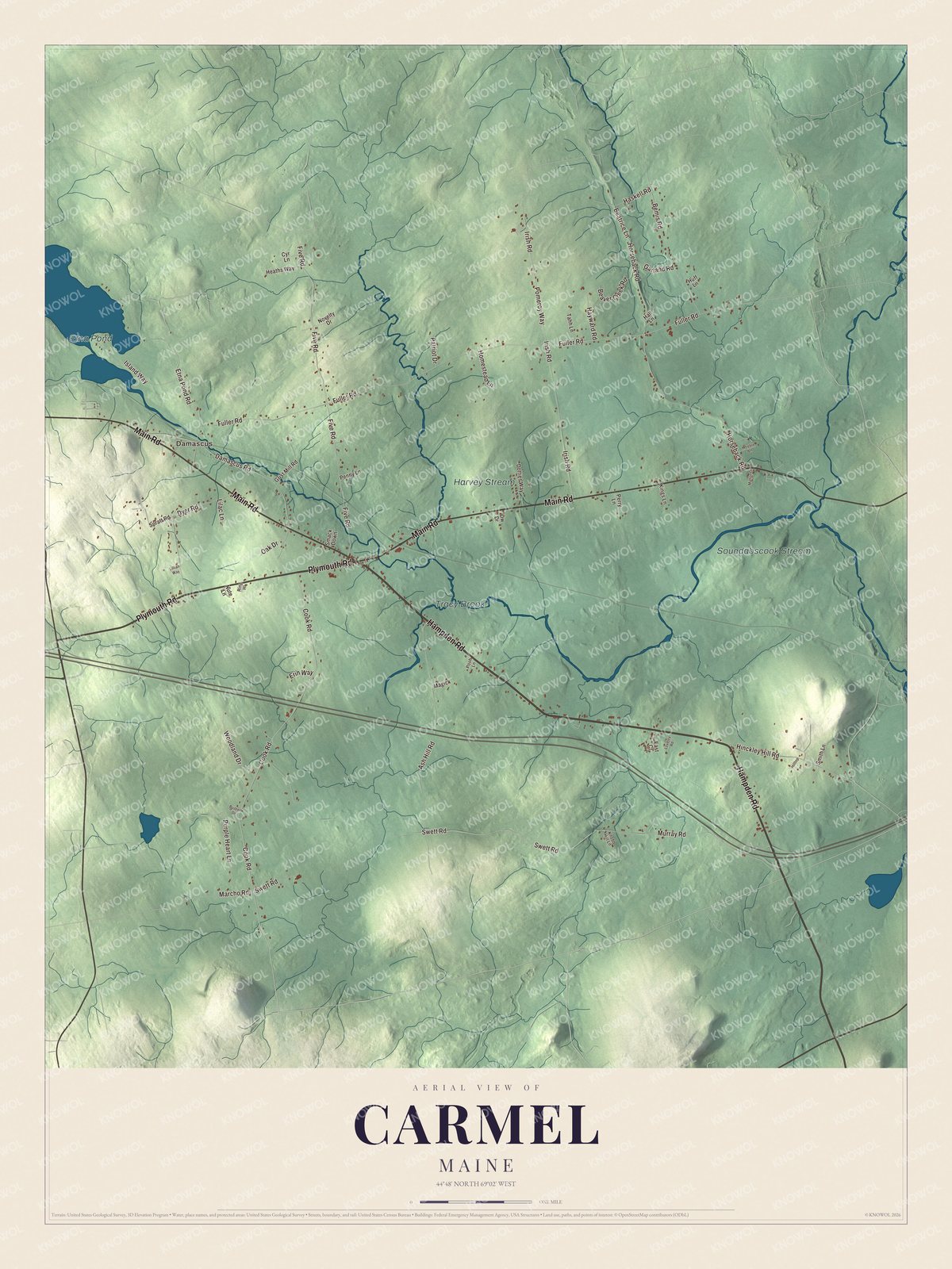
Click to explore a larger preview. The digital watermark does not appear on printed maps.
See it on a wall
The Carmel map as a framed print. Swipe for more.


Souadabscook Stream
Souadabscook Stream is printed on the map. It’s the main waterway through the town, flowing east to the Penobscot River in Hampden. For thousands of years the Native people of Maine used it to travel by canoe between the Penobscot and Kennebec river systems.
Tracy Brook and Harvey Stream are printed on the map as well, and so is Etna Pond. Main Road, Plymouth Road, Cook Road, Five Road and Irish Road carry their names across town, and Damascus is printed too.
This map of Carmel makes a handsome addition to an office, library or den, and it can help teach children the geography and history of the area. It’s for anyone who calls Carmel home, from Main Road to Souadabscook Stream, as it looks today. Zoom in on the preview above to explore the details, then click here to get your copy of the Carmel, Maine map.

Sources