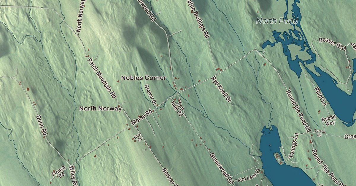
Main Street runs through the village center on this map of Norway. This Oxford County lake town was once known as the Snowshoe Capital of the World. Click here to purchase a print of this map for your wall.
Norway is a town in Oxford County.
KNOWOL made this map in 2026 from public survey records, United States Geological Survey elevation data and Census Bureau files. Its atlas layout brings together Norway’s roads, buildings, ponds and waterways, and terrain, the town boundary and the pattern of buildings.
Rustfield, Norage and Norway
Native people lived around Pennesseewassee Lake for thousands of years. In 1786 Joseph Stevens, George Leslie, Amos Hobbs, Jeremiah Hobbs, Jonas Stevens and Nathaniel Stevens began clearing land and building homes here, and many early settlers were Revolutionary War veterans, among them Phineas Whitney, who fought at Bunker Hill. A sawmill and gristmill were running by 1789, the first road came in 1796, and Norway was incorporated on March 9, 1797. Before that, the township took the name Rustfield for landowner Henry Rust of Salem, Massachusetts, and residents once asked the Massachusetts General Court to name it Norage, meaning “falls” in the native language.
Water from the Pennesseewassee waterways ran a cloth and carding mill and factories for furniture, boxes and shovel handles, along with a tannery, a harness maker and a trunk maker. Shoe manufacturing began in 1872. The stage route from Paris to Fryeburg passed through, there were 32 stores by 1878, and for some years Norway had the fastest growing population of any similar town in the state. The Norway Branch Railroad opened on December 30, 1879, linking the village to the main line at South Paris.
Main Street
The Norway Historic District takes in most of the village center, 64 historic buildings on 44 acres along Main Street and its side streets. The Universalist Church at 45 Main Street dates to 1829. After a fire in May 1894 burned much of the business district, many Main Street buildings were rebuilt in brick, and the Norway Opera House at 219 Main Street went up that same year to anchor the village. The district also holds the Asa Danforth House of 1830, one of the finest brick Federal houses in western Maine, and halls built by the Knights of Pythias, the Odd Fellows and the Weary Club, a social organization for older residents.
Snowshoe Town
Norway was known as the Snowshoe Capital of the World and the Snowshoe Town of America for its snowshoe makers. A. M. Dunham began making them in 1878, and explorer Robert Peary called them “the best snow-shoes [he] ever saw.” Walter Tubbs founded the Tubbs Snowshoe Company in 1906, and the company supplied Byrd’s polar expeditions. After Tubbs moved to Vermont, SnoCraft set up in the old Tubbs factory and supplied 70 percent of the snowshoes the U.S. government ordered in World War II. New Balance built a shoe factory in Norway in 1997.
Fiddler Mellie Dunham, born in Norway in 1853, was also a snowshoe maker who sent 60 pairs to Peary for an Arctic expedition, and he rose to fame after Henry Ford invited him to play at his Dearborn home. Writer C. A. Stephens, born here in 1844, wrote by his own estimate 3,000 short stories, many for The Youth’s Companion, and one of his books is C. A. Stephens Looks at Norway. Out on Crockett Ridge Road, the Bennett House of about 1792 keeps a parlor with unusual stenciled walls, and Don Carlos Seitz, publisher of the New York World, later farmed there and named it Cedarbrook Farm.
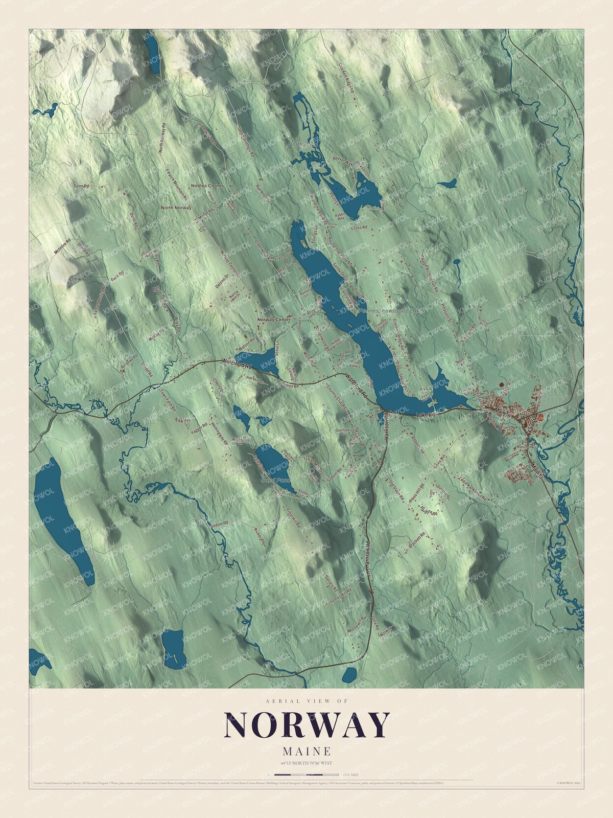
Click to explore a larger preview. The digital watermark does not appear on printed maps.
See it on a wall
The Norway map as a framed print. Swipe for more.


Explore the Norway map
Start with Nobles Corner and North Norway, then follow Harrison Road, Main Street, Lake Road, Fair Street, Waterford Road and Alpine Street across town. Those names are printed on the artwork. Then look outward toward Yagger and Norway Center.
Pennesseewassee Lake, North Pond and Sand Pond are labeled too. An 1886 gazetteer described Great Pennesseewassee Pond stretching more than four miles just east of the middle of town, with North Pond feeding it from the northeast and Sand Pond lying southwest of the center.
For people who call Norway home, this map shows the town as it looks today. Put it in your office, library, or den, or use it to teach children the geography and history of the area. Zoom in on the preview above to explore the details, then click here to get your copy of the Norway, Maine map.

Sources