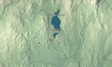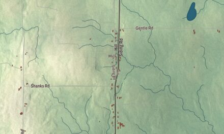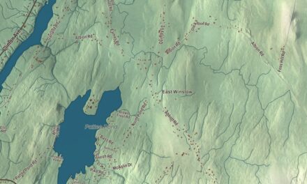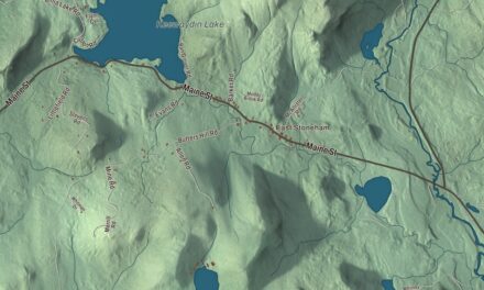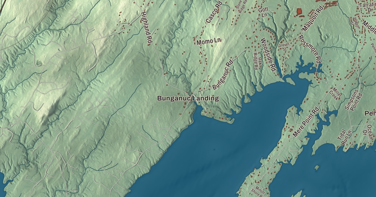
Pleasant Street, Mill Street and Harpswell Road all carry their names on this map of Brunswick, and so do Bath Road, Gurnet Road and Old Portland Road on their way out of town. Cooks Corner, Bunganuc Landing, Growstown and Coffin Pond are printed too. Click here to purchase a print of this map for your wall.
Brunswick is a town in Cumberland County, with 21,756 people at the 2020 census.
KNOWOL made this map in 2026 from public survey data and gave it the look of an old atlas. The shaded relief comes from United States Geological Survey elevation data, and the roads and town line come from the Census Bureau. By the bureau’s count Brunswick covers 54.34 square miles, and 7.61 of them are water, at the north end of Casco Bay and the head of tide on the Androscoggin River.
Pejepscot and the falls
Thomas Purchase and a group of fishermen settled here in 1628, and the place kept its Indigenous name, Pejepscot, which means the long, rocky rapids part of the river. The settlement was burned more than once in the colonial wars. In 1717 the Massachusetts General Court made it a township and named it Brunswick, for the House of Brunswick and King George I. It was rebuilt in 1727, and Brunswick dates to 1739, the year it was incorporated as a town.
The Androscoggin drops 41 feet over three falls here, and that water power built the town. As many as 25 sawmills ran at one time, and some of their lumber went into ships. The first cotton mill in Maine, the Brunswick Cotton Manufactory Company, went up in 1809 to spin yarn, and in 1857 the Cabot Manufacturing Company began making cotton cloth in a brick mill along the falls. The company needed so much room that in 1890 it persuaded the town to move Maine Street, the old Twelve Rod Road, which had followed a Native trail between the falls and Maquoit Bay. Two years later, mill workers who lived at Topsham Heights across the river got a footbridge of their own. The Androscoggin Swinging Bridge was built in 1892 by John A. Roebling’s Sons Company, the firm behind the Brooklyn Bridge, and it still carries walkers between the two towns. By 1900 Brunswick was the largest town in Maine, with 6,806 people.
A college town
Bowdoin College was chartered in 1794, and much of Brunswick’s story runs through it. Henry Wadsworth Longfellow studied there and later taught there. In 1850 Calvin Stowe came to teach, and the family rented a house on Federal Street. Harriet Beecher Stowe wrote Uncle Tom’s Cabin in that house. The idea first came to her in 1851 in pew 23 of the First Parish Church, where she saw in her mind an enslaved man wounded by a beating. The Stowes also sheltered John Andrew Jackson, who had escaped slavery in South Carolina and was making his way to Canada, and the house is now a National Underground Railroad Network to Freedom site. Bowdoin owns it today and keeps a room open to the public.
Joshua Chamberlain is said to have heard early chapters of the novel read aloud. He had come to Bowdoin as a student, and he went on to teach there, hold Little Round Top at Gettysburg, win the Medal of Honor, serve four terms as governor of Maine and lead the college as its president. His house at the corner of Maine and Potter streets, which he once had raised so a new first floor could be built underneath, is now the Joshua L. Chamberlain Museum, run by the Pejepscot Historical Society. Kate Furbish grew up here too. She spent decades walking Maine’s woods to collect, classify and paint its plants, filled 14 volumes she called “Flora of Maine” and gave them to Bowdoin, and a lousewort she found in Aroostook County carries her name. The Kate Furbish Elementary School opened in 2020.
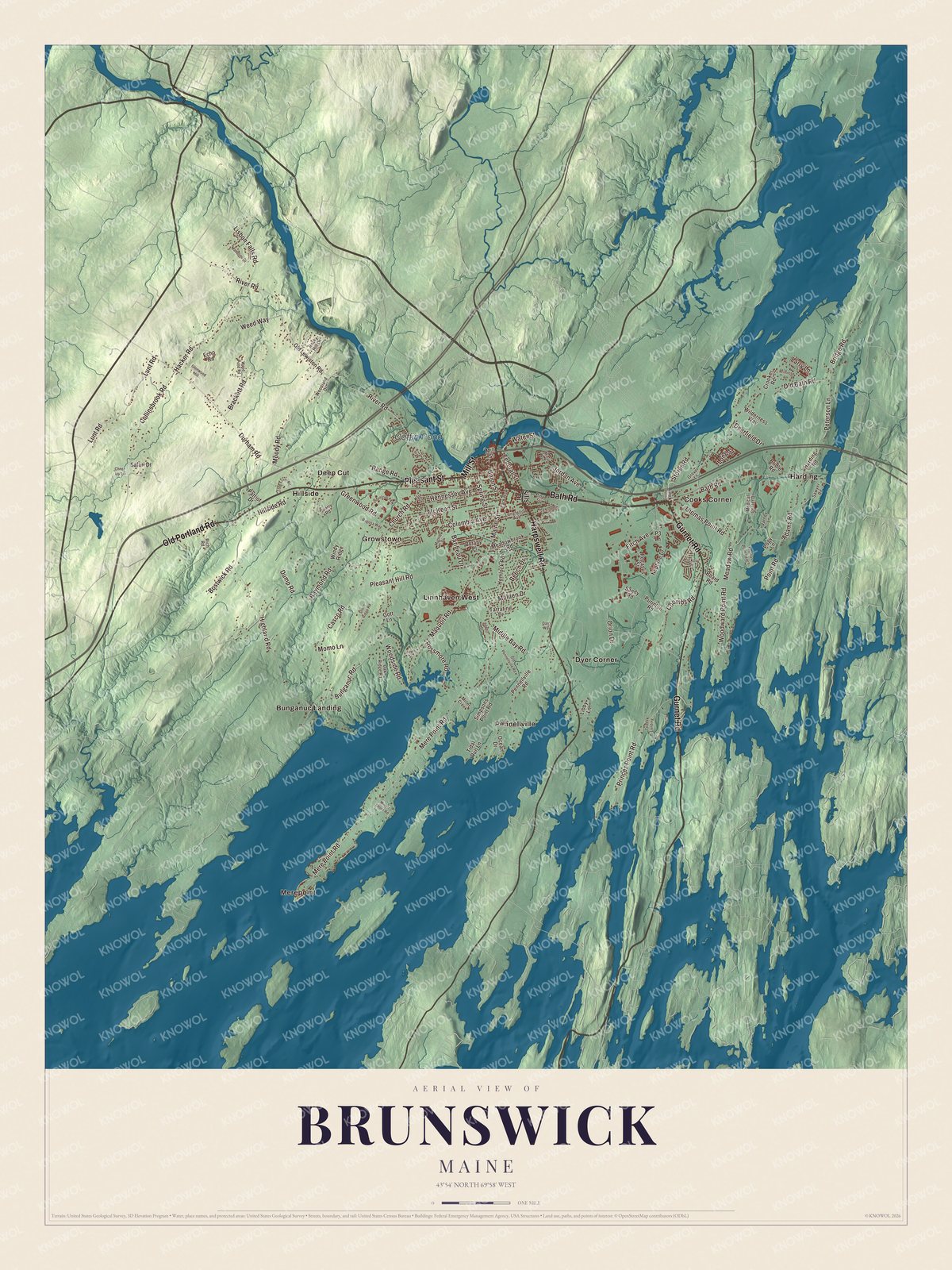
Click to explore a larger preview. The digital watermark does not appear on printed maps.
See it on a wall
The Brunswick map as a framed print. Swipe for more.


Around the printed streets
Pleasant Street is printed on the map. At its corner with Union Street, two blocks west of the downtown, stands St. Paul’s Episcopal Church, built in 1845 to a modest Carpenter Gothic design by Richard Upjohn, the architect of Trinity Church in Manhattan. The congregation was the third Episcopal one in Maine. Upjohn also designed the First Parish meetinghouse on Maine Street, a Gothic church built in wood with board-and-batten siding.
Harpswell Road and Mill Street are printed too. Harpswell Road forms one edge of the grounds of Whittier Field, Bowdoin’s outdoor stadium, which opened in 1896 with a football game against Maine State College. Its Shingle Style grandstand dates to 1903. In 1972 American Olympians, Steve Prefontaine among them, trained on the track there before the Munich Games, and it was the home track of Joan Benoit Samuelson, a Bowdoin graduate and the 1984 Olympic marathon champion.
Growstown, Dyer Corner, Harding, Hillside and Deep Cut are printed out beyond the village. The Growstown School on Woodside Road is the last of the twenty-six one-room schoolhouses Brunswick once had. Bath Road, Gurnet Road and Old Portland Road are printed as well, along with Cooks Corner and Bunganuc Landing on the shore and Coffin Pond in town.
This Brunswick map makes a handsome addition to an office, library or den, and it can teach children the geography and history of a mill town that became a college town. It’s made for anyone who calls Brunswick home, from Bunganuc Landing to Cooks Corner, as it looks today. Zoom in on the preview above to explore the details, then click here to get your copy of the Brunswick, Maine map.

Sources
- Brunswick, Maine, Wikipedia
- Androscoggin Swinging Bridge, Wikipedia
- Bowdoin College, Wikipedia
- Harriet Beecher Stowe House (Brunswick, Maine), Wikipedia
- First Parish Church (Brunswick, Maine), Wikipedia
- Joshua Chamberlain, Wikipedia
- Joshua L. Chamberlain Museum, Wikipedia
- Kate Furbish, Wikipedia
- St. Paul’s Episcopal Church (Brunswick, Maine), Wikipedia
- Whittier Field, Wikipedia