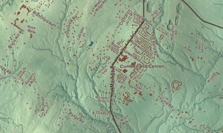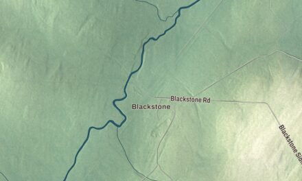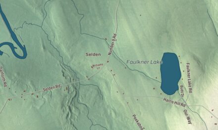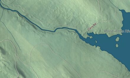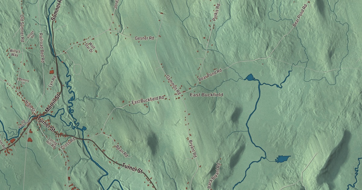
If Buckfield is home, you’ll know Turner Street and Depot Street in the village, and Hebron Road, Streaked Mountain Road and Roundabout Road heading out of it. This map of Buckfield prints them all, along with Morrill Street, East Buckfield, North Buckfield and three ponds. Click here to purchase a print of this map for your wall.
Buckfield is a town in Oxford County, with 1,983 people at the 2020 census.
KNOWOL made this map in 2026 from public survey data and gave it the look of an old atlas. Its hills are shaded from United States Geological Survey elevation data, and its roads and town line come from the Census Bureau, which counts 37.77 square miles in Buckfield, only 0.24 of them water.
Abijah Buck’s town
Benjamin Spaulding, a fur trapper from Chelmsford, Massachusetts, was the first to settle here, in 1776. Abijah Buck and Thomas Allen came with their families in the spring of 1777. In 1785 the settlers had the land surveyed and bought it from Massachusetts for 2 shillings an acre. The place was called Bucktown Plantation, or Plantation No. 5, and Buckfield dates to 1793, when the Massachusetts General Court incorporated it and named it for Abijah Buck.
The ground is uneven, but its deep, dark soil grew good crops of grain, corn and apples. The east and west branches of the Nezinscot River meet at Buckfield Village, and their water ran the mills. Buckfield turned out lumber and shingles, barrel staves, shovel handles and snow shovels, sleds, rakes, brushes, powder kegs, harness and men’s boots, and in 1870 the town had 1,494 people. The Buckfield Branch Railroad reached the village from Mechanic Falls in 1849 and was later pushed on to Canton, and its depot stood at Buckfield Village, the business center for the area.
The Longs and the library
Turner Street is printed on the map. At 5 Turner Street stands the Zadoc Long Free Library, the town’s first library. John Davis Long was born in Buckfield in 1838, the son of Zadoc Long. He tried to start a law practice here without success, moved on to Massachusetts, became its governor and then served as Secretary of the Navy under President William McKinley. In 1882 he bought back the family house in Buckfield. In 1900 he hired the Portland architect John Calvin Stevens to design a library in his father’s honor, and the small shingled building opened in 1901 with books from Long and his relatives. Its design shaped Stevens’s later libraries in Rumford and Houlton.
Long also saved the Union Church on High Street, built in 1831 and 1832 to hold several denominations. When it fell into decay he paid to repair it on condition that the town buy it as a town hall, and he paid for the bell in its tower. A local nonprofit took over its care and restored it in the late 1970s.
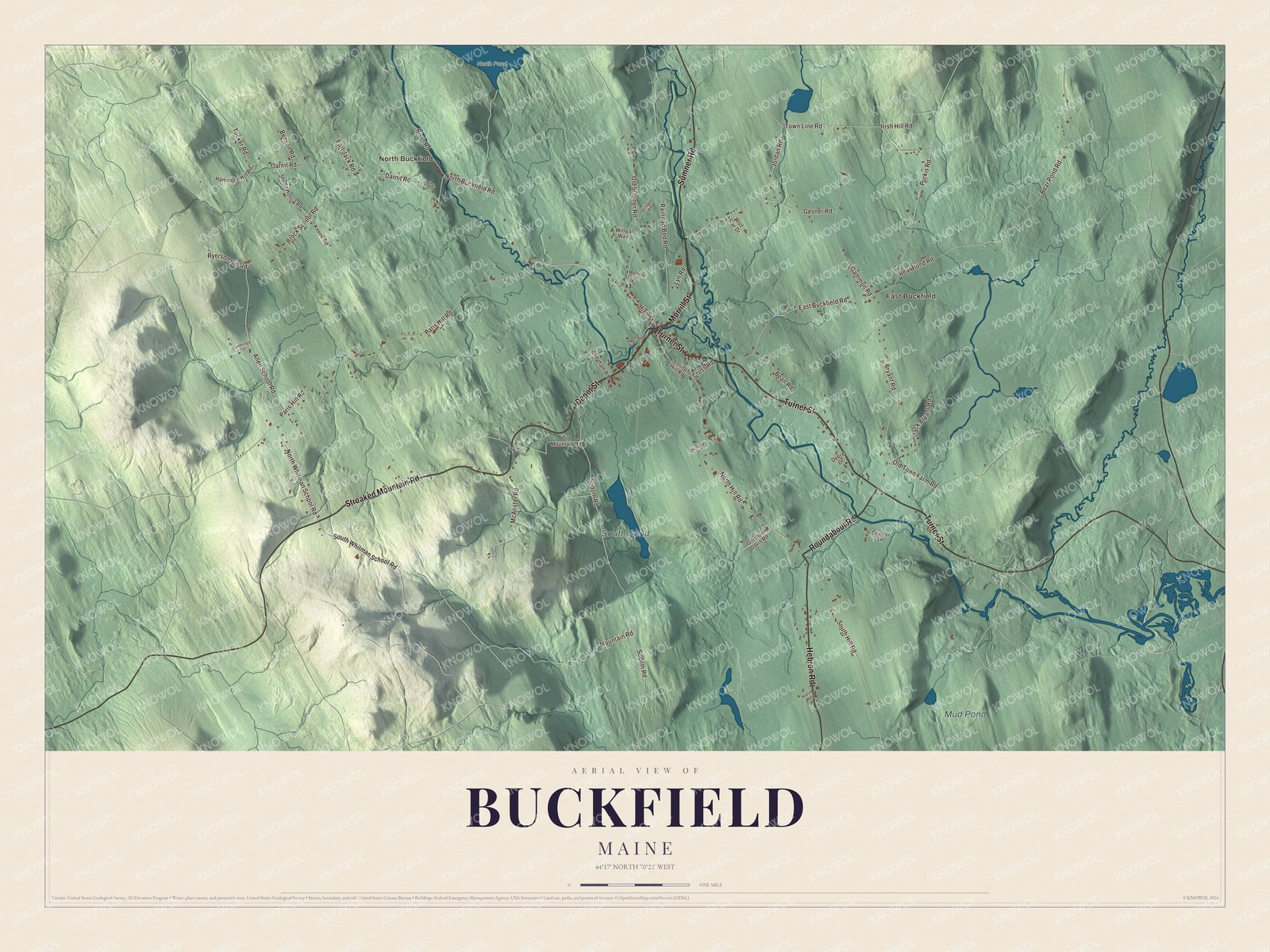
Click to explore a larger preview. The digital watermark does not appear on printed maps.
See it on a wall
The Buckfield map as a framed print. Swipe for more.


Bean Road and the back roads
Buckfield’s early houses still tell its story. Enoch Hall came from Windham in 1783 to settle a farm on what is now Bean Road. He represented the town in the Massachusetts General Court, helped write Maine’s constitution at the convention of 1819 and sat in the first Maine Legislature. The upstairs of his house is painted with murals, probably from around 1830, in the style of the Rufus Porter school, with trees, landscapes, sea mammals, two horses and a striped cat playing with a mouse. The artist is unknown. Down the road, at 8 Bean Road, Ezekiel Courtney Record and Mariam Irish Record built their connected farmhouse in 1843 and 1844 on land the family had held since the town was settled.
On Mountain Road, a small stone bridge crosses Bicknell Brook. The Churchill Bridge is believed to date to about 1797, built by William Churchill, apparently in exchange for a break on his taxes. Five big ledge stones laid over rubble form its span, and it’s one of three documented stone lintel bridges in Maine. A survey in 1924 counted 20 stone bridges in Buckfield alone.
Seba Smith was born in Buckfield in 1792. As a Portland newspaperman he created Major Jack Downing, a plain-spoken Yankee whose letters poked fun at the politicians of the day, and he’s credited as a forerunner of humorists like Will Rogers.
Morrill Street, Depot Street, Roundabout Road, Streaked Mountain Road and Hebron Road are printed on the map, and so are East Buckfield and North Buckfield. South Pond, Mud Pond and North Pond are printed as well.
This Buckfield map makes a handsome addition to an office, library or den, and it can teach children the geography and history of an Oxford County hill town. It’s made for anyone who calls Buckfield home, from East Buckfield to North Buckfield, as it looks today. Zoom in on the preview above to explore the details, then click here to get your copy of the Buckfield, Maine map.

Sources