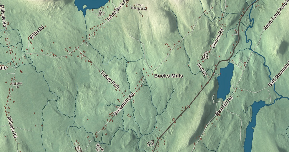
Main Street leads the printed names on this map of Bucksport, with River Road, the Acadia Highway, Duck Cove Road, McGinnis Road and Mast Hill Road reaching out from it. Bucks Mills, Bucksport Center, Millvale, East Bucksport and North Bucksport are printed too, and so are Silver Lake and Jacob Buck Pond. Click here to purchase a print of this map for your wall.
Bucksport is a town in Hancock County, with 4,944 people at the 2020 census.
KNOWOL made this map in 2026 from public survey data and gave it the look of an old atlas. The hills are shaded from United States Geological Survey elevation data, and the roads and town line come from the Census Bureau. The bureau puts Bucksport at 56.53 square miles, 4.99 of them water, at the head of Penobscot Bay.
Jonathan Buck’s plantation
People lived along this shore thousands of years before any town. The earliest were the Red Paint People, a culture about 5,000 years old, later called the Maritime Archaic, who buried red paint in their graves with stone tools. In 1891 Professor Charles Willoughby dug at Indian Point, where the mill now stands, and the town’s page calls it the first archaeological dig in Maine, if not the whole country. The land was later Penobscot territory.
Massachusetts granted the township to Deacon David Marsh of Haverhill and 351 others. Colonel Jonathan Buck came with some of the grantees in 1762 to survey it, and in June 1763 he came back for good, building a sawmill on Mill Creek, a house and a store on what was then Plantation No. 1. By 1775 there were 21 families. A British warship burned the settlement during the Revolution, but after the peace of 1783 it was settled again as Buckstown Plantation, named for its founder. Bucksport dates to 1792, when it was incorporated as Buckstown on June 27, and it took its present name in 1817. His grandson Richard Pike Buck promised the town a library, and after his death his wife and daughter saw it built. The Buck Memorial Library, a small Gothic Revival building of rough Blue Hill granite designed by George A. Clough, opened in 1887.
Ships, rails and paper
Farmers here grew hay and potatoes, but shipbuilding became the main work, and many men sailed to the Grand Banks to fish. Bucksport also made ships’ pumps, blocks and wheels, barrels, carriages, boots and shoes. The railroad arrived in 1874 and gave Bangor a way to ship to Penobscot Bay in winter, when the river froze. In 1930 the Maine Seaboard Paper Company opened the Bucksport Mill, which made newsprint and ran under a string of owners until it closed in December 2014.
Molly Kool, recognized as one of the first registered women sea captains in North America, gave up the sea in 1944 to marry Ray Blaisdell of Bucksport. Bucksport also turns up in the 1960s television series Dark Shadows, set near the made-up town of Collinsport. Northeast Historic Film, a moving image archive for northern New England, is based here. It bought the 1916 Alamo Theatre downtown in 1992, and the cinema shows current films every weekend.
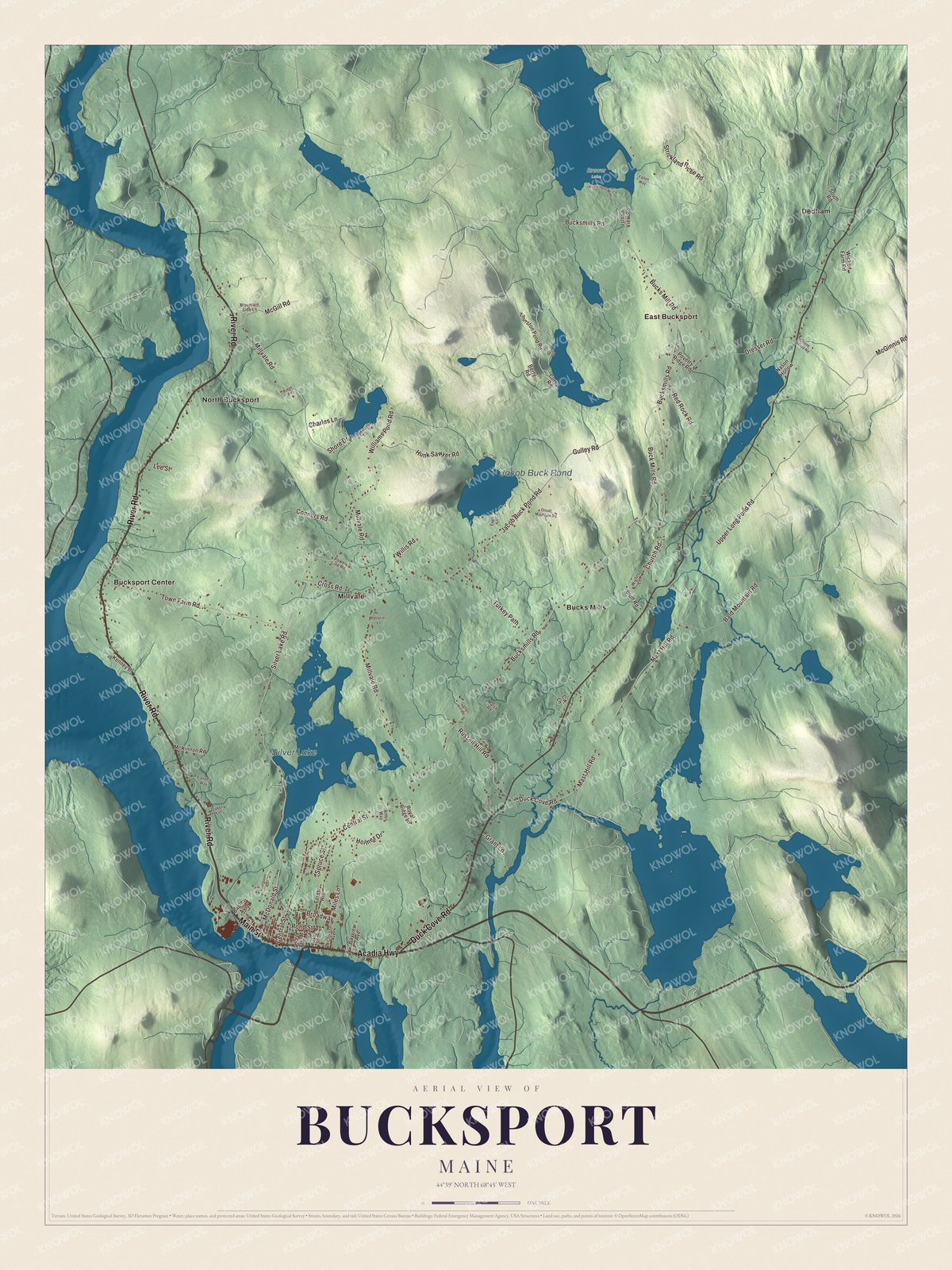
Click to explore a larger preview. The digital watermark does not appear on printed maps.
See it on a wall
The Bucksport map as a framed print. Swipe for more.


Main Street and the roads out of town
Main Street is printed on the map. Along it stands the Jed Prouty Tavern and Inn, a house from around 1780 that became an inn about 1820 for travelers between Bangor and Castine. Its guests included Daniel Webster and Presidents Martin Van Buren and William Henry Harrison. The 1874 railroad station is on Main Street too, one of a small number of surviving rural stations in Maine and now the Bucksport Historical Society’s museum, and so is the James Emery House, built about 1855 on a rise above the Penobscot in a mix of Greek Revival, Gothic Revival and Italianate styles.
Duck Cove Road is printed as well. Just south of where it meets State Route 46 stands the Duck Cove School, a one-room schoolhouse built in 1895 that taught children until 1943 and has been the Duck Cove Community Club’s clubhouse ever since. Silver Lake is printed on the map, and the town’s page describes it as a place for recreation, fishing and birdwatching.
River Road, the Acadia Highway, McGinnis Road and Mast Hill Road are printed, along with Bucks Mills, Bucksport Center, Millvale, East Bucksport, North Bucksport and Jacob Buck Pond. Dedham, the neighboring town to the east, is printed too. Across the river, outside the town, stand Fort Knox and the Penobscot Narrows Bridge.
This Bucksport map makes a handsome addition to an office, library or den, and it can teach children the geography and history of a river town at the head of the bay. It’s made for anyone who calls Bucksport home, from Millvale to East Bucksport, as it looks today. Zoom in on the preview above to explore the details, then click here to get your copy of the Bucksport, Maine map.

Sources