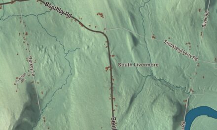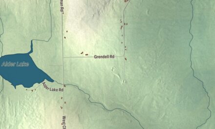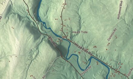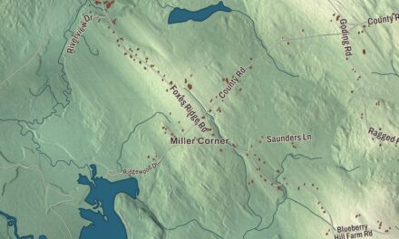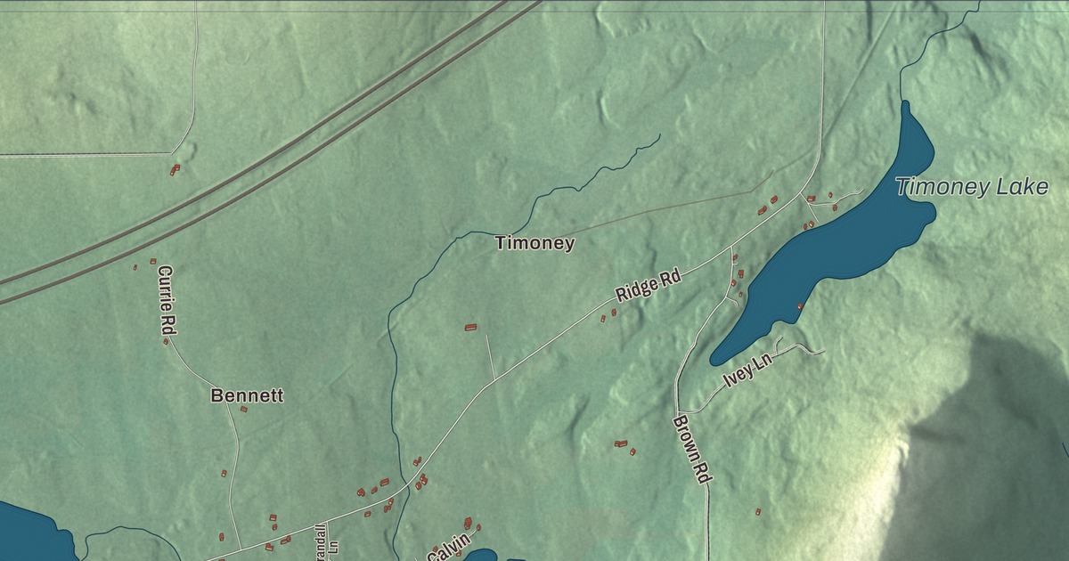
Ridge Road, Main Street and Oakfield Smyrna Road cross this map of Oakfield, the Aroostook County lake town where the Bangor and Aroostook Railroad built a station in 1911. Click here to purchase a print of this map for your wall.
Oakfield is a town in Aroostook County.
KNOWOL made this map in 2026 from public survey records, United States Geological Survey elevation data and Census Bureau files. Its atlas layout brings together Oakfield’s roads, buildings, ponds and waterways, and terrain, the town boundary and the pattern of buildings.
Plantation to town
Oakfield was Township Number Five in the third range west of the state’s east line, known as Oakfield Plantation, until the legislature incorporated it as the town of Oakfield by an act approved on February 24, 1897. The act let the plantation’s officers serve until the new town chose its own, and it gave all the plantation’s property to the town.
The 2020 census counted 661 people. The town covers 18.9 square miles, of which 8.7 square miles is water. The village of Oakfield sits in the northwestern corner of town on both sides of the East Branch of the Mattawamkeag River, with Interstate 95 passing just north of its center. From there it’s 18 miles to the Canadian border at Houlton.
Station, Grange and school
The Bangor and Aroostook Railroad built Oakfield Station on Station Street in 1911, a reminder of the days when Oakfield was an important railroad center. It served passengers until rail service on the line ended in 1961. In 1986 the station was given to the Oakfield Historical Society, which restored it and runs it as the Oakfield Railroad Museum.
The local Grange, organized in 1903, built its hall at 89 Ridge Road in 1906. For many years it was the largest meeting space in town, with dances and parties, town meetings from 1910 to 1964, and Oakfield High School basketball games and plays from 1935 to 1970. The hall has since been torn down. Southern Aroostook Community School in Dyer Brook, which opened in April 1976, serves Oakfield and five neighboring towns, and in 2018 its girls basketball team won the Maine Class D state championship.
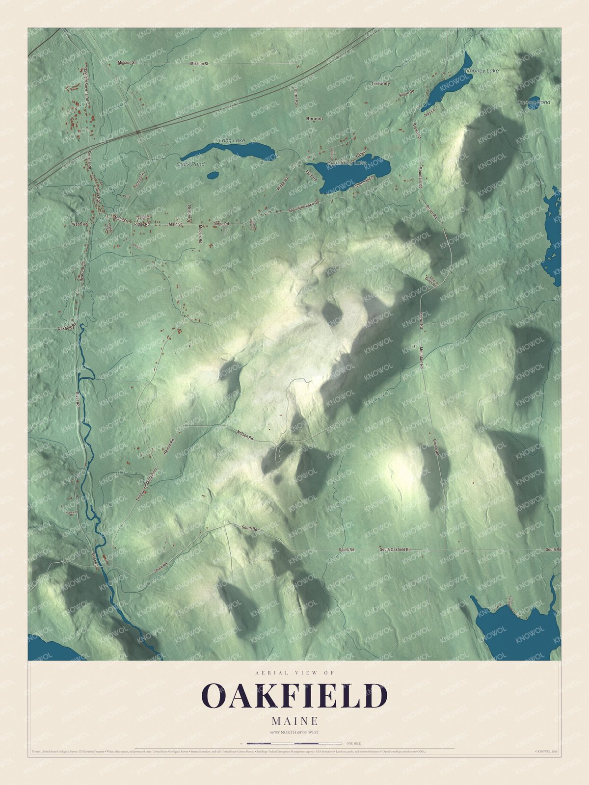
Click to explore a larger preview. The digital watermark does not appear on printed maps.
See it on a wall
The Oakfield map as a framed print. Swipe for more.


Explore the Oakfield map
Start with Timoney, then follow Oakfield Smyrna Road, Main Street, Mooers Road, Ridge Road, Brown Road and Oakfield Road across town. Those names are printed on the artwork. Then look outward toward Bennett.
Spaulding Lake, Timoney Lake, Long Lake and Carson Pond are labeled as well. With nearly half the town under water, follow the shorelines and compare the village houses with the woods and fields around the lakes.
For people who call Oakfield home, this map shows the town as it looks today. Put it in your office, library, or den, or use it to teach children the geography and history of the area. Zoom in on the preview above to explore the details, then click here to get your copy of the Oakfield, Maine map.

Sources