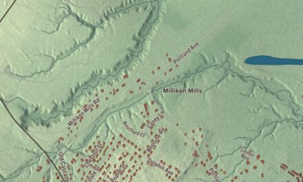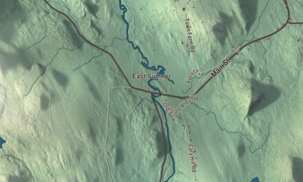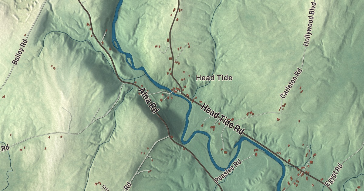
In Alna, the Sheepscot River meets the tide at Head Tide, the village in the north of town. This map prints the river with Head Tide and Alna Center, Pinkham Pond and the Verney-Leighton Marsh, and the roads that cross the town: Alna Road, Head Tide Road, Golden Ridge Road, West Alna Road, Bailey Road and Cross Road. Click here to purchase a print of this map for your wall.
Alna is in Lincoln County, and it had 710 people at the 2020 census.
KNOWOL made this map in 2026 from public survey data and gave it the look of an old atlas. The shaded terrain comes from United States Geological Survey elevation data, and the roads and the town line come from the Census Bureau. The town covers 21.32 square miles, and Maine routes 194 and 218 cross it. Across the Sheepscot to the east lies Newcastle.
New Milford, then Alna
The town was settled around 1760, when it was part of old Pownalborough, and in 1794 it was incorporated as New Milford; the Head Tide district’s page says the name came from the many mills at Head Tide. The residents didn’t like it, and in 1811 they changed it to Alna, Latin for alder, a tree that grows thickly along the banks of the Sheepscot. Alna was also the site of the first fish hatchery in Maine, started shortly after the Civil War.
Two buildings among the oldest of their kind in Maine stand on Alna Road in Alna Center. The Alna Meetinghouse, built in 1789, keeps its original box pews and its pulpit with a sounding board hung from the ceiling, under roof beams 14 to 18 inches thick, and its page counts it among the oldest churches in the state. It saw active use until 1876. South of it, north of Golden Ridge Road, is the Alna School of 1795. It was built by either Moses Carlton or Samuel Averill, each hired by the new town to build a school, and nobody knows which one built this one. It taught children well into the 20th century and later held the town offices, and its page says only the Old Schoolhouse in York is an older school in Maine.
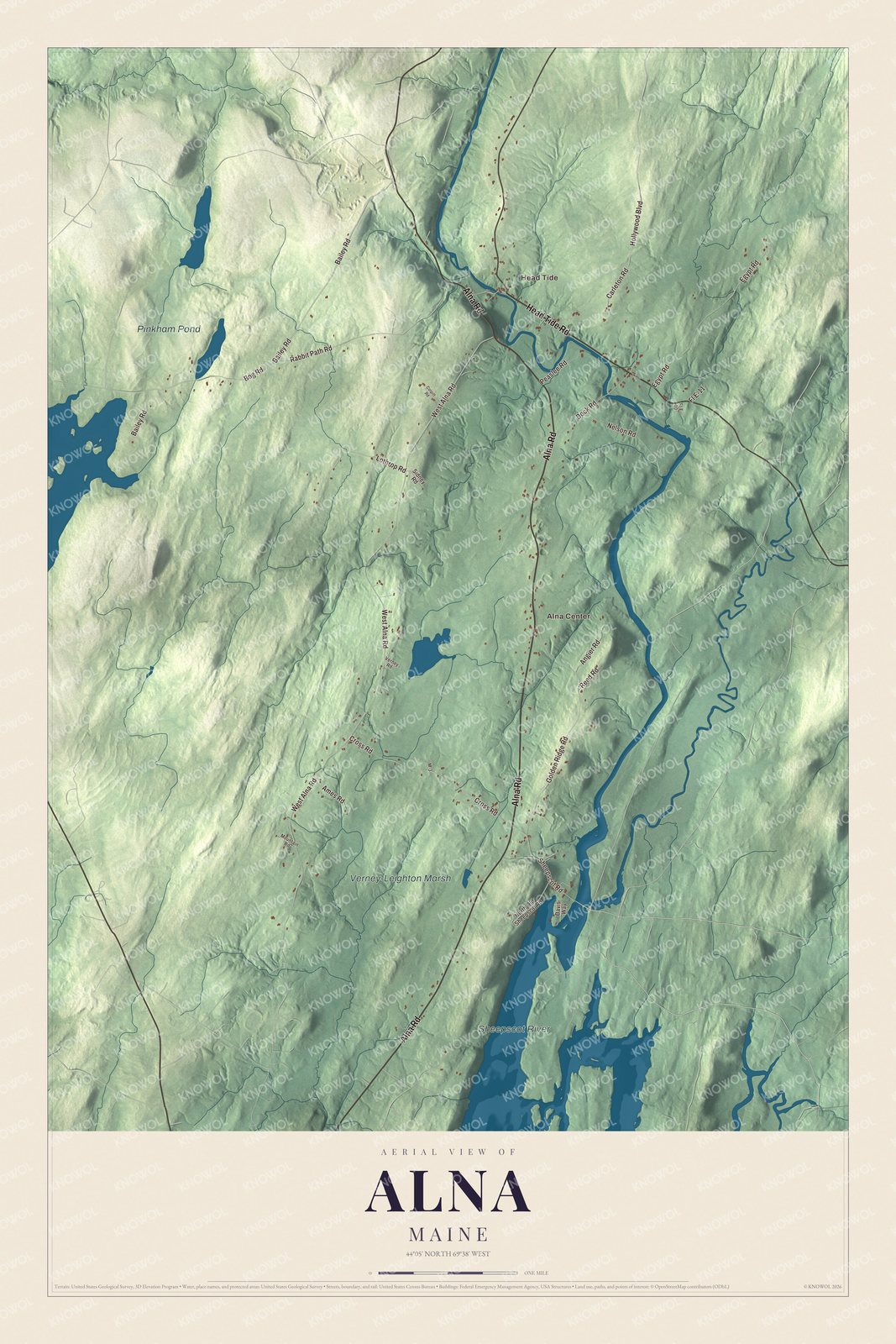
Click to explore a larger preview. The digital watermark does not appear on printed maps.
See it on a wall
The Alna map as a framed print. Swipe for more.


Head Tide
Head Tide is printed on the map, and it sits where its name says, at the head of the tide on the Sheepscot River. Dr. Silvester Gardiner acquired the land in 1761, and one of his early buyers, David Nelson, built the first dam. By the early 19th century, six water wheels there powered lumber, grist and textile work, and the village was the town’s economic center. A freshet in 1896 and a fire in 1924 took the mills, and the last was torn down in 1949, leaving a village of houses mostly built before 1860, with the Head Tide Church of 1838, the old schoolhouse and the 1884 Jewett General Store. It’s been a National Register historic district since 1974. In 2019 the Head Tide Dam was partly breached so fish could pass more easily, and a pedestrian overlook was built on it.
Edwin Arlington Robinson was born in Head Tide on December 22, 1869. His parents didn’t name him for six months, until other guests at a resort drew “Edwin” from a hat; the man who drew it was from Arlington, Massachusetts. He grew up to win the Pulitzer Prize for Poetry three times. Two other sons of Alna went far: Fred H. Albee, born on a farm in the town, learned tree grafting from his uncle and later applied its principles to the bone grafting operations his page credits him with inventing, and John T. Averill, born in Alna in 1825, became an Army officer in the Civil War and a congressman from Minnesota.
The narrow gauge
From 1895 to 1933 the two-foot Wiscasset, Waterville and Farmington Railway ran three stations in Alna: Head Tide, Alna Center and Sheepscot. A spur called “Top of Mountain” sat atop the uphill grade from Head Tide to Alna. Sheepscot is now the base of the Wiscasset, Waterville and Farmington Railway Museum, founded in 1989, which has rebuilt 3.5 miles of the line in Alna and runs two-foot gauge steam and diesel trains. Where Alna Road meets Dock Road, The Alna Store was named by The New York Times one of America’s Best Restaurants in 2024.
This Alna map makes a handsome addition to an office, library or den, and it can teach children the geography and history of a town that took its name from the alders along its river. It’s made for anyone who calls Alna home, from Head Tide to the Verney-Leighton Marsh. Zoom in on the preview above to explore the details, then click here to get your copy of the Alna, Maine map.

Sources