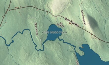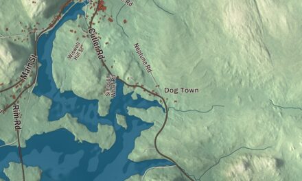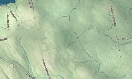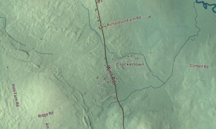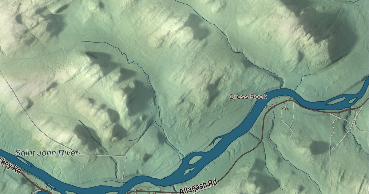
Allagash is where the Allagash River meets the Saint John, in the North Maine Woods. This map prints the Saint John River and Little Falls Pond, Cross Rock and Dickey, and the roads between them: Allagash Road, Dickey Road, Hafey Road, Walker Brook Road, Lois Lane and Inn Road. Click here to purchase a print of this map for your wall.
Allagash is in Aroostook County, and it had 237 people at the 2020 census.
KNOWOL made this map in 2026 from public survey data and gave it the look of an old atlas. The shaded terrain comes from United States Geological Survey elevation data, and the roads and the town line come from the Census Bureau. The Census Bureau counts 131.42 square miles here, 128.61 of them land, and the town page says that makes Allagash the largest town in Maine by land area. Count the water too, and Vinalhaven and St. George on the coast are bigger.
Bark stream
The name comes from the Abenaki language spoken by the Penobscot. The river’s page gives the word as “bark stream.” The Allagash runs about 65 miles out of Churchill Lake, flowing generally northeast through a chain of lakes in the North Maine Woods, and it joins the Saint John from the south at Allagash, near the border with New Brunswick. Its page says the river’s unspoiled nature has long drawn canoe trips. In 1857 Henry David Thoreau went up it with his friend Edward S. Hoar and the Penobscot guide Joseph Polis, and his account became a chapter of The Maine Woods. In 1966 Maine’s voters approved a bond to protect the river’s wilderness character, and much of it became the Allagash Wilderness Waterway, a 92.5-mile ribbon of lakes, ponds, rivers and streams. In 1970 it joined the national Wild and Scenic Rivers program.
The waterway’s page remembers Dave Jackson, a game warden from 1929 who patrolled for days at a time on snowshoes and by canoe and routinely ran canvas canoes through the rapids at the mouth of the Allagash. As a boy he had freighted supplies up the Saint John in pine pirogues.
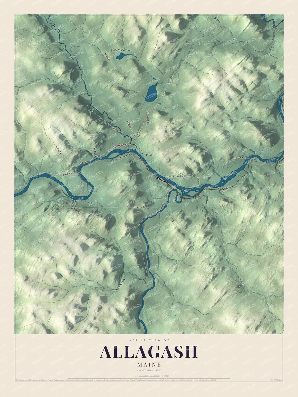
Click to explore a larger preview. The digital watermark does not appear on printed maps.
See it on a wall
The Allagash map as a framed print. Swipe for more.


Allagash people
Allagash was organized as a plantation in 1886 and became a town in 1966, when the Legislature converted Allagash Plantation into the Town of Allagash. The novelist and songwriter Cathie Pelletier was born and raised in Allagash. She wrote her first novel, The Funeral Makers, while living in Tennessee, and she has received the New England Book Award for Fiction and the 2006 Paterson Prize; her novel Candles on Bay Street was translated into ten languages and made into a film. Troy Jackson, a logger, grew up in Allagash, went to Allagash Consolidated School and served as president of the Maine Senate from 2018 to 2024.
Cross Rock and Dickey are printed on the map, and so is Little Falls Pond. The Saint John River is printed too. It rises in the forests of Maine and Quebec, and its page says the spring ice jams on the upper river scour the banks down to bedrock and thin soil that holds one of the highest concentrations of rare plants in Maine.
This Allagash map makes a good addition to an office, library or den, and it can teach children the geography and history of a town where two rivers meet. It’s made for anyone who calls Allagash home, from Dickey to Cross Rock. Zoom in on the preview above to explore the details, then click here to get your copy of the Allagash, Maine map.

Sources
- Allagash, Maine, Wikipedia
- List of municipalities in Maine, Wikipedia
- Maine Private and Special Laws 1965, chapter 242
- Maine Private and Special Laws 1965, chapter 242
- Allagash River, Wikipedia
- Allagash Wilderness Waterway, Wikipedia
- Saint John River (Bay of Fundy), Wikipedia
- Cathie Pelletier, Wikipedia
- Troy Jackson (politician), Wikipedia