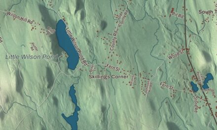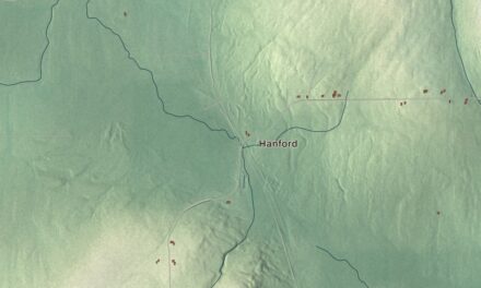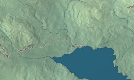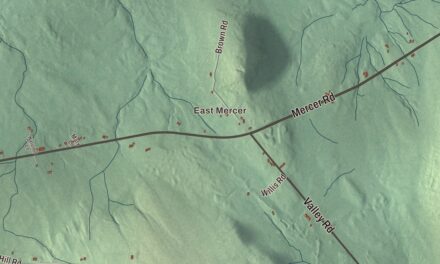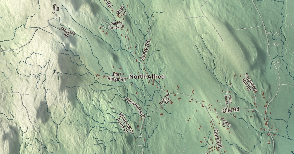
In Alfred, Oak Street and Waterboro Road meet at the heart of the old village. This map prints both, along with Sanford Road, Biddeford Road, Old Kennebunk Road, Jordan Springs Road, North Alfred and Estes Lake. Click here to purchase a print of this map for your wall.
Alfred is in York County, and it’s the county seat, with 3,073 people at the 2020 census.
KNOWOL made this map in 2026 from public survey data and gave it the look of an old atlas. The shaded terrain comes from United States Geological Survey elevation data, and the roads and the town line come from the Census Bureau. The town is drained by the Middle Branch of the Mousam River, the Littlefield River, Hay Brook and Trafton Brook, and its highest point is on Fort Ridge, at 1,020 feet, on the Shapleigh line. Part of the Massabesic Experimental Forest lies in town.
The shire town
The Abenaki called this country Massabesic, “large pond” or “the place of much water.” It was the western part of a large tract that Major William Phillips, a mill owner in Saco, bought from the chiefs Fluellin, Hombinowitt and Meeksombe, also known as Captain Sunday, between 1661 and 1664. Simeon Coffin of Newbury, Massachusetts, came in 1764 and lived for a time in a wigwam, though the first permanent settlement dates to 1770. The north parish of Sanford was set off as a district on February 4, 1794, built a log jail in 1803 and a courthouse in 1806, the year it became the shire town of York County, and was incorporated as a town in 1808, named for King Alfred the Great.
The village grew around the courts. The Alfred Historic District, on the National Register of Historic Places since 1983, spreads out from the junction of Oak Street with the Kennebunk, Waterboro and Saco roads, and its page says a number of prominent lawyers made their homes there to be near the courthouse. The most famous was John Holmes, who arrived in 1794 and was influential in making Alfred the county seat. He became a United States senator and, his house’s page says, a major proponent of statehood for what was then the District of Maine. His 1802 house on Main Street is called the Bow and Arrow house for the balustrade that once crowned it, said to be a nod to his Native American ancestry on his mother’s side. The district also holds the Greek Revival Alfred Parish Church of 1834, the Italianate Town Hall of 1862 and the Old County Jail of 1871. A few miles north of the village, the Lord-Dane House was built about 1803 by Tobias Lord, a ship’s captain and merchant from Kennebunk who married an Alfred native, and Nathan Dane, later state treasurer, lived there from 1830 to 1868.
The Rochester and Portland Railroad came in from Waterboro in 1864 and reached Rochester, New Hampshire, in 1871. More than 30 trains a day passed through Alfred between 1910 and 1920. Passenger service ended in 1949, and the last train left in 1961.
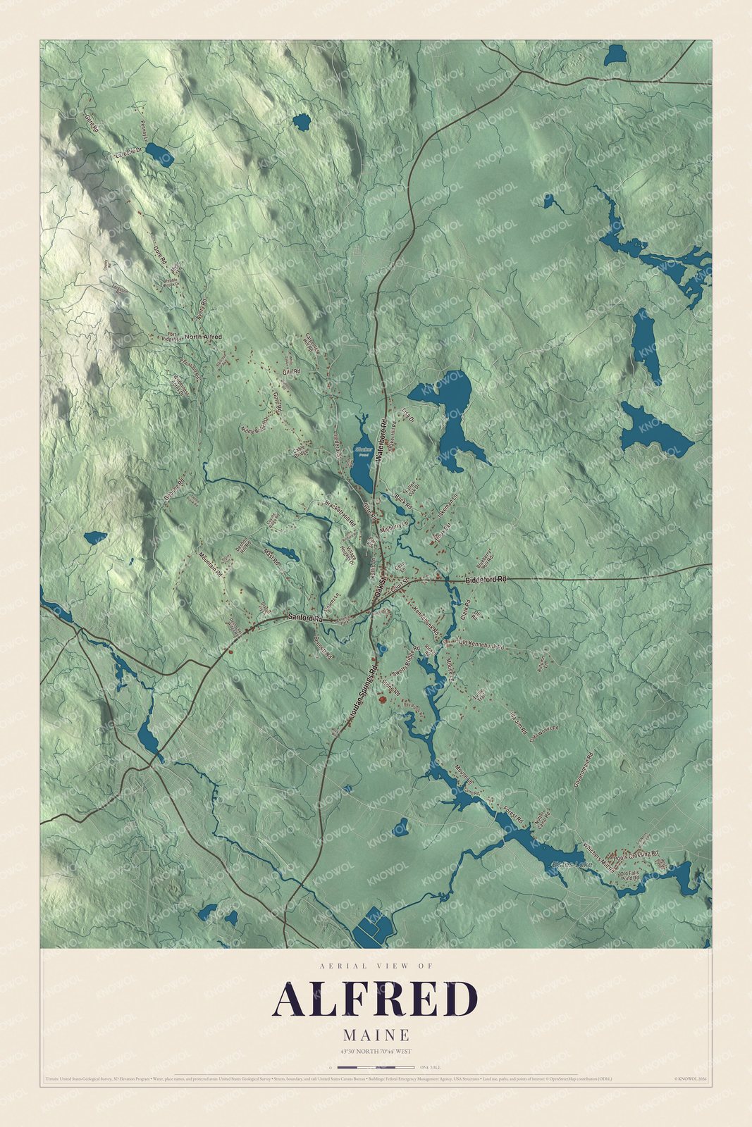
Click to explore a larger preview. The digital watermark does not appear on printed maps.
See it on a wall
The Alfred map as a framed print. Swipe for more.


The Shakers of Alfred
In 1783, members of the Shaker Church settled on the hill near Massabesic Pond, now Shaker Pond, the same year John Cotton became Maine’s first Shaker, and outsiders called them the “Merry Dancers” for their worship. They built a meetinghouse in 1793, and their historic district’s page calls the village Maine’s oldest and largest Shaker community. Hundreds of people lived on its 300 acres along both sides of Shaker Hill Road, with a school, gardens and orchards, a grist and saw mill, barns, a dairy and shops. They made brooms, brushes, cloth, woodenware, spinning wheels, horsehair sieves and oval carriers, and gathered seeds and herbs for medicine.
Alfred was home to the elders of the Shaker bishopric for all of Maine, and in 1848 that ministry included Elder Joseph Brackett. By most accounts he wrote “Simple Gifts” that year, a Shaker dancing song that was little known outside the Shakers until Aaron Copland used the melody in Appalachian Spring in 1944. The village closed in March 1931, and its last members moved to Sabbathday Lake. One of them was Mildred Barker, who had come to Alfred as a child in 1903 and stayed when her mother came back for her in 1911. She spent her life preserving Shaker music and received a National Heritage Fellowship in 1983. The Brothers of Christian Instruction bought the property in 1931, and the Alfred Shaker Museum keeps the story in a gatehouse of the old village. The district joined the National Register in 2001.
Around the town
North Alfred is printed on the map. A short way north of it on Gore Road stands the District No. 5 School, built in 1872, which got its belfry in 1900 after the students raised $12 for a bell from Sears, Roebuck. It closed as a school in 1921, served for years as a community center, and has been restored to how it looked at its closing. Estes Lake is printed too. The Mousam River’s page lists the Estes Lake Dam, completed in 1905, in Sanford. One more Alfred story the town page tells: Enrique Peña Nieto, president of Mexico from 2012 to 2018, learned English as a schoolboy in Alfred.
This Alfred map makes a handsome addition to an office, library or den, and it can teach children the geography and history of York County’s shire town. It’s made for anyone who calls Alfred home, from Shaker Hill Road to North Alfred. Zoom in on the preview above to explore the details, then click here to get your copy of the Alfred, Maine map.

Sources