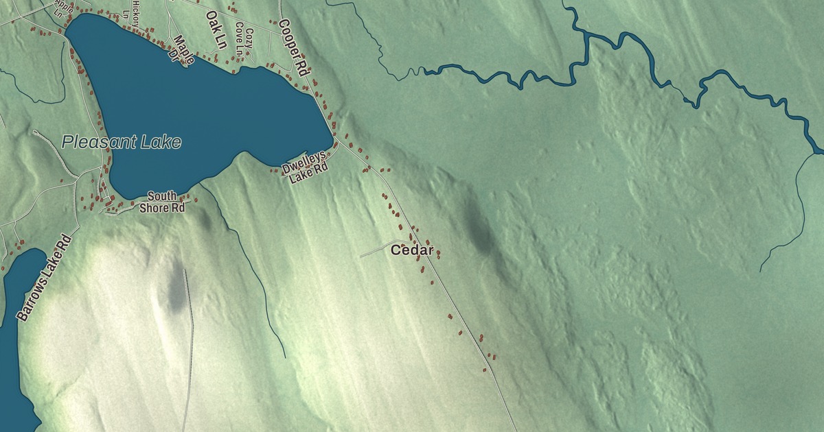
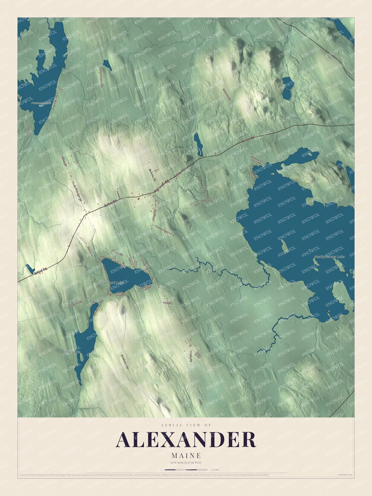
Alexander is a small Washington County town with a share of a big lake. This map prints Meddybemps Lake, Pleasant Lake and Barrows Lake, and the roads people here use every day: Airline Road, Alexander Road, South Princeton Road, Cooper Road, Arm Road and Fish House Lane, with Cedar among them. Click here to purchase a print of this map for your wall.
Alexander is in Washington County, and it had 525 people at the 2020 census.
KNOWOL made this map in 2026 from public survey data and gave it the look of an old atlas. The shaded terrain comes from United States Geological Survey elevation data, and the roads and the town line come from the Census Bureau, which counts 45.65 square miles in town, 5.51 of them water.
A banker’s name
Alexander was incorporated in 1825, and it’s named for Alexander Baring, 1st Baron Ashburton. Baring came from the London banking family behind Baring Brothers, and his page says he was sent to the United States for land deals, and that he married Ann Louisa Bingham of Philadelphia, daughter of the senator William Bingham. In 1842, long after the town took his name, he was sent back to America as the British negotiator of the Webster-Ashburton Treaty, worked out in Washington with Secretary of State Daniel Webster. It settled the northeastern boundary of Maine, and the town page says it ended the Aroostook War of 1838 and 1839.
Click to explore a larger preview. The digital watermark does not appear on printed maps.
See it on a wall
The Alexander map as a framed print. Swipe for more.


On Meddybemps Lake
Meddybemps Lake, printed on the map, covers about 6,765 acres and holds numerous islands, and it reaches 58 feet at its deepest. Four towns share it: Alexander, Baileyville, Baring and Meddybemps. Its page says it’s well known for smallmouth bass fishing. The lake’s outflow, in the town of Meddybemps, is the start of the Dennys River, which runs about 23 miles to Dennysville, where it meets the tide; the river’s page says it was named for an Indian hunter. Pleasant Lake and Barrows Lake are printed too, and so are Cedar and Fish House Lane.
This Alexander map makes a fine addition to an office, library or den, and it can teach children the geography and history of a town named for a treaty maker. It’s made for anyone who calls Alexander home, from Cedar to the shore of Meddybemps Lake. Zoom in on the preview above to explore the details, then click here to get your copy of the Alexander, Maine map.

Sources