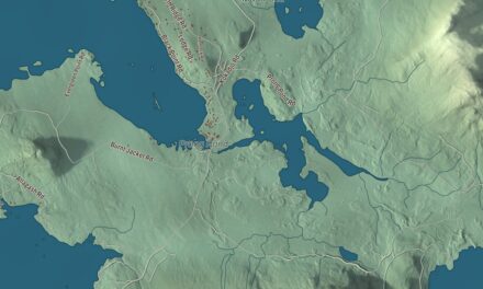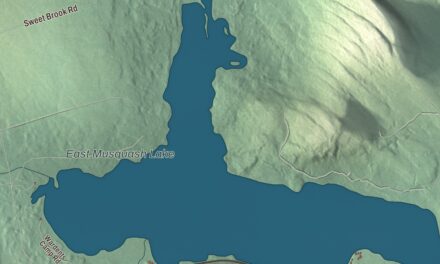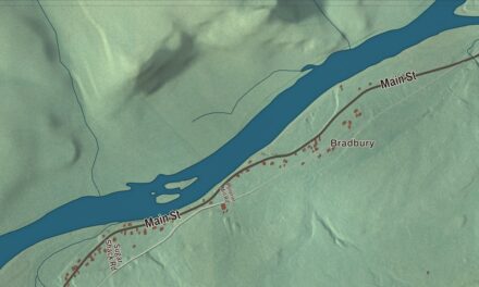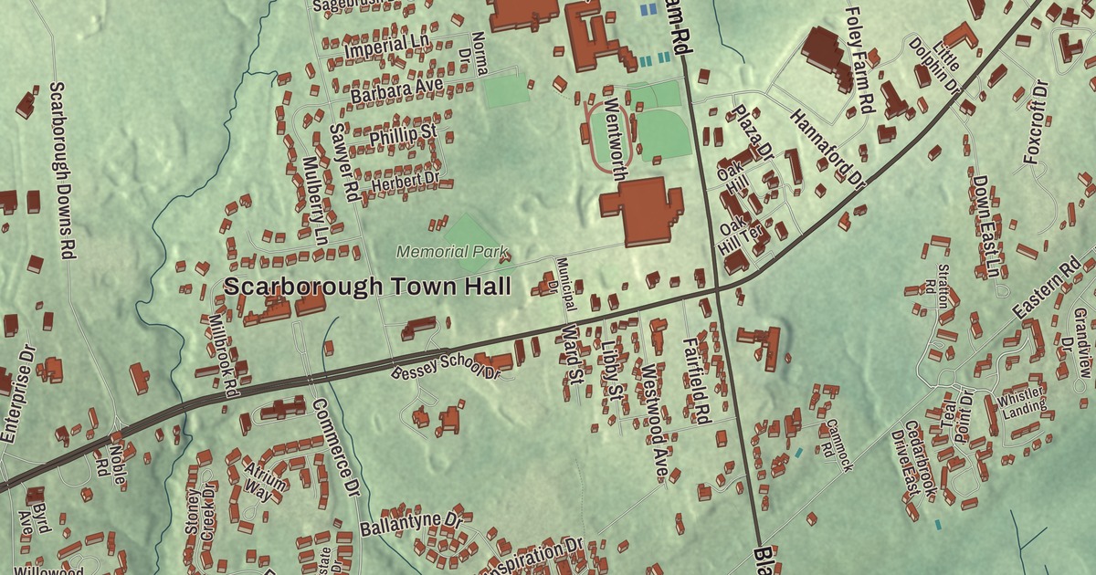
Scarborough Town Hall is the place to start on this map of Oak Hill. The village is the town center of Scarborough, in Cumberland County. Click here to purchase a print of this map for your wall.
Oak Hill is a named community in Cumberland County.
KNOWOL made this map in 2026 from public survey records, United States Geological Survey elevation data and Census Bureau files. Its atlas layout brings together Oak Hill’s streets, buildings, waters and terrain. The community is mapped with its own boundary. The finished artwork gives Oak Hill its own place title.
Scarborough’s town center
Oak Hill holds Scarborough’s town hall, its high school and its shopping plazas. It’s a census-designated place, and before the 2020 census it was counted under the name Scarborough. That census found 5,846 people living in its 5.0 square miles, nearly all of it land.
Scarborough’s history goes back to about 1630. In 1631 the Plymouth Council for New England granted the Black Point Patent to Captain Thomas Cammock, and by 1650 settlements at Black Point, Blue Point, Dunstan and Stratton Island had fifty homes. On July 14, 1658, the Massachusetts General Court incorporated them as Scarborough, named for Scarborough in Yorkshire, England. War emptied the town more than once, but the second settlement lasted, and by 1749 it was prosperous, shipping cattle and timber, with a dozen sawmills on its streams.
The Hunnewell House, on a small wooded triangle formed by Black Point Road, Old County Road and Winnocks Neck Road in central Scarborough, is one of the oldest surviving buildings in Maine. Richard Hunnewell probably built it in 1702 or 1703, though some accounts give an earlier date. It sat abandoned for many years until the local Rotary Club established its importance in 1971, and it was given to the town and moved to its present spot in 1973.
Brooks into the marsh
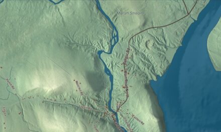
The Nonesuch River, 24.9 miles long, rises in Saco and flows through Scarborough, and it’s the primary source of fresh water for Scarborough Marsh, the largest salt marsh in the state. It’s a small, winding river, tidal in its lower reaches, and at one point a canal was made along its course by digging a shallow ditch and letting the tide carry the loose soil out to sea. Mill Brook is another of the marsh’s main waterways.
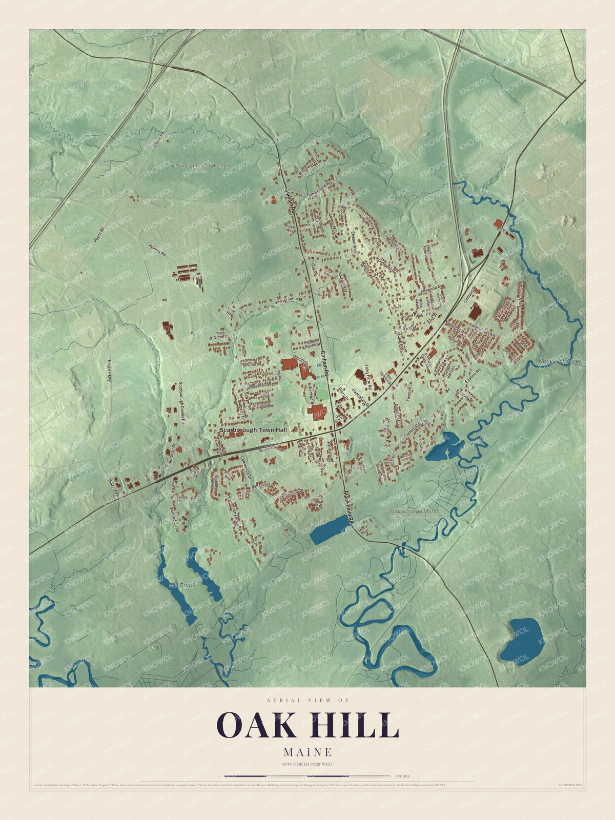
Click to explore a larger preview. The digital watermark does not appear on printed maps.
See it on a wall
The Oak Hill map as a framed print. Swipe for more.


Explore the Oak Hill map
Start with Scarborough Town Hall, then follow Gorham Road, Black Point Road, Hannaford Drive, Plaza Drive, Commerce Drive and Asselyn Drive across the community. Those names are printed on the artwork, and Mill Brook, the Nonesuch River and Memorial Park are labeled too. Compare the shopping plazas with the neighborhoods and woods around them.
For people who call Oak Hill home, this map shows the community as it looks today. Put it in your office, library, or den, or use it to teach children the geography and history of the area. Zoom in on the preview above to explore the details, then click here to get your copy of the Oak Hill, Maine map.

Sources