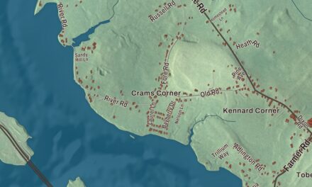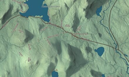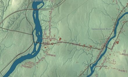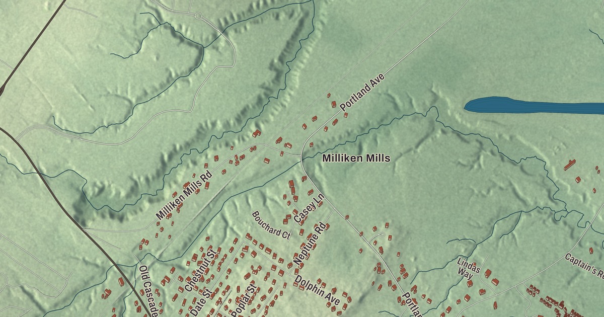
West Grand Avenue, East Grand Avenue and Portland Avenue carry you through this map of Old Orchard Beach, the Saco Bay resort town named for a settler’s apple orchard. Click here to purchase a print of this map for your wall.
Old Orchard Beach is a town in York County.
KNOWOL made this map in 2026 from public survey records, United States Geological Survey elevation data and Census Bureau files. Its atlas layout brings together Old Orchard Beach’s streets, buildings, beach, waters and terrain, the town boundary and the pattern of buildings.
Thomas Rogers’ orchard
Abenaki people lived here long before Europeans came, and English explorer Martin Pring visited the mouths of the Saco and Goosefare rivers in 1603. Thomas Rogers came to the Goosefare Brook area in the 1630s and called his farm the Garden by the Sea. The town takes its name from his apple orchard. His family later left, but the orchard survived about 150 years as a landmark for sailors offshore. Old Orchard, long part of Saco, was set off and incorporated as a town on February 20, 1883.
An 1886 gazetteer said the beach had been called the finest in New England: hard, smooth sand curving about nine miles from near the mouth of the Saco to Pine Point. Today the town’s seven-mile beach reaches into Scarborough and Saco.
Boarders, a pier and the Temple
The Old Orchard Beach Inn, at 8 Portland Avenue across from the town hall, grew from an 18th-century farmhouse that Elisha Staples bought in 1790. His grandson Ebenezer began taking in summer boarders, and by the 1870s the place was one of the largest in town, with 300 beds. It’s the oldest known property to have regularly kept summer boarders, with a record that goes back to 1840.
A steel pier opened on July 2, 1898, with the Pier Casino at its end, a ballroom with room for 5,000 dancers. Between the wars the Casino booked Guy Lombardo, Louis Armstrong, Benny Goodman, Xavier Cugat and Frank Sinatra. Storms shortened the pier more than once, and the pier you walk today, 500 feet long, was built in 1980. Palace Playland has run its rides on the same beachfront site since 1902.
At Ocean Park, at the south end of town, Free Will Baptists led by Bates College president Oren B. Cheney started a summer camp meeting in 1881, sometimes called Chautauqua-by-the-Sea. Its centerpiece, the Temple, built in 1881 on Temple Avenue, is the only known octagonal religious building in use in Maine. Porter Hall, the 1882 Bell Tower and B. C. Jordan Memorial Hall stand beside it in Temple Square.
The Cummings’ Guest House
In 1917 Rose and Edward Cummings Jr. bought 110 Portland Avenue and became Old Orchard Beach’s first African American residents. In 1923 they opened their home, The Homestead, as a summer guest house for African American travelers. In the Jim Crow era, Black performers who played the Casino were turned away by area hotels, and the Cummings family welcomed them. Duke Ellington, Cab Calloway, Count Basie, Lionel Hampton and Harry Carney stayed there, W.E.B. Du Bois spent a summer, and poet Countee Cullen later dedicated a children’s story to the cat of their daughter Ann. The family ran the guest house until 1993, and it was listed on the National Register of Historic Places in 2004.
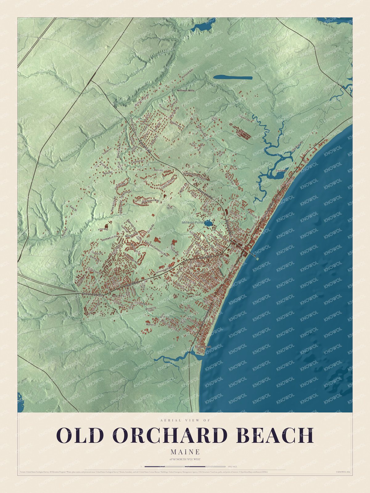
Click to explore a larger preview. The digital watermark does not appear on printed maps.
See it on a wall
The Old Orchard Beach map as a framed print. Swipe for more.


Explore the Old Orchard Beach map
Start with Milliken Mills and Ocean Park, then follow Saco Avenue, East Grand Avenue, Portland Avenue, West Grand Avenue, Cascade Road and Ocean Park Road across town. Those names are printed on the artwork. Then look outward toward Pine Park and Surfside, and find Milliken Pond, which is labeled too.
Portland Avenue is State Route 8. Follow it past the inn and the guest house, then trace the long line of the beach along Saco Bay.
For people who call Old Orchard Beach home, this map shows the town as it looks today. Put it in your office, library, or den, or use it to teach children the geography and history of the area. Zoom in on the preview above to explore the details, then click here to get your copy of the Old Orchard Beach, Maine map.

Sources