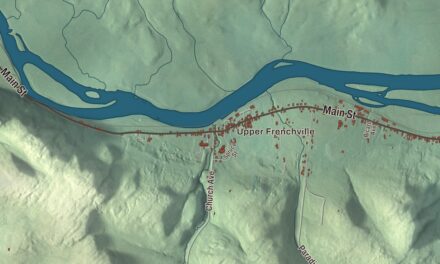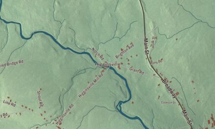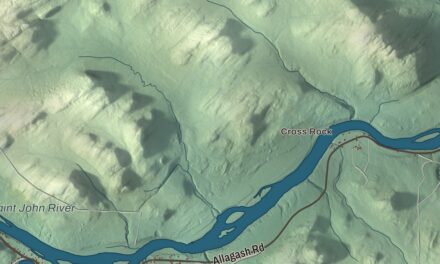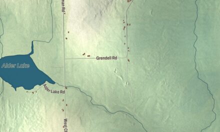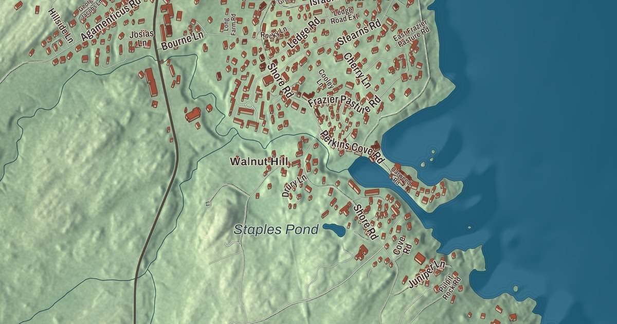
Main Street and Perkins Cove Road run through this map of Ogunquit, the York County town where fishermen and artists once worked side by side around the cove. Click here to purchase a print of this map for your wall.
Ogunquit is a town in York County.
KNOWOL made this map in 2026 from public survey records, United States Geological Survey elevation data and Census Bureau files. Its atlas layout brings together Ogunquit’s roads, buildings, ponds and waterways, and terrain, the town boundary and the pattern of buildings.
Fish Cove and Perkins Cove
Ogunquit was first a village of Wells, which colonists settled in 1641. The first sawmill there was built in 1686, and shipwrights along the tidal Ogunquit River built schooners, brigs and dories. Fishing was the main living at what was then Fish Cove, but the cove had no headland or breakwater against Atlantic storms, and fishermen had to haul their boats ashore every night. They formed the Fish Cove Harbor Association, bought land and dug a channel to connect the cove with the Josias River, and erosion widened it. The basin they made is Perkins Cove, named for the Perkins family’s boardinghouse and crossed today by a wooden double-leaf drawbridge for people on foot.
Maine’s largest art colony
In 1888 a bridge across the Ogunquit River joined the mainland to the town’s mile-and-a-half beach of fine pale sand and dunes, and artists found the village. Charles Herbert Woodbury founded his summer school here in 1898, and Edward Hopper was among its students. In 1911 Hamilton Easter Field and the young sculptor Robert Laurent built a studio and opened the Ogunquit Summer School of Graphic Arts, renting old fish shacks to artists as studios. Together the two schools turned a town of fewer than 1,000 people into Maine’s largest art colony, and it wasn’t unusual to see artists and fishermen working side by side around Perkins Cove.
Woodbury, Gertrude Fiske and other local artists founded the Ogunquit Art Association in 1928. Artist and collector Henry Strater, who bought land in Ogunquit once owned by Woodbury, opened the Ogunquit Museum of American Art on July 25, 1953, near Perkins Cove, with sculpture gardens overlooking Narrow Cove. Its collection now holds more than 3,000 works.
Walter and Maude Hartwig started the Ogunquit Playhouse in a garage in 1933 and built the playhouse at 10 Main Street in 1937. It’s one of the last summer stock theaters still producing musical theater. The Ogunquit Memorial Library on Shore Road, built in 1897 as a gift from Mrs. George Conarroe in honor of her husband, is one of the finest examples of Richardsonian Romanesque architecture in southern Maine.
A town of its own
Ogunquit left Wells and was incorporated as a town in 1980. The Marginal Way, a footpath from the 1920s, runs about a mile and a quarter along the rocky shore from Perkins Cove toward the beach, and it was added to the National Register of Historic Places in 2022. Ogunquit is also a destination for LGBT travelers, with numerous LGBT-owned hotels, restaurants and theaters. Readers of USA Today named it America’s Best Coastal Small Town in 2016, and Ogunquit Beach is even the name of a geologic unit on Mars that was once underwater or on the shore of an ancient lake.
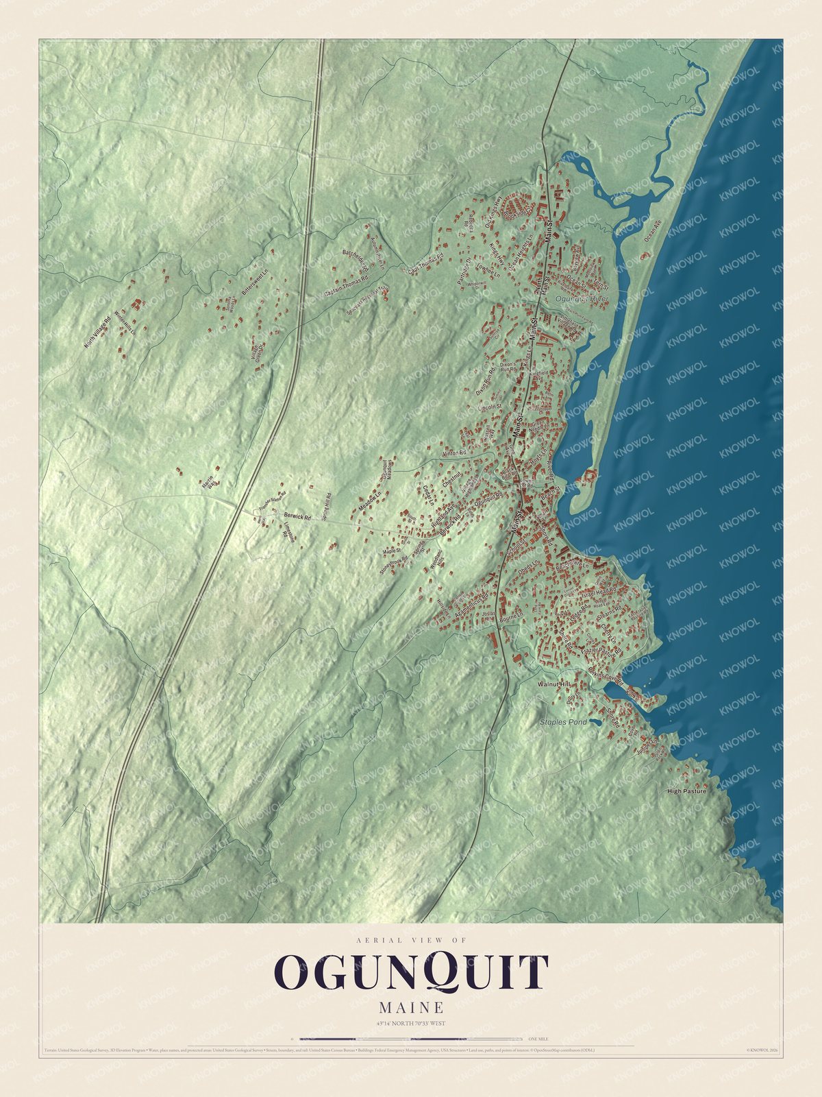
Click to explore a larger preview. The digital watermark does not appear on printed maps.
See it on a wall
The Ogunquit map as a framed print. Swipe for more.


Explore the Ogunquit map
Start with Walnut Hill and High Pasture, then follow Main Street, Berwick Road, Highland Avenue, Perkins Cove Road, Ogunquit Road and Partridge Drive across town. Those names are printed on the artwork, and the Ogunquit River and Staples Pond are labeled too. Follow the river behind the dunes to the sea, and compare the tight streets of the village with the rocky shore.
For people who call Ogunquit home, this map shows the town as it looks today. Put it in your office, library, or den, or use it to teach children the geography and history of the area. Zoom in on the preview above to explore the details, then click here to get your copy of the Ogunquit, Maine map.

Sources