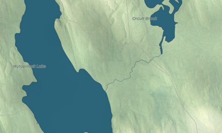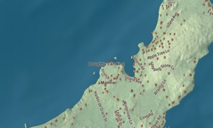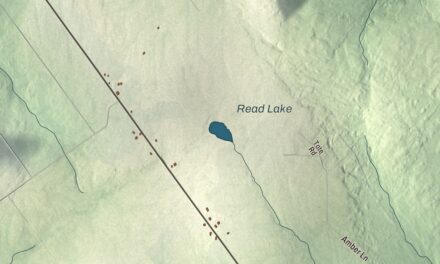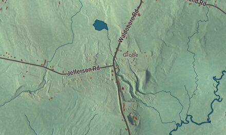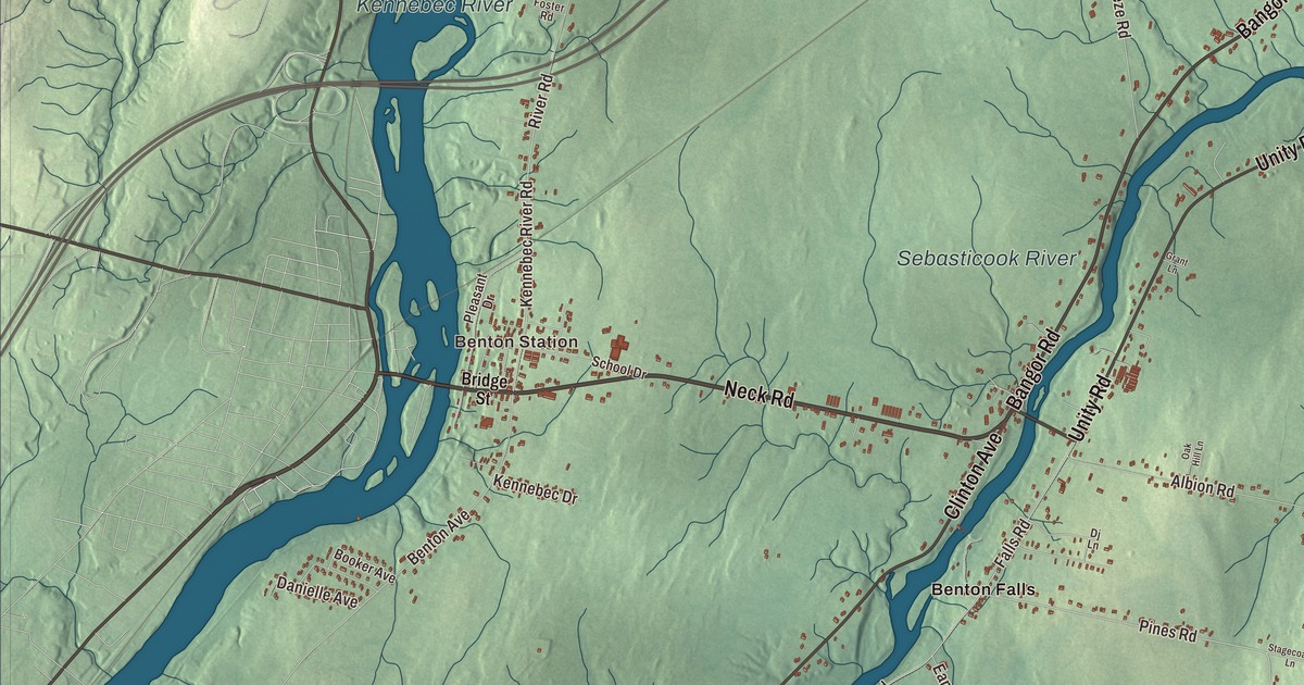
Two rivers are printed on this map of Benton, the Kennebec River and the Sebasticook River, and so is Fifteenmile Stream. The villages are here by name too: Benton Station, Benton Falls, East Benton and Goodwin Corner. So are Neck Road, Bangor Road, Unity Road, Clinton Avenue, Falls Road and Lord Road. Click here to purchase a print of this map for your wall.
Benton is a town in Kennebec County, with 2,715 people at the 2020 census.
KNOWOL made this map in 2026 from public survey data, then gave it the soft color and type of an old atlas. United States Geological Survey elevation data shapes the relief, and the Census Bureau supplies the roads and the town line; by its count Benton covers 29.06 square miles, 0.65 of them water.
A town set off from Clinton
Benton was formed in 1842 as a subdivision of the town of Clinton, and it took its name from Thomas Hart Benton, the Missouri senator. The town page lists four villages: Benton, Benton Falls, Benton Station and East Benton. On Unity Road, the Colcord Farmstead, now Longmeadows Farm, traces its start to 1786, when the Kennebec Proprietors, the area’s first landowners, sold most of its land as a single lot.
The Benton Grange was organized in 1906 and met in the local school at first. In 1915 it built its own hall at 29 River Road, at the corner of School Drive in the village center, to a design by the Fairfield architect Frank M. Gifford. It’s one of the town’s largest buildings, with a big auditorium upstairs, and from 1915 to 1990 it held the annual town meeting. The hall was listed on the National Register of Historic Places in 2004, and its page says the Grange chapter is still active.
Several people born in Benton made names for themselves. Frank W. Haskell, born here in 1843, was a sergeant major in the 3rd Maine Volunteer Infantry, and he received the Medal of Honor for taking command of part of his regiment at Fair Oaks, Virginia, in 1862 after its officers had been killed or disabled. Amos F. Gerald, born in Benton the year before, built 125 miles of Maine’s early railways and was nicknamed the state’s “Electric Railway King.” Asher Hinds, born here in 1863, served as clerk at the Speaker’s table in the House of Representatives, compiled the volumes known as Hinds’ Precedents and was elected to Congress three times. Albert W. Grant, born at East Benton in 1856, rose to admiral and commanded Battleship Force 1 of the Atlantic Fleet in World War I.
Brian L. Buker grew up in Benton too. Serving as a Special Forces sergeant in Vietnam in 1970, he led his platoon against two fortified bunkers and destroyed both, the second after he had been seriously wounded. He was killed in that battle at 20 and was posthumously awarded the Medal of Honor. He’s buried at Brown Cemetery in his hometown.
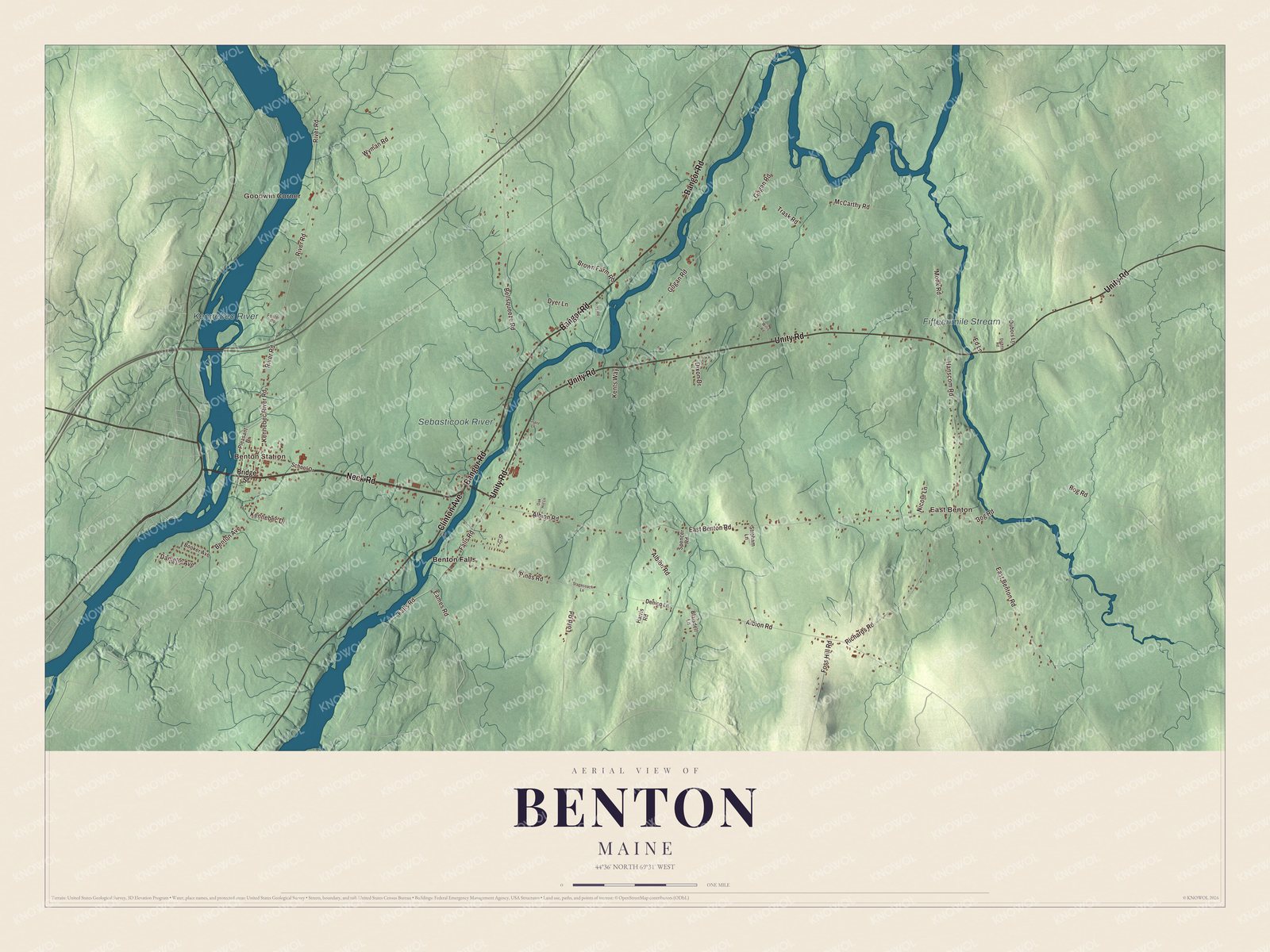
Click to explore a larger preview. The digital watermark does not appear on printed maps.
See it on a wall
The Benton map as a framed print. Swipe for more.


Along the Sebasticook
The Sebasticook River is printed on the map. It runs 76 miles from its source in Dexter down to the Kennebec River in Winslow, and the Sebasticook Regional Land Trust calls it the largest tributary of the Kennebec. The land trust says the river once gave alewives, blueback herring, American shad, rainbow smelt and striped bass much of the spawning and nursery water they had in the Kennebec watershed.
Benton Falls is printed too. The G.W. Reed Travellers Home there is a two-story house built about 1813 by David Reed, and it served as a stop for travelers on the road along the south side of the Sebasticook and as a meeting place for the local militia.
Unity Road is printed as well. It carries State Route 139, and at number 184 the Colcord Farmstead spreads over about 194 acres, bounded on the west by the Sebasticook and running east across the road. John Colcord built the Italianate farmhouse in 1882 and a three-story bank barn of sawn and hand-hewn timbers, and the shop between them is the oldest building on the farm, from the early 1800s. The farm passed through thirteen owners before the 21st century; the Brown family has owned it since 1937.
Benton Station, East Benton and Goodwin Corner are printed on the map, along with Fifteenmile Stream and the Kennebec River. Neck Road, Bangor Road, Falls Road and Lord Road are printed too, and Clinton Avenue shares its name with the town Benton came from.
This map of Benton makes a handsome addition to an office, library or den, and it can teach children the geography and history of a river town. It’s made for anyone who calls Benton home, from Benton Falls to East Benton, as it looks today. Zoom in on the preview above to explore the details, then click here to get your copy of the Benton, Maine map.

Sources