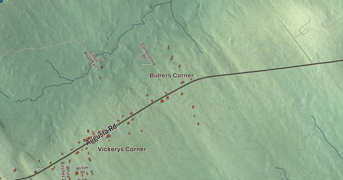
Belmont is a town of corners. This map prints five of them, Butlers Corner, Belmont Corner, Greers Corner, Halls Corner and Center Belmont, along with its roads: Augusta Road, Searsmont Road, Morrill Road, Northport Road, Halls Corner Road and Tunk Woods Road. Tilden Pond is printed as well. Click here to purchase a print of this map for your wall.
Belmont is a town in Waldo County, home to 976 people at the 2020 census.
KNOWOL made this map in 2026 from public survey data and gave it the color and lettering of an old atlas. Its shaded relief is built from United States Geological Survey elevation data, and its roads and town line from the Census Bureau, which puts the town at 14.19 square miles, with 0.58 of them water, most of that in Tilden Pond.
Green Plantation and its schoolhouse
Before it had its present name, Belmont was known as Green Plantation, and it was incorporated as a town in 1814. The town is bordered by Morrill on the north, Belfast on the east, Northport on the southeast, Lincolnville on the south and Searsmont on the west, and state routes 3 and 131 cross it. Three of the printed roads, Searsmont Road, Morrill Road and Northport Road, share their names with those neighbors.
Greers Corner is printed on the map. The Greer’s Corner School stands at the southeast corner of Back Belmont Road and Lincolnville Road, a crossing known locally by that name. At the turn of the 20th century Belmont had five school districts, and in 1907 the school at Greer’s Corner was reported to be the oldest of them. The next year Edmund Brewster built the present schoolhouse for about $550: one room under a gabled roof, with clapboard walls, a granite foundation and a small wing for the privies. Its original blackboards are still on two walls. Children studied there until 1953, when the town opened a consolidated school on the corner diagonally across the road, and then the building served as the town office until the early 1980s. It’s the only one-room schoolhouse left in the town, and the local historical society has restored it. It was listed on the National Register of Historic Places in 1991.
Two people born in Belmont made their mark far from home. Jesse C. Little, born here in 1815, joined the Latter-day Saints and in 1846 met with President James K. Polk to ask help for church members moving west; his effort led to the call for the Mormon Battalion. He later helped found Littleton, Utah, which is named for him. Josephine Bicknell Neal, born in Belmont in 1880, taught school in Maine until she could pay her way through medical school. She became a researcher in meningitis for the New York City Department of Health, taught at Columbia’s College of Physicians and Surgeons and wrote Encephalitis: A Clinical Study, and Time magazine called her the nation’s No. 1 encephalitis specialist.
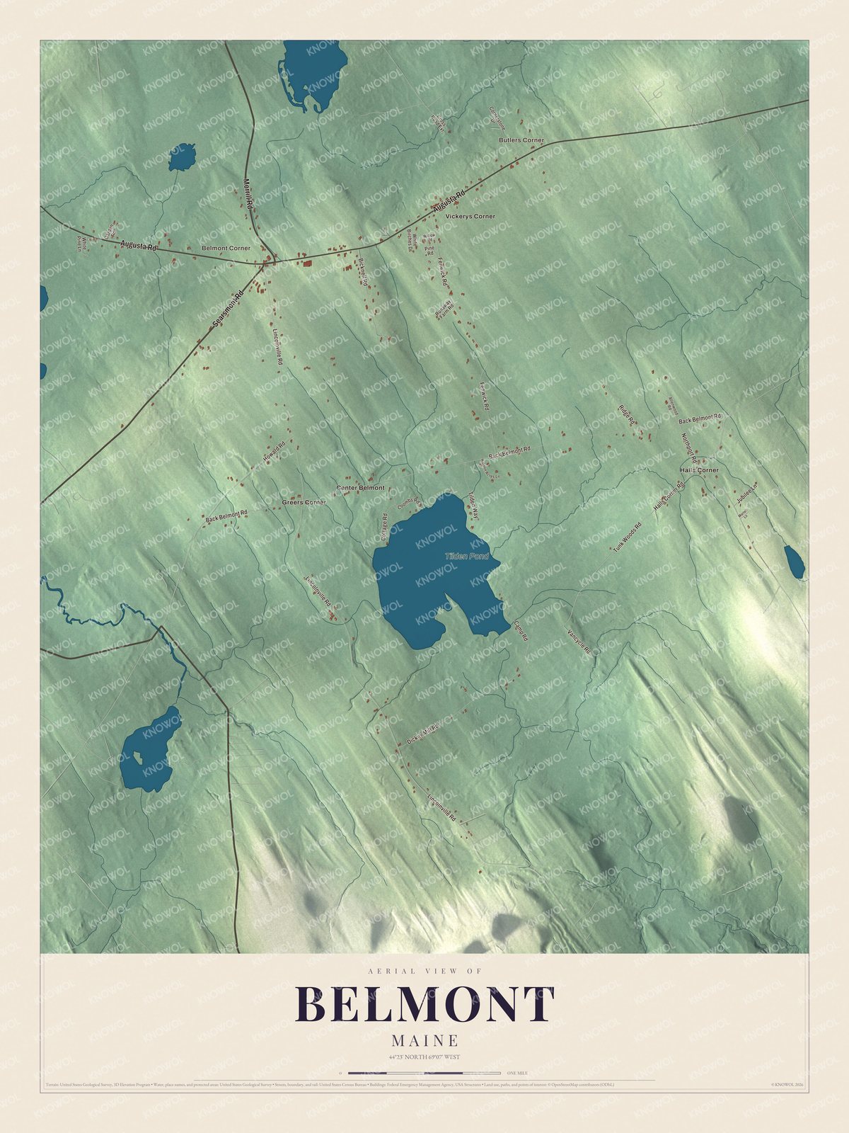
Click to explore a larger preview. The digital watermark does not appear on printed maps.
See it on a wall
The Belmont map as a framed print. Swipe for more.


Tilden Pond and the Ducktrap
Tilden Pond is printed on the map. Its page describes a typical coastal warm water pond, about 230 feet above the sea and only 11 feet deep at its deepest in a 1998 report, and a popular place to fish for smallmouth bass, chain pickerel and white perch. The Ducktrap River begins at its outflow and runs 10.0 miles southeast, through Camden Hills State Park, to West Penobscot Bay in Lincolnville.
Butlers Corner, Belmont Corner, Center Belmont and Halls Corner are printed too, and Halls Corner Road carries the name of the last. Augusta Road and Tunk Woods Road are printed on the map as well.
This map of Belmont makes a handsome addition to an office, library or den, and it can teach children the geography and history of a country town of corners and crossroads. It’s made for anyone who calls Belmont home, from Greers Corner to Tilden Pond, as it looks today. Zoom in on the preview above to explore the details, then click here to get your copy of the Belmont, Maine map.

Sources