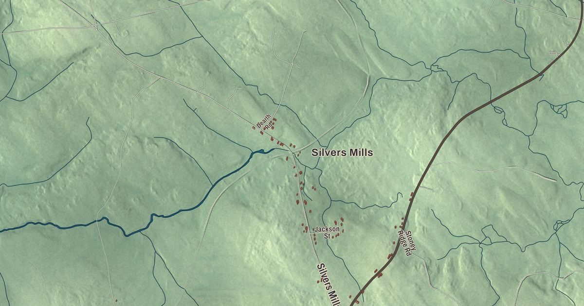
If you grew up in Dexter, Maine, you’ll find Church Street, Spring Street and Lake Wassookeag first on this map, then Silvers Mills and North Dexter. Corinna Road, Dover Road, Garland Road and Ripley Road head out past Carr Corner, Coolidge Corner, Haseltine Corner, Russell Corner and Spooners Mill. Click here to purchase a print of this map for your wall.
Dexter is a town in Penobscot County, with 3,803 people at the 2020 census.
KNOWOL made this map in 2026 from public survey data and gave it the look of an old atlas. The Census Bureau measures the town at 37.16 square miles, 2.03 of them water, and its files give the streets and the town line. United States Geological Survey elevation data shades the hills, and Dexter has a listed elevation of 466 feet.
Named in an election year
Settlers from New Hampshire, Ebenezer Small and David Smith among them, began arriving in 1801, and the place was first called Elkinstown. When it was incorporated in 1816, the town named itself for Judge Samuel Dexter, who was then running for governor of Massachusetts, since Maine was still part of that state. Brooks, in Waldo County, was incorporated the same year and took the name of his opponent, John Brooks. Brooks won the election, but the town’s page notes that Dexter grew the more prosperous of the two.
The town grew because of the East Branch of the Sebasticook River, which flows out of Lake Wassookeag and gave the mills excellent water power. Samuel Elkins started the first mill about 1801 on the lake shore. Jonathan Farrar bought that property in 1817 and set up a grist mill at the falls, digging a mill pond and canal to power it. The Dexter Grist Mill that stands there now was built in 1854, near Main and Spring Streets, and the Maxwell family, descended from its first miller, ran it until 1966. It became the Dexter Historical Society’s museum in 1967, and its page calls it one of a few surviving mid-19th-century mills in Maine.
Wool, then shoes
The same stream powered five woolen mills. The oldest and largest was started in 1836 by Amos and Jeremiah Abbott, and Amos Abbott and Company stayed in the family until it closed in 1975; the town’s page says no other textile mill in the United States was owned by one family for so long. Jere Abbott, born in Dexter in 1897, left for the art world and became the founding associate director of the Museum of Modern Art in New York and then director of the Smith College Museum of Art, before coming home in 1946 to serve as treasurer of the family woolen company.
In 1958 Harold Alfond bought an empty woolen mill in Dexter and started the Dexter Shoe Company. Its log cabin style factory outlets made the town’s name familiar across New England in the 1960s, and Alfond is often credited with inventing the factory outlet store.
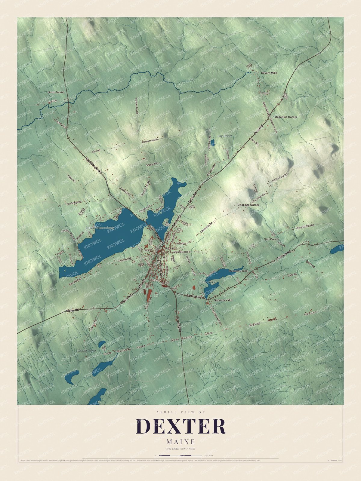
Click to explore a larger preview. The digital watermark does not appear on printed maps.
See it on a wall
The Dexter map as a framed print. Swipe for more.


The village center
Five buildings in Dexter are on the National Register of Historic Places. The Universalist Church on Church Street, the tallest building in town and its oldest house of worship, was built about 1829 and restyled in the late 1860s by Boston architect Thomas Silloway; its page counts it as one of only three relatively unaltered Silloway works left in Maine. Also on Church Street, the Abbott Memorial Library of 1894 was a gift of mill owner George Amos Abbott, designed by J. Williams Beal, with the names of European writers cut into its cornice. The Bank Block at 15 Main Street went up in 1876 for two local banks, with a Masonic lodge upstairs, and was rebuilt at the top after a fire in 1896. Zions Hill, the house where Ralph Owen Brewster grew up, was enlarged for him in the 1930s by John Calvin Stevens and his son. Brewster served two terms as governor of Maine and later sat in the United States House and Senate, and the house is now the Brewster Inn. Downtown, the Memorial Building by John Morrison carries the town’s largest clock, named Nancy for the architect’s wife.
Around town
Lake Wassookeag is labeled on the map, with Echo Lake, Gould Pond and Lily Pond. Church Street and Spring Street are printed, and so are Corinna Road, Dover Road, Garland Road and Ripley Road. Silvers Mills, North Dexter, Carr Corner, Coolidge Corner, Haseltine Corner, Russell Corner and Spooners Mill appear on the map too, and the side streets around them are drawn in as well.
This Dexter map makes a fine addition to an office, library or den, and it can help teach children the geography and history of the area. It’s made for everyone who calls Dexter home, from Lake Wassookeag to Spooners Mill, as it looks today. Zoom in on the preview above to explore the details, then click here to get your copy of the Dexter, Maine map.

Sources