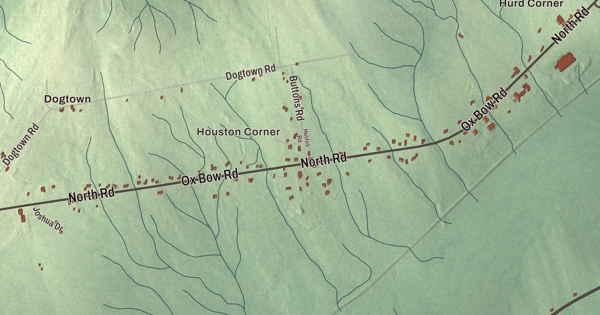
Detroit, Maine is said DEE-troyt. Main Street and Houston Corner are the places to start on this map of the town. River Road, Troy Road, North Road, Ox Bow Road and Brann Place lead out toward Plummer Corner, Dogtown and Hurd Corner. Click here to purchase a print of this map for your wall.
Detroit is a town in Somerset County, with 885 people at the 2020 census.
KNOWOL made this map in 2026 from public survey data and gave it the look of an old atlas. The Census Bureau measures the town at 20.42 square miles, only 0.17 of them water, and its files give the roads and the town line. United States Geological Survey elevation data shades the ground, and Detroit has a listed elevation of 190 feet.
Where two rivers meet
Detroit was incorporated in 1828, under the name Chandlerville. The census counted 852 people in 337 households here in 2010 and 885 in 2020. The town’s name is spelled like the Michigan city’s, but its page gives the pronunciation as DEE-troyt.
Two rivers come together in Detroit. The East Branch of the Sebasticook River leaves Sebasticook Lake in Newport and runs about 9.5 miles southwest to meet the main Sebasticook here. The Sebasticook itself is 76 miles long, rising in Dexter and reaching the Kennebec River in Winslow. A regional land trust calls it the largest tributary of the Kennebec, and it was once a major spawning ground for alewives, blueback herring, American shad, rainbow smelt and striped bass.
Two state highways meet in the middle of town as well. Route 69 comes in from Pittsfield, and Route 220 comes up from Troy. The two share the road for 0.70 miles through the downtown and part just after they cross the East Branch, with 69 heading southeast toward Plymouth and 220 running northwest into Palmyra, where it ends at a junction called Hurd’s Corner. Route 220 was carried through Troy and Detroit in the 1930s. Detroit shares Maine School Administrative District 53 with Burnham and Pittsfield, a district that also governs Maine Central Institute.
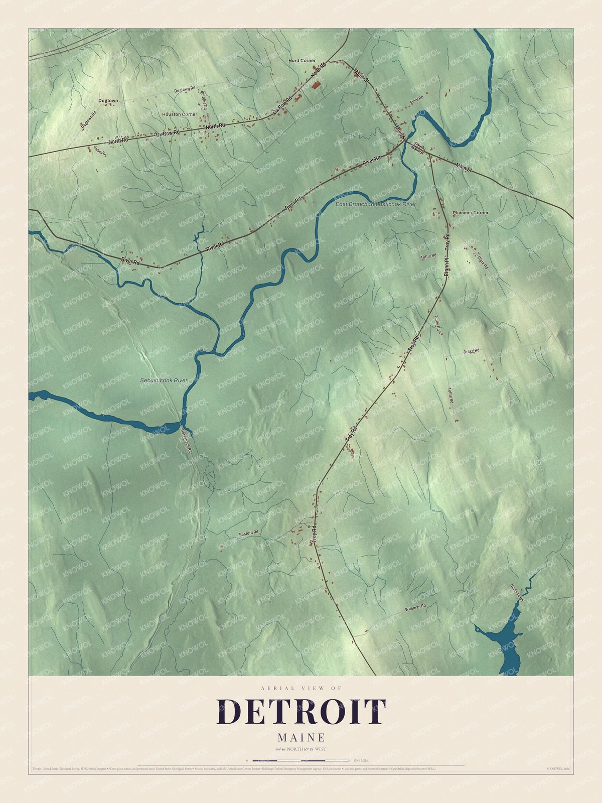
Click to explore a larger preview. The digital watermark does not appear on printed maps.
See it on a wall
The Detroit map as a framed print. Swipe for more.


Corners and roads
The Sebasticook River and the East Branch Sebasticook River are both labeled on the map. Main Street, River Road, Troy Road, North Road, Ox Bow Road and Brann Place are printed, and so are Houston Corner, Plummer Corner, Dogtown and Hurd Corner. Troy Road shares its name with the town Route 220 comes from, and Hurd Corner nearly shares its name with that Palmyra junction. The side roads between them are drawn in as well.
This Detroit map makes a fine addition to an office, library or den, and it can help teach children the geography and history of the area. It’s made for everyone who calls Detroit home, from Houston Corner to Dogtown, as it looks today. Zoom in on the preview above to explore the details, then click here to get your copy of the Detroit, Maine map.

Sources
- Detroit, Maine, Wikipedia
- List of municipalities in Maine, Wikipedia
- Maine Private and Special Laws 1828, chapter 539
- Maine Private and Special Laws 1828, chapter 539
- East Branch Sebasticook River, Wikipedia
- Sebasticook River, Wikipedia
- Maine State Route 220, Wikipedia
- Maine State Route 69, Wikipedia
- Maine School Administrative District 53, Wikipedia