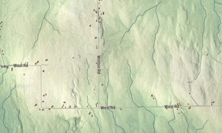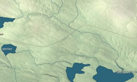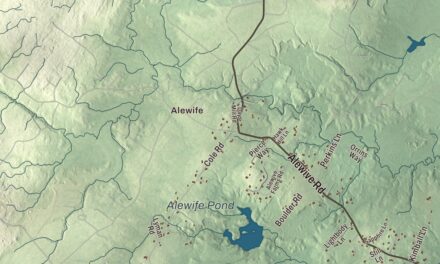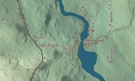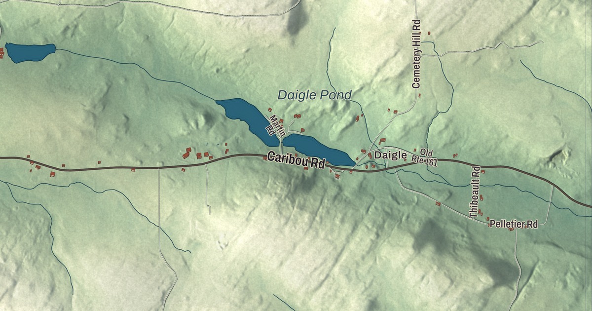
New Canada Road, Caribou Road and the Sly Brook Lakes lead you across this map of New Canada, the Aroostook County town that grew up around the village of Daigle. Click here to purchase a print of this map for your wall.
New Canada is a town in Aroostook County.
KNOWOL made this map in 2026 from public survey records, United States Geological Survey elevation data and Census Bureau files. Its atlas layout brings together New Canada’s roads, buildings, ponds and waterways, and terrain, the town boundary and the pattern of buildings.
The Daigle family’s town
New Canada, Nouveau-Canada in French, grew from one family’s settlement. Vital Daigle and his wife, Julie Cyr, came from nearby Frenchville looking for a new home, and the deed to their land, dated 1858, listed 13 members of the Daigle family. Other settlers from Frenchville followed, and the small community of Daigle grew up around them. It’s still the only named community in the town, 8 miles south of Fort Kent.
In 1882 Vital Daigle developed a property south of the family homestead that he called New Canada Plantation, where he made lumber, and the township took the name New Canada. Daigle had its own post office from 1899 to 1933, with Vital Daigle as the first postmaster. Holy Family Parish built a church there in 1906. The church closed in 2000, a monument now marks where it stood, and the cemetery beside it holds the graves of many early families.
The 2020 census counted 310 people in New Canada. The town covers 36.36 square miles, of which 0.58 of a square mile is water.
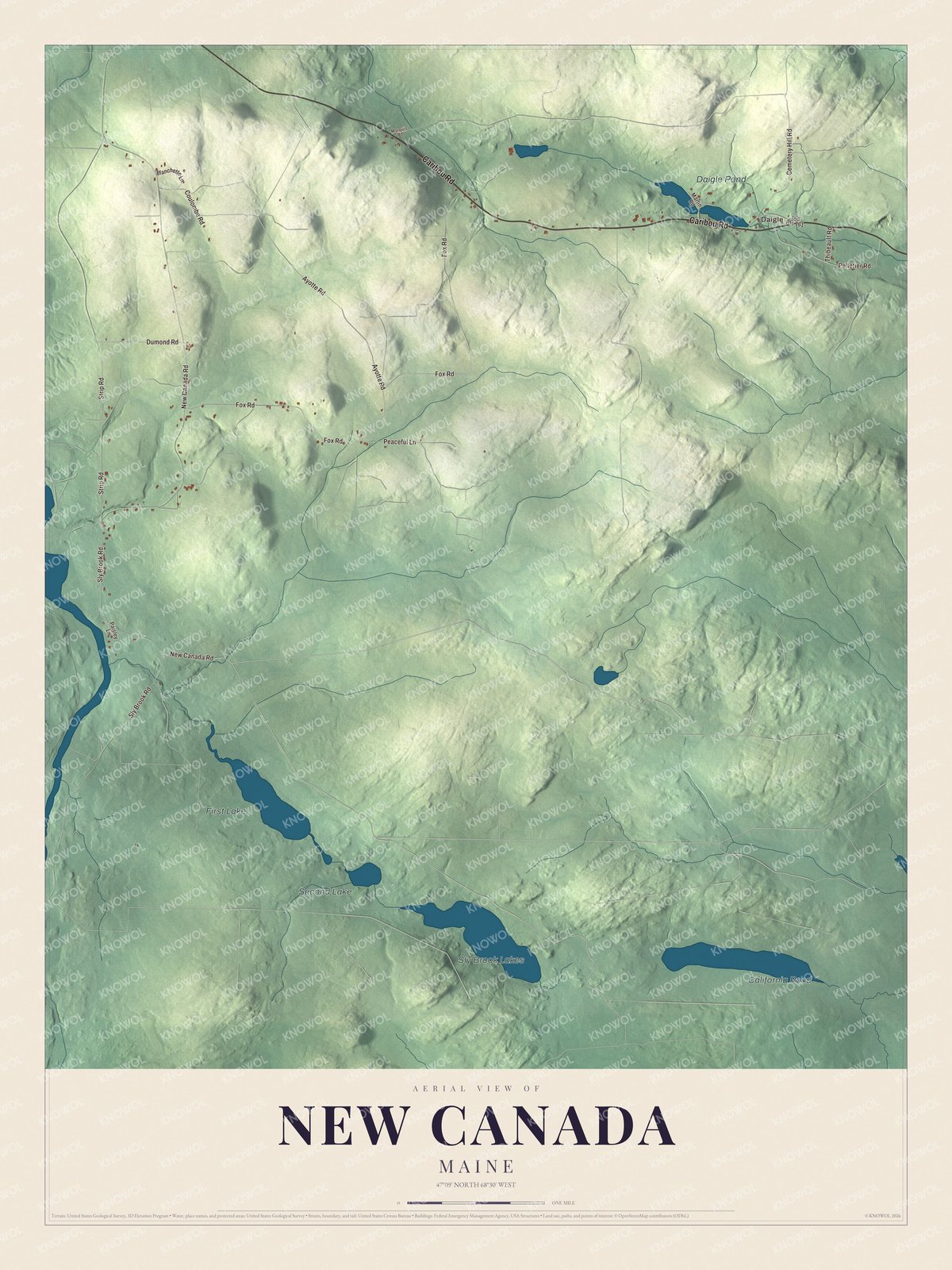
Click to explore a larger preview. The digital watermark does not appear on printed maps.
See it on a wall
The New Canada map as a framed print. Swipe for more.


Explore the New Canada map
Start with Daigle, then follow Caribou Road, Cemetery Hill Road, New Canada Road, Fox Road, Sly Brook Road and Ayotte Road across town. All of those names are printed on the artwork.
Sly Brook Lakes, California Pond, First Lake and Second Lake are labeled as well. Look for the lakes and ponds among the fields and woods, and compare the cluster of buildings at Daigle with the houses spread along the roads.
For people who call New Canada home, this map shows the town as it looks today. Put it in your office, library, or den, or use it to teach children the geography and history of the area. Zoom in on the preview above to explore the details, then click here to get your copy of the New Canada, Maine map.

Sources