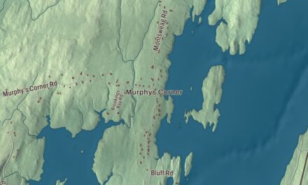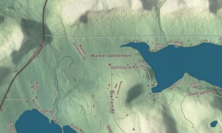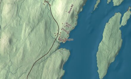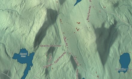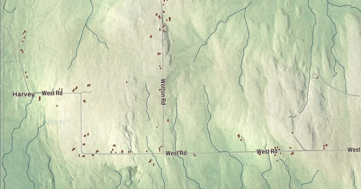
Hill Siding Road and East Road cross Monticello on this map, with Conroy Lake and Rideout Lake among the waters you’ll find. Click here to purchase a print of this map for your wall.
Monticello is a town in Aroostook County.
KNOWOL made this map in 2026 from public survey records, United States Geological Survey elevation data and Census Bureau files. Its atlas layout brings together Monticello’s roads, buildings, ponds and waterways, and terrain, the town boundary and the pattern of buildings.
Wellington Township
Monticello began as Wellington Township, owned and settled in 1830 by General Joel Wellington, and it was incorporated in 1846. It lies on the northern branch of the Meduxnekeag River, and the 2020 census counted 737 residents.
The town’s farm history includes the Amerisee, seasonal workers from all five Wabanaki tribes of Maine who traveled together for work across Aroostook County and Canada. Their name comes from a Mi’kmaq word meaning “some distance” or “quite far.” The 1900 census lists John Matthew, a basket maker who called himself Amerisee and whose parents were both Mi’kmaq, living in Monticello with his family. The Amerisee hoped to form a sixth tribe open to members of all five, and in the end their members rejoined their tribes of origin.
Born in Monticello
William Coperthwaite, who pioneered yurt building in the United States and won a Nautilus Book Award for A Handmade Life, was born in Monticello in 1930; his family moved to South Portland within a few years. Ralph Good, a pitcher for the Boston Doves in 1910, was born here too, and college basketball coach Max Good grew up in Monticello. The international shortwave station WBCQ broadcasts from the town.
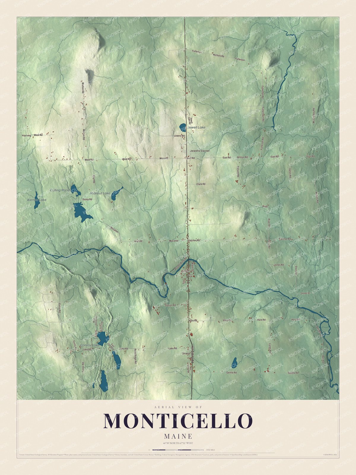
Click to explore a larger preview. The digital watermark does not appear on printed maps.
See it on a wall
The Monticello map as a framed print. Swipe for more.


Explore the Monticello map
Start with Harvey, then follow Hill Siding Road, East Road, Britton Road, Lynds Road, Fullerton Road and Wilkins Road across town. Those names are printed on the artwork, and Sharp and Jewells Corner are farther out.
Conroy Lake, Culling Pond, Rideout Lake and Alerton Lake are labeled too. Compare the open farmland with the woods, and look for the lakes and ponds scattered among them.
For people who call Monticello home, this map shows the town as it looks today. Put it in your office, library, or den, or use it to teach children the geography and history of the area. Zoom in on the preview above to explore the details, then click here to get your copy of the Monticello, Maine map.

Sources