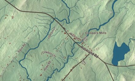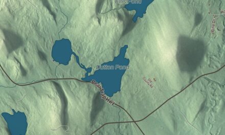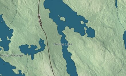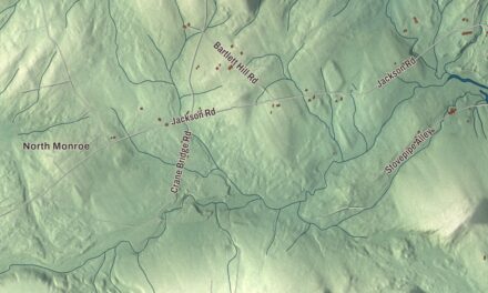
Monson sits on Route 15, the road north into the Moosehead Lake region, and this map puts North Main Street, Greenville Road and Lake Hebron in one view. Click here to purchase a print of this map for your wall.
Monson is a town in Piscataquis County.
KNOWOL made this map in 2026 from public survey records, United States Geological Survey elevation data and Census Bureau files. Its atlas layout brings together Monson’s roads, buildings, ponds and waterways, and terrain, the town boundary and the pattern of buildings.
Founded in 1822
Monson was founded by an act of the state legislature on February 8, 1822, and held its first town meeting on April 22. It was named for Monson, Massachusetts, and its land had been part of a grant made in 1811 to Hebron Academy and Monson Academy. The first settler came in 1816, after clearing trees for a settlement the fall before.
Henry David Thoreau mentions Monson in The Maine Woods, including a drawing of moose antlers showing the way to Blanchard and Monson. Today the town is the last one on the Appalachian Trail at the edge of the Hundred-Mile Wilderness, and hikers often rest here before or after the trip.
Slate, rails and furniture
Slate quarries opened here in the later 1800s, and local history credits the find to a resident who had come from Wales, who spotted it while driving his horse through the countryside. The quarries brought new residents and income. Monson slate has very low ionizable mineral content and was well suited to electric switchboards, and it was also shaped into sinks, bathtubs, tabletops, chalkboards, roof shingles and headstones. The headstone at John F. Kennedy’s grave in Arlington National Cemetery is Monson slate.
Large-scale slate work needed a railroad. The Monson Railroad, a 2-foot gauge line, reached the village on September 4, 1883, and carried slate and passengers to the Bangor and Aroostook Railroad in Abbot until 1943. The Scientific American of 1890 called it the smallest railroad in the United States. From 1945 until 2007, Moosehead Manufacturing made furniture in former slate company buildings, with as many as 250 workers at its height.
A photographer and an engine house
Photographer Berenice Abbott, known for her black-and-white pictures of New York City in the 1930s, bought a run-down house in Blanchard and later moved to nearby Monson, where she lived until her death in 1991. Her last book was A Portrait of Maine. On Main Street, the Monson Historical Society Museum fills the old engine house, built in 1889 for fire equipment and a hall for Civil War veterans. It’s on the National Register of Historic Places as one of a small number of surviving 19th-century fire stations in rural interior Maine.
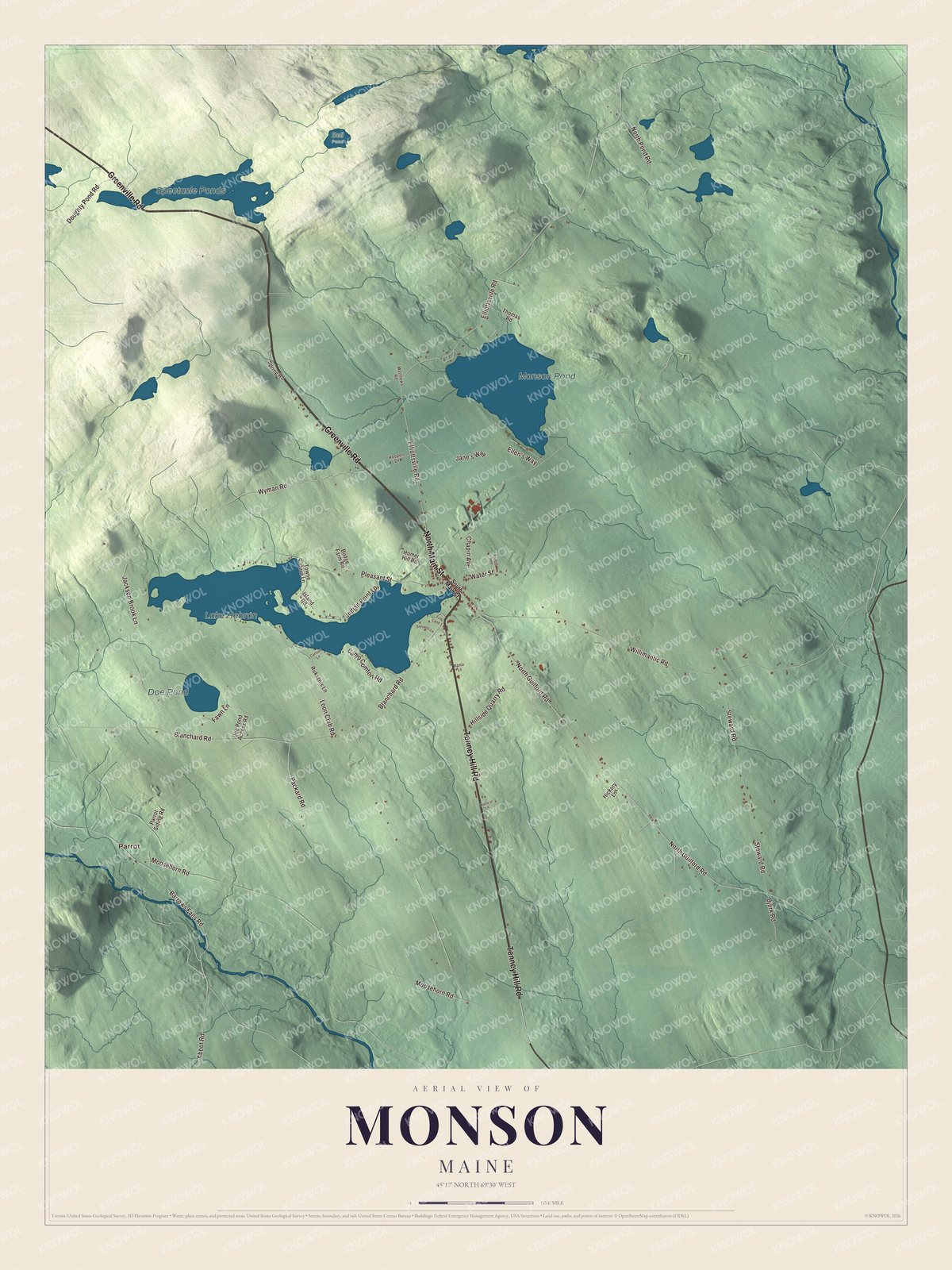
Click to explore a larger preview. The digital watermark does not appear on printed maps.
See it on a wall
The Monson map as a framed print. Swipe for more.


Explore the Monson map
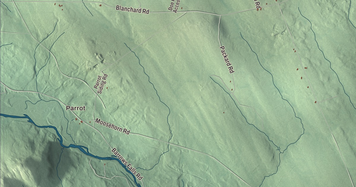
Start with Parrot, then follow Tenney Hill Road, Greenville Road, North Main Street, North Guilford Road, Moosehorn Road and Elliottsville Road across town. Those are printed names on the artwork.
Lake Hebron, Monson Pond and Doe Pond are labeled too. A steamboat took people on trips on Lake Hebron in the late 1800s and early 1900s, and in 1909 the railroad laid track out to two quarries on Monson Pond. Follow the shorelines and compare the village buildings with the woods around them.
For people who call Monson home, this map shows the town as it looks today. Put it in your office, library, or den, or use it to teach children the geography and history of the area. Zoom in on the preview above to explore the details, then click here to get your copy of the Monson, Maine map.

Sources