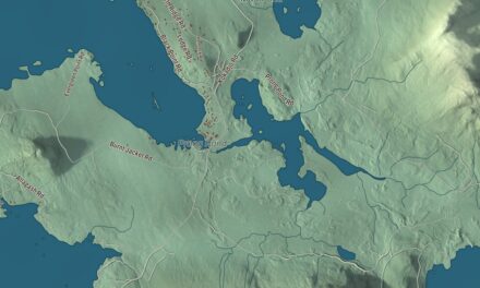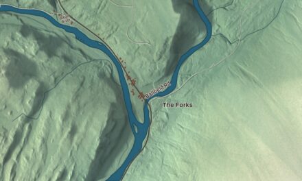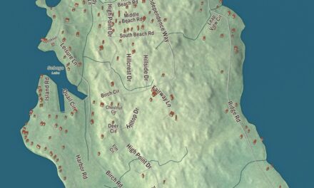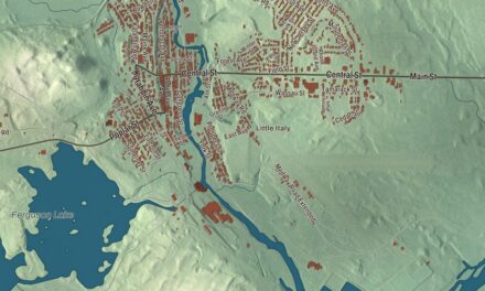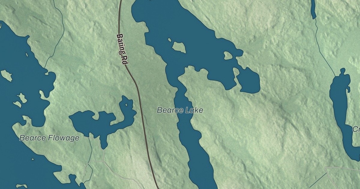
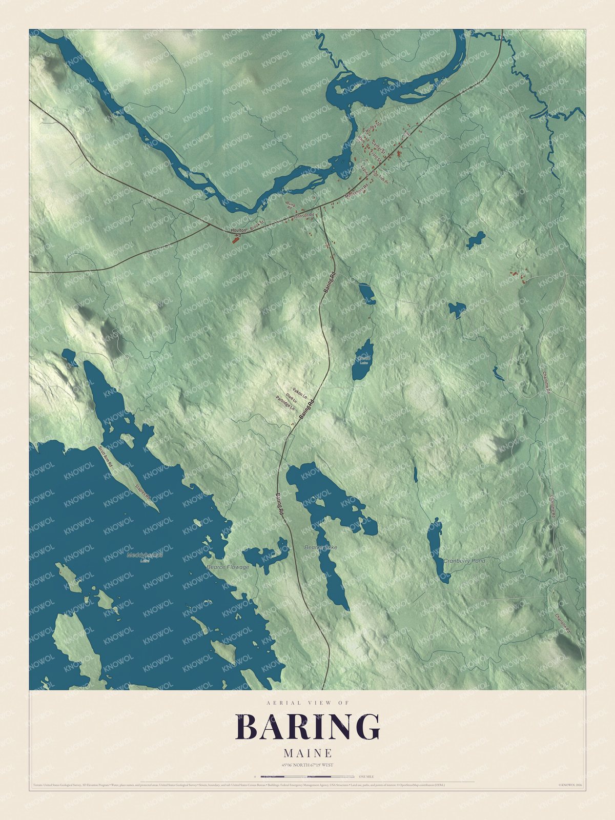
Baring is a plantation on the St. Croix River, on the border with New Brunswick. This map prints Baring Road and the plantation’s back roads, Charlotte Road, Scott Arm Road, Staples Road, Partridge Lane and Moosehorn Road, along with Bearce Lake and Cranberry Pond. Click here to purchase a print of this map for your wall.
Baring is a plantation in Washington County, and it had 201 people at the 2020 census.
KNOWOL made this map in 2026 from public survey data and gave it the look of an old atlas. The shaded terrain comes from United States Geological Survey elevation data, and the roads and the plantation line come from the Census Bureau, which counts 24.1 square miles here, 20.9 of them land and 3.2 water, a little over 13 percent. State Route 191, which begins 61 miles away in Lubec and gives drivers a way around Calais, ends in Baring at U.S. Route 1 and State Route 9.
Named for a treaty maker
Baring dates to 1825, and it’s still a plantation rather than a town. It’s named for Alexander Baring, 1st Baron Ashburton, the British politician, diplomat and financier from the banking family behind Barings Bank. He was the British negotiator of the Webster-Ashburton Treaty, which settled the boundary dispute of the Aroostook War of 1838 and 1839. The plantation’s page doesn’t say when or why it took his name, and this article won’t guess.
The St. Croix long carried logs and pulpwood down from the interior forests to the water-powered mills at Woodland and Calais. The railroad still crosses it at Baring: the Woodland Rail line from Calais to the Baileyville pulp mill runs up the river valley and, at Baring, crosses to Upper Mills, New Brunswick, on the Baring Railroad Bridge, before coming back to the Maine side at Woodland Junction.
Click to explore a larger preview. The digital watermark does not appear on printed maps.
See it on a wall
The Baring map as a framed print. Swipe for more.


Moosehorn country
Moosehorn Road is printed on the map. It shares its name with the Moosehorn National Wildlife Refuge. The refuge’s Baring Division covers 20,016 acres off U.S. Route 1, southwest of Calais, and it’s one of the northernmost refuges on the Atlantic Flyway, the migration route along the East Coast. About a third of the refuge is federal wilderness, left to grow toward old forest. Bald eagles are often seen around Magurrewock Marsh in the Baring Division, and in mid-May the woods fill with migrating warblers, 26 species of which nest on the refuge.
Charlotte Road is printed too, and the refuge’s page says ospreys nest on platforms along the Charlotte Road, as many as four pairs at a time. Baring Road, Scott Arm Road, Staples Road and Partridge Lane are printed as well, with Bearce Lake and Cranberry Pond. Baring’s high school students go to Calais High School or to Woodland High School in Baileyville.
This Baring map makes a handsome addition to an office, library or den, and it can teach children the geography and history of a border plantation on the St. Croix. It’s made for anyone who calls Baring home, from Bearce Lake to Charlotte Road, as it looks today. Zoom in on the preview above to explore the details, then click here to get your copy of the Baring, Maine map.

Sources