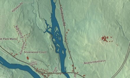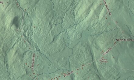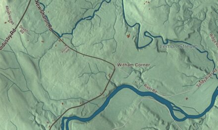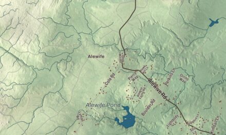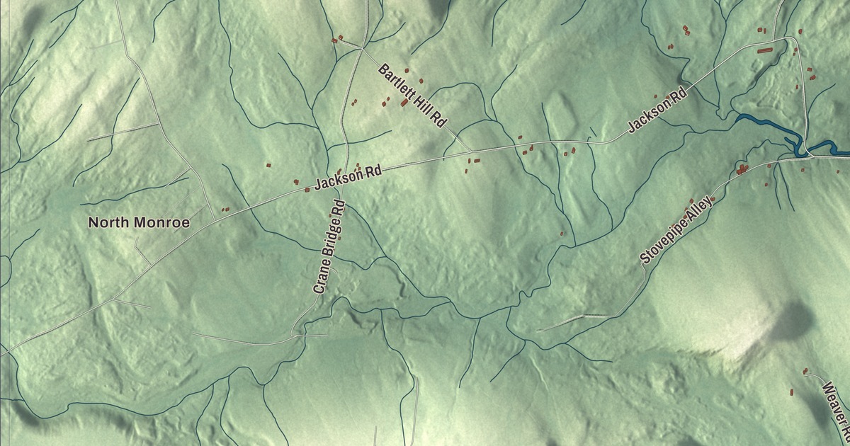
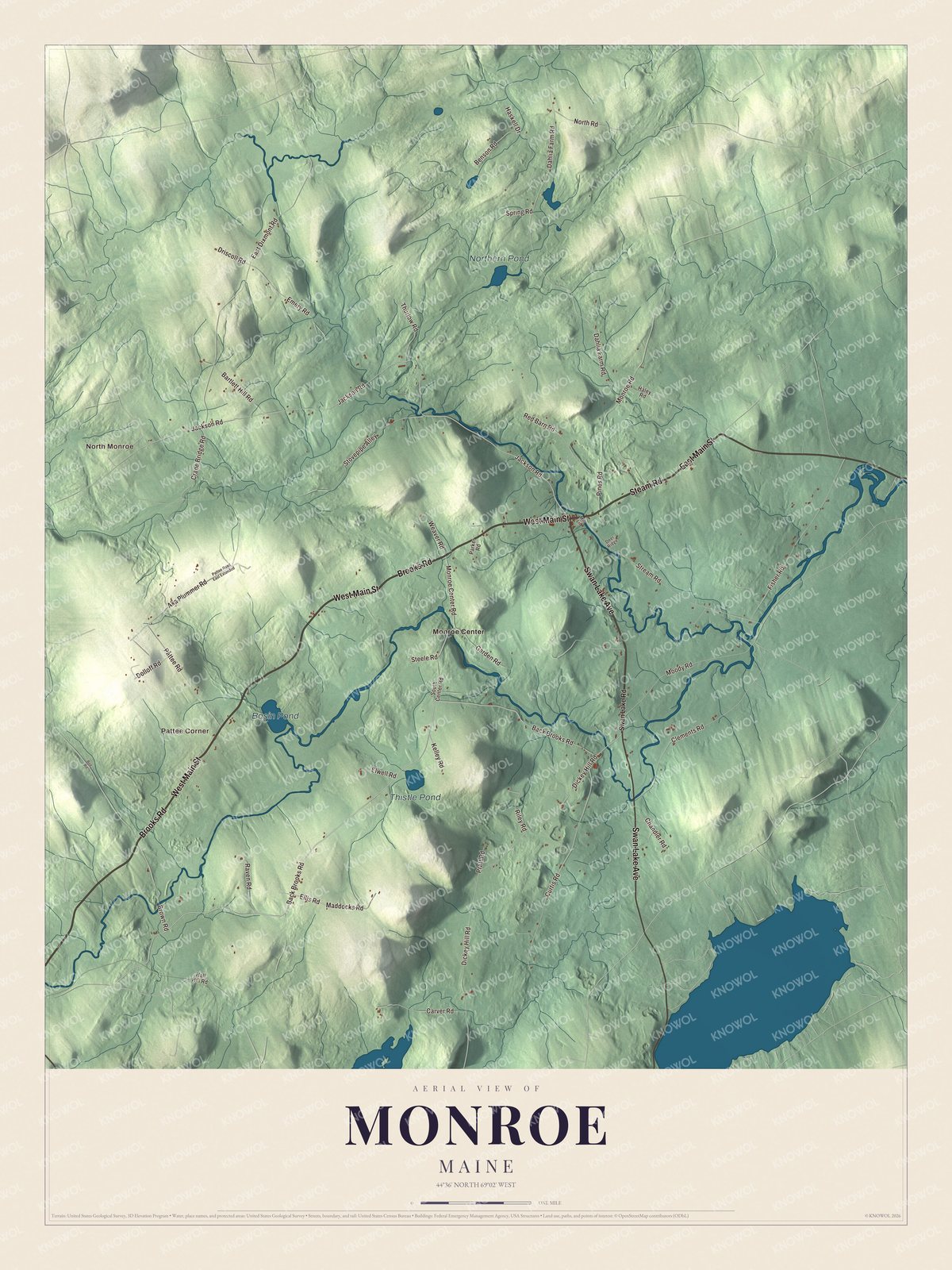
Swan Lake Avenue, East Main Street and Back Brooks Road are names Monroe drivers know, and this map sets them among Basin Pond, Thistle Pond and Northern Pond. Click here to purchase a print of this map for your wall.
Monroe is a town in Waldo County.
KNOWOL made this map in 2026 from public survey records, United States Geological Survey elevation data and Census Bureau files. Its atlas layout brings together Monroe’s roads, buildings, ponds and waterways, and terrain, the town boundary and the pattern of buildings.
A town named for a president
Monroe takes its name from President James Monroe, and it was incorporated in 1818. Routes 139 and 141 cross here, and the town is bordered by Newburgh to the north, Winterport and Frankfort to the east, Swanville to the south, Brooks to the southwest, Jackson to the west and Dixmont to the northwest. The 2020 census counted 931 residents.
Water is scarce in Monroe: Census Bureau figures put it at 0.11 of the town’s 39.03 square miles. The principal ponds are Chase Bog Pond at 67 acres, Basin Pond at 28 acres, Lily Pond at 27, Thistle Pond at 16 and Northern Pond at 15.
Click to explore a larger preview. The digital watermark does not appear on printed maps.
See it on a wall
The Monroe map as a framed print. Swipe for more.


Explore the Monroe map
Start with North Monroe, then follow Swan Lake Avenue, East Main Street, Steam Road, West Main Street, Brooks Road and Back Brooks Road across town. Those are printed names, and Pattee Corner and Monroe Center are farther out.
Basin Pond, Thistle Pond and Northern Pond are labeled as well. Look for the small ponds among the fields and woods, and trace the roads out toward the neighboring towns.
For people who call Monroe home, this map shows the town as it looks today. Put it in your office, library, or den, or use it to teach children the geography and history of the area. Zoom in on the preview above to explore the details, then click here to get your copy of the Monroe, Maine map.

Sources